Off the coast of Vancouver Island, scientists have captured unusually sharp images of a tectonic plate that is breaking apart as it sinks beneath North America. They describe a slab drop of about five kilometers (roughly 3 miles) and a shutdown that happens in stages, creating smaller “microplates” instead of one clean snap.
It might sound like a story for geology textbooks, but the Pacific Northwest’s coast lives with the consequences of what happens offshore. Plate tears can influence where earthquakes concentrate, how tsunamis are triggered, and even where warm fluids and methane seep out of the seabed, shaping small pockets of marine habitat.
A subduction zone caught “in the act” of coming undone
The research zooms in on northern Cascadia, where the Juan de Fuca and Explorer plates move beneath the North American plate near a complicated ridge, trench, and fault intersection. In the new picture, a boundary called the Nootka Fault Zone helps slice the incoming plate into separate pieces while nearby segments keep subducting.
To see it, the team paired deep seismic reflection imaging with regional earthquake catalogs, using data from the Cascadia Seismic Imaging Experiment. Lead author Brandon Shuck called it the first clear picture of a subduction zone “caught in the act of dying,” and he compared the breakup to “watching a train slowly derail, one car at a time.”
The seismic “ultrasound” comes from sound waves sent from a ship and recorded by a 15-kilometer-long streamer of underwater sensors. Those echoes revealed faults and fractures deep beneath the ocean floor, including a large offset where part of the slab has dropped by about five kilometers.
Why this matters for coasts, communities, and ecosystems
Cascadia is not just a line on a map; it is a generator of major hazards. Natural Resources Canada notes that the Pacific Coast is the country’s most earthquake-prone region, and more than 100 earthquakes of magnitude 5 or greater have occurred offshore west of Vancouver Island over the past 70 years.
So how often do the biggest events show up? Regional estimates vary, but scientists commonly talk about repeat times measured in centuries, and Canada’s Geological Survey points to geologic evidence for huge subduction earthquakes striking the coast every 300 to 800 years.
The new tearing map does not mean the risk is suddenly off the table, especially on a human timescale. The LSU team stresses that the findings “do not significantly change the hazard outlook for Cascadia,” but they can help researchers test how breaks in the slab might steer future ruptures and improve scenario modeling.

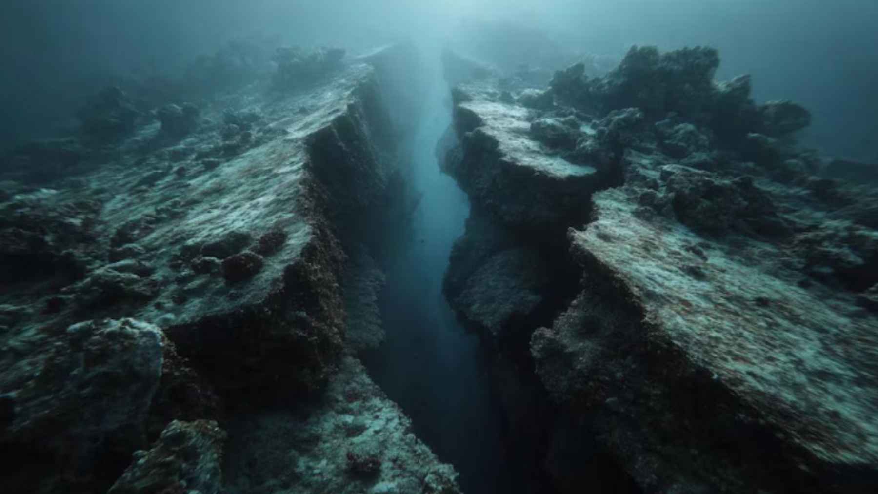
An artistic illustration depicts a tectonic plate breaking apart beneath the ocean, highlighting fractures and separation zones in a subduction system.
The seafloor “plumbing” that moves heat and methane
There is also a quieter environmental storyline running underneath the earthquake talk. In the study’s images, the active Nootka Fault Zone appears as a fault network about 20 kilometers wide, and the broader, older shear zone stretches beyond 100 kilometers, a geometry that can act like a giant set of cracked pipes through the crust.
Those cracks can move more than stress. The authors report seismic disturbances consistent with fluid expulsion and methane gas in the sediment column, building on prior observations of warm fluids and methane seeping from features such as the Maquinna mound along the fault system.
Methane matters because it is a potent greenhouse gas, and in the ocean it can also shape local chemistry and biology. Related work on the Nootka Fault Zone has documented warm water plumes and seafloor communities linked to hydrothermal circulation, a reminder that tectonics can create small but meaningful habitat hotspots.
What happens next when a plate “dies” in pieces
Over millions of years, tearing can change the way heat moves through a region. The study notes that slab detachment can open “slab windows,” letting hot mantle rise and potentially fueling pulses of volcanism and uplift, even if the details can be messy and slow.
In practical terms, plate boundaries are not fixed seams, and this is a good example of why. The authors outline a future where the northern Cascadia subduction zone could shorten by about 75 kilometers as the Explorer segment detaches and boundaries reconfigure, a shift measured in geologic time rather than in news cycles.
For coastal communities, fisheries, and the people who just like to walk the beach without thinking about what is under it, the next step is better monitoring and better maps of where plates are locked, sliding, or already separated.
That is the long game. The study was published in Science Advances.