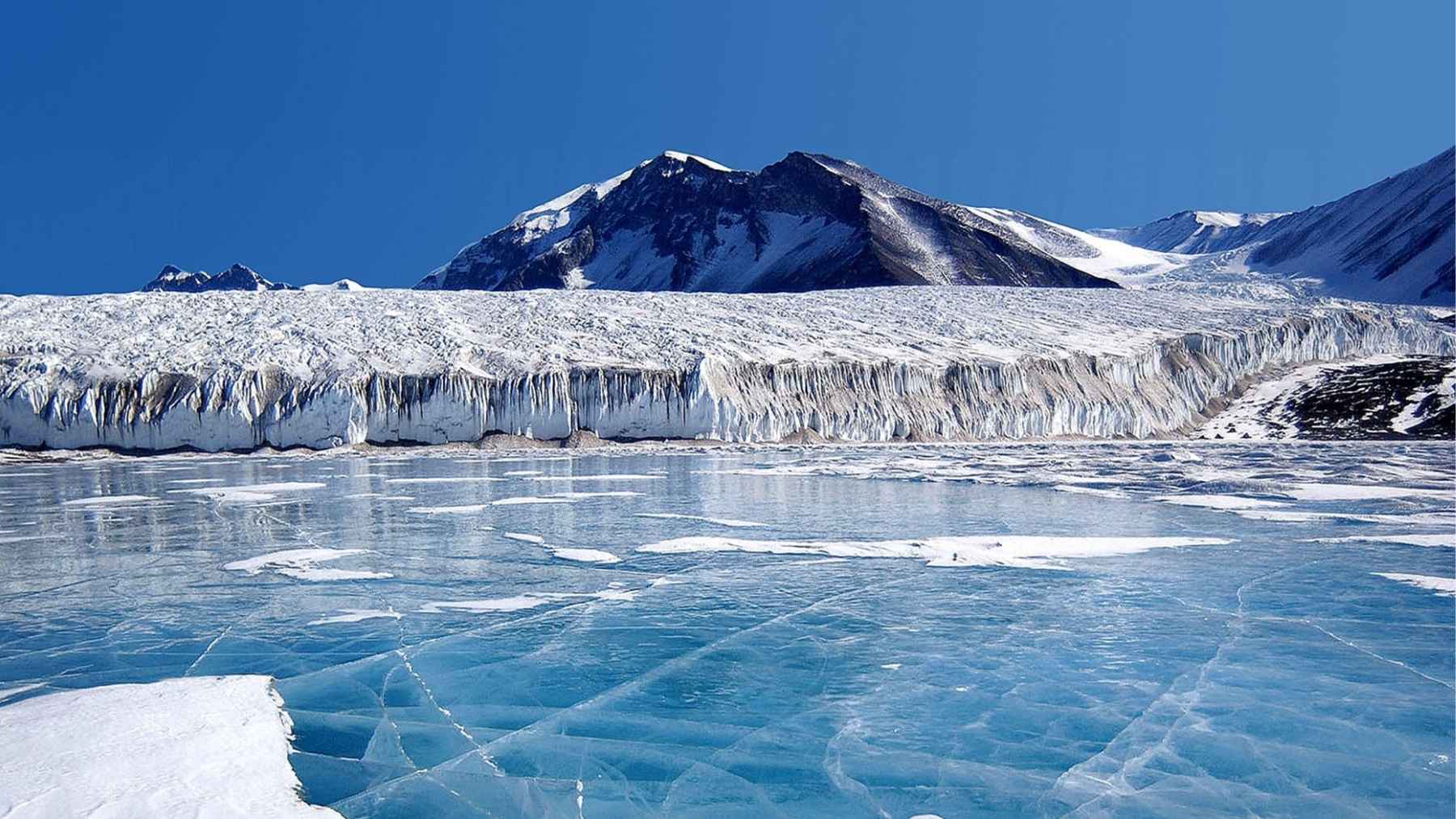
Hidden beneath more than two kilometers of ice, Antarctica conceals a rugged world of mountains, deep valleys and buried river channels.
A new continent-wide map has now revealed that secret landscape in unprecedented detail, using satellite data and the physics of ice flow in research published in the journal Science. Scientists say this sharper view of the bedrock should reduce one of the biggest uncertainties in projections of how fast Antarctic ice could melt and raise global sea levels.
For coastal communities already watching tides creep closer to roads and backyards, that matters a lot. At the end of the day, better maps beneath the ice feed better models of what might happen at the shoreline.
Reading the landscape without ever touching rock
The work was led by glaciologist Helen Ockenden and colleagues at the University of Edinburgh and partner institutions. Instead of drilling through ice, they used a technique called Ice Flow Perturbation Analysis, or IFPA.
The idea is simple in spirit, even if the math is intense. Ice flows over hills and valleys in the bed, and those bumps leave subtle ripples on the ice surface that satellites can see.
Ockenden likens it to paddling a canoe where hidden rocks make small swirls on the water that reveal where they are.
In practical terms, the team combined extremely detailed elevation data from the Reference Elevation Model of Antarctica, produced by the Polar Geospatial Center, with maps of ice speed from NASA’s MEaSUREs program, then applied the IFPA equations across the whole continent.
What makes this powerful is scale. Traditional ice-penetrating radar flights give precise slices of the bed but are expensive and slow to repeat. Ockenden’s map instead uses the ice itself as a messenger, filling in vast gaps between flight lines that had left one of the solar system’s least-mapped surfaces surprisingly blurry.
A hidden patchwork of canyons, plains and buried rivers
The new study shows that the Antarctic bed is anything but flat. The map resolves midsize features between about 2 and 30 kilometers across. Scientists found deep alpine-style valleys, broad scoured lowlands and extensive river channels that run for hundreds of kilometers beneath the ice.
Some of those channels probably formed long before the modern ice sheet grew, preserving traces of an ice-free Antarctica.
Other analyses of the same dataset suggest there are on the order of tens of thousands of previously unmapped hills and small valleys scattered across the continent. Robert Bingham, a co-author of the study, notes that the ice surface barely hints at the drama below.
When a three-kilometer-thick slab of ice glides over a canyon roughly one hundred meters deep, the surface may sink only a few meters, almost impossible to notice from the ground.
Yet those small changes matter. Steep, bumpy beds tend to slow the retreat of ice as the climate warms, a bit like a rough road slowing a bicycle. Smooth beds can let glaciers slide back toward the interior much more quickly. That difference translates, eventually, into how fast water reaches the ocean and how quickly the average person’s flood map might change.
Why this map matters for sea level
The Antarctic Ice Sheet is the largest single mass of ice on Earth and holds roughly 70 percent of the planet’s freshwater. Its ice averages around two kilometers thick and reaches nearly five kilometers in places. If even a small fraction of that ice ends up in the ocean, the effect on global sea level and on low-lying neighborhoods from Miami to Manila could be profound.
Reports from the Intergovernmental Panel on Climate Change already highlight Antarctica as one of the big wild cards in future sea-level projections, in part because scientists have lacked precise information about the bed that controls how ice flows.
Ockenden’s map gives modelers a more realistic “boundary condition”, the starting surface on which ice physics calculations play out. That should, to a large extent, narrow the range of scenarios planners need to consider when they decide which sea walls to reinforce or where not to build new housing.
The map also sheds light on how the Antarctic ice sheet first formed about 34 million years ago. In several smaller mountain ranges, the team sees networks of converging ridges that look very much like the birthplaces of mountain glaciers. Over millions of years, those modest glaciers likely merged and thickened until they grew into the continent-spanning ice sheet we see today.
Not the final word, but a big step
Scientists are careful to stress that this is not a perfect X-ray of the continent. The IFPA method relies on assumptions about how ice deforms and slides and it cannot yet resolve the smallest landforms, such as crevasses or narrow subglacial channels.
In a perspective accompanying the paper, glaciologist Duncan Young calls the map a major advance but “not the final word on Antarctic geography.”
That is actually good news for future work. The new map can guide where to fly the next generations of radar surveys, especially during the planned International Polar Year in the early 2030s. It also provides a crucial test bed for climate models that try to represent ice sheets more realistically, right down to how meltwater might move across that newly revealed landscape.
For the most part, it brings one of the most remote pieces of Earth a little closer to the coastal streets where sea-level change will be felt.
The study was published in Science.