Skip to content
Saturday, November 21, 2026
ECOnews

Science, nature and climate news from ECOticias

Home › Earth today, in pictures

Earth today, in pictures

What Earth looks like from space today: storms, fires, volcanoes and ice, in real images from NASA satellites.
The whole Earth
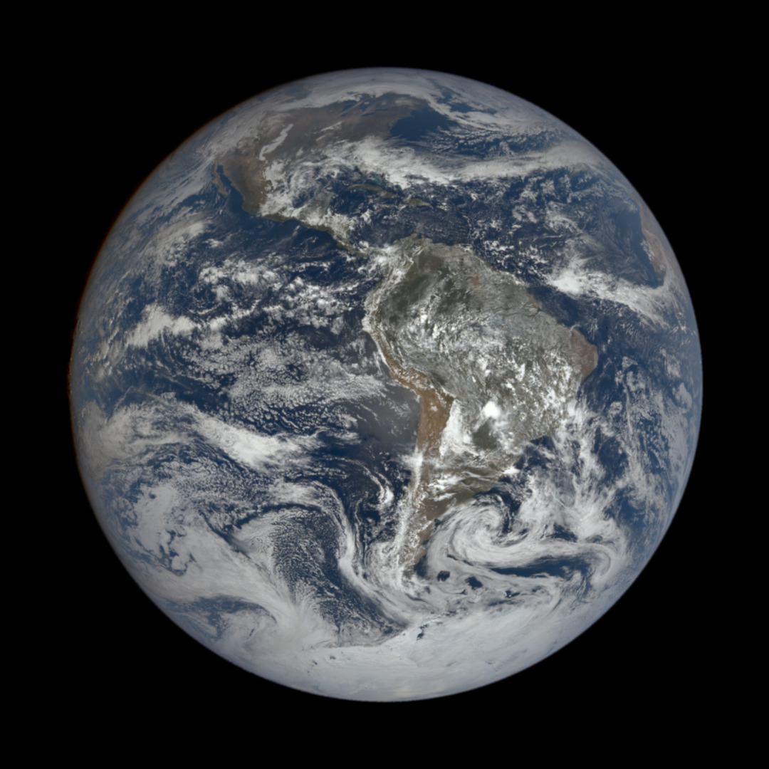
DSCOVR · Nov 19The whole EarthSeen by the DSCOVR satellite, a million miles away, on November 19. NASA EPIC (DSCOVR satellite)
Cyclone Akvan reaches India's east coast
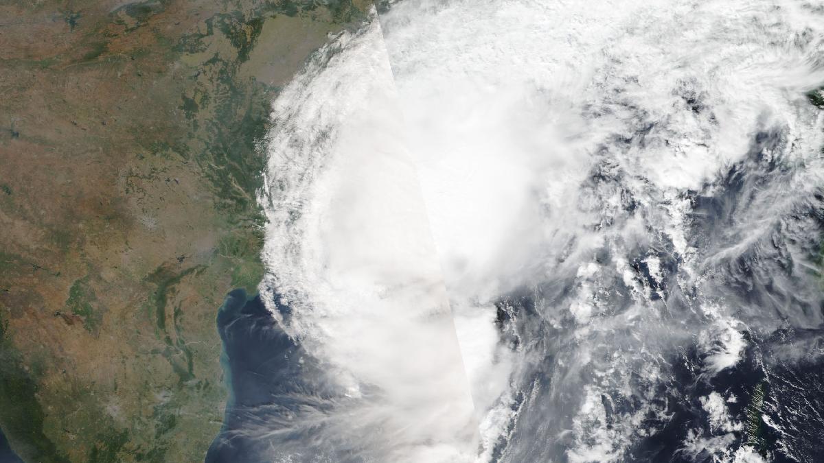
Storm · Nov 19Cyclone Akvan reaches India's east coastClouds from Tropical Cyclone Akvan blanket the Bay of Bengal coast of eastern India on November 19, 2026. The image shows the storm spreading over land. NASA Worldview (EOSDIS)
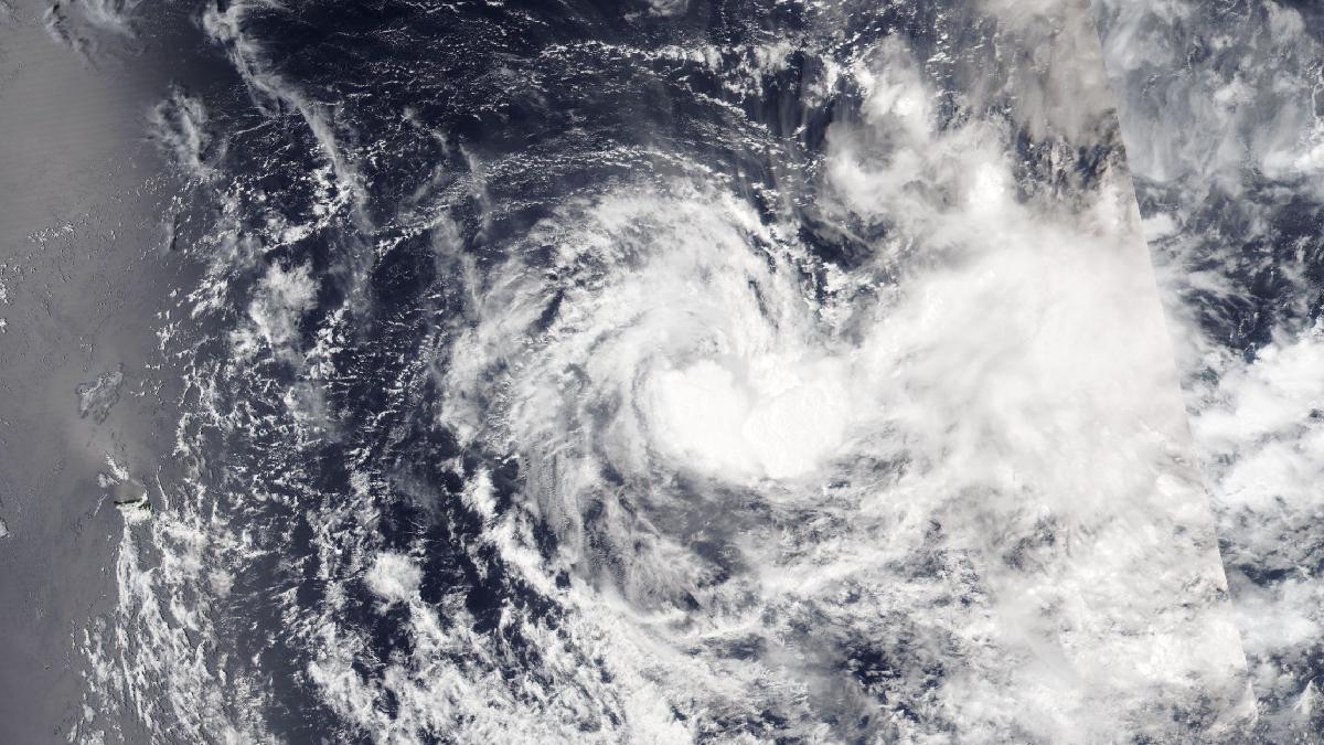
Cyclone Xavier spins in the South Pacific
Storm · Nov 20Cyclone Xavier spins in the South PacificTropical Cyclone Xavier shows its characteristic spiral shape over the South Pacific Ocean, north of the Cook Islands, on November 20, 2026. NASA Worldview (EOSDIS)
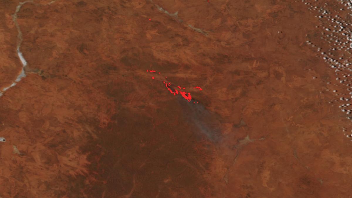
Wildfire in the Western Australian outback
Wildfire · Nov 19Wildfire in the Western Australian outbackRed dots mark active fire spots from a wildfire in the Western Australian desert on November 19, 2026. A faint smoke plume drifts to the southeast. NASA Worldview (EOSDIS)
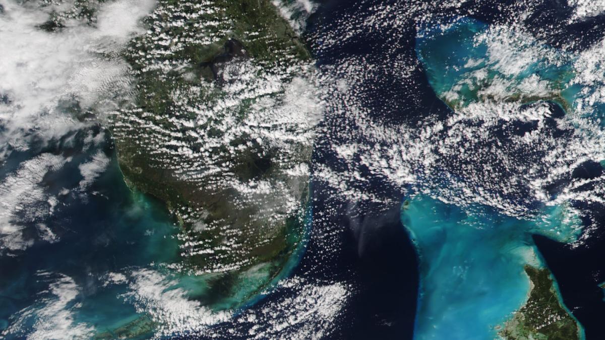
Flooding in South Florida
Flood · Nov 16Flooding in South FloridaSouth Florida, around Fort Lauderdale, on November 16, 2026, the date of a recorded flood in the area. The turquoise waters of the Bahamas appear to the right. NASA Worldview (EOSDIS)
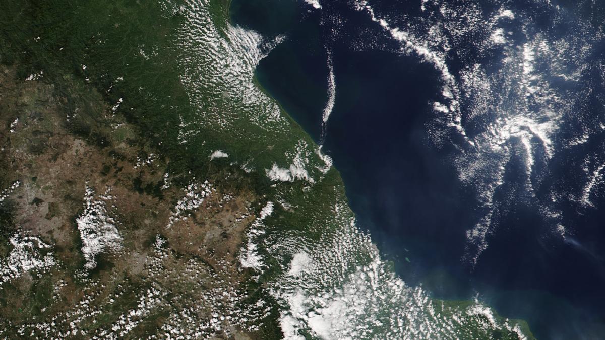
Flooding in Veracruz, Mexico
Flood · Nov 15Flooding in Veracruz, MexicoThe Gulf of Mexico coast in the state of Veracruz on November 15, 2026, the date of a recorded flood in the area. Murky water is visible along the shoreline. NASA Worldview (EOSDIS)

Updated: November 21 at 03:16 PM. Images: NASA (public domain). Events: NASA EONET.