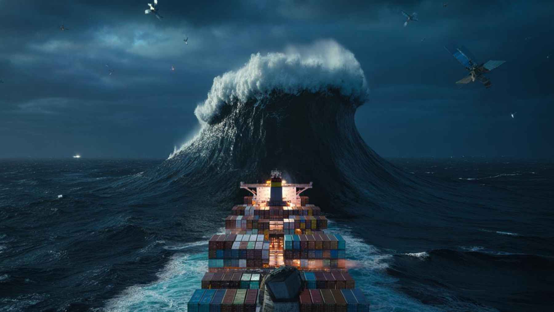
Imagine a cargo ship crossing the central Pacific on a calm, dark night while a wall of water taller than a ten story building races toward it. No one on the bridge can see the full shape of that wave, but high above, a radar satellite quietly measures its height at around 35 meters. The ship keeps steaming ahead, unaware that the ocean around it is no longer behaving by the old rules.
Scenes like this have moved from sailor stories to satellite data. Climate and ocean missions now show that extreme waves in the Pacific are not only real but may be appearing more often in places and seasons once considered routine, forcing scientists, ship owners, and coastal planners to rethink what counts as a safe sea state.
Satellites see waves that used to sound like myths
For most of the last century, reports of so called rogue waves sounded like exaggerations told in harbor bars. That changed when radar altimeters on European and American satellites began mapping wave height across the globe in the nineteen nineties, and agencies started to log individual waves far taller than the surrounding sea. Today, climate monitoring programs combine more than three decades of satellite records to track how often these giants appear in different ocean basins, using tools such as the Global Ocean extreme wave height indicator.
The United States National Oceanic and Atmospheric Administration defines rogue waves as rare walls of water more than twice the height of nearby waves, steep, sudden, and dangerous enough to damage even large vessels. Early in this century, a European Space Agency project using its ERS satellites showed that such waves are far more common than ship design rules once assumed and linked them to several unexplained sinkings. That work turned old folklore into a recognized safety problem.
The latest leap comes from the French and United States Surface Water and Ocean Topography satellite and companion missions that flew over a huge North Pacific storm in December twenty twenty four. A European team led by oceanographer Fabrice Ardhuin at the Laboratory of Physical and Spatial Oceanography later showed that during the peak of that system, average waves exceeded nineteen meters and that some individual crests likely reached or surpassed thirty five meters, a new record from space, as summarized by ESA’s Sea State climate analysis.
Those data sit inside wider climate services that estimate trends in extreme significant wave height since the early two thousands, supported by long term satellite altimetry studies.
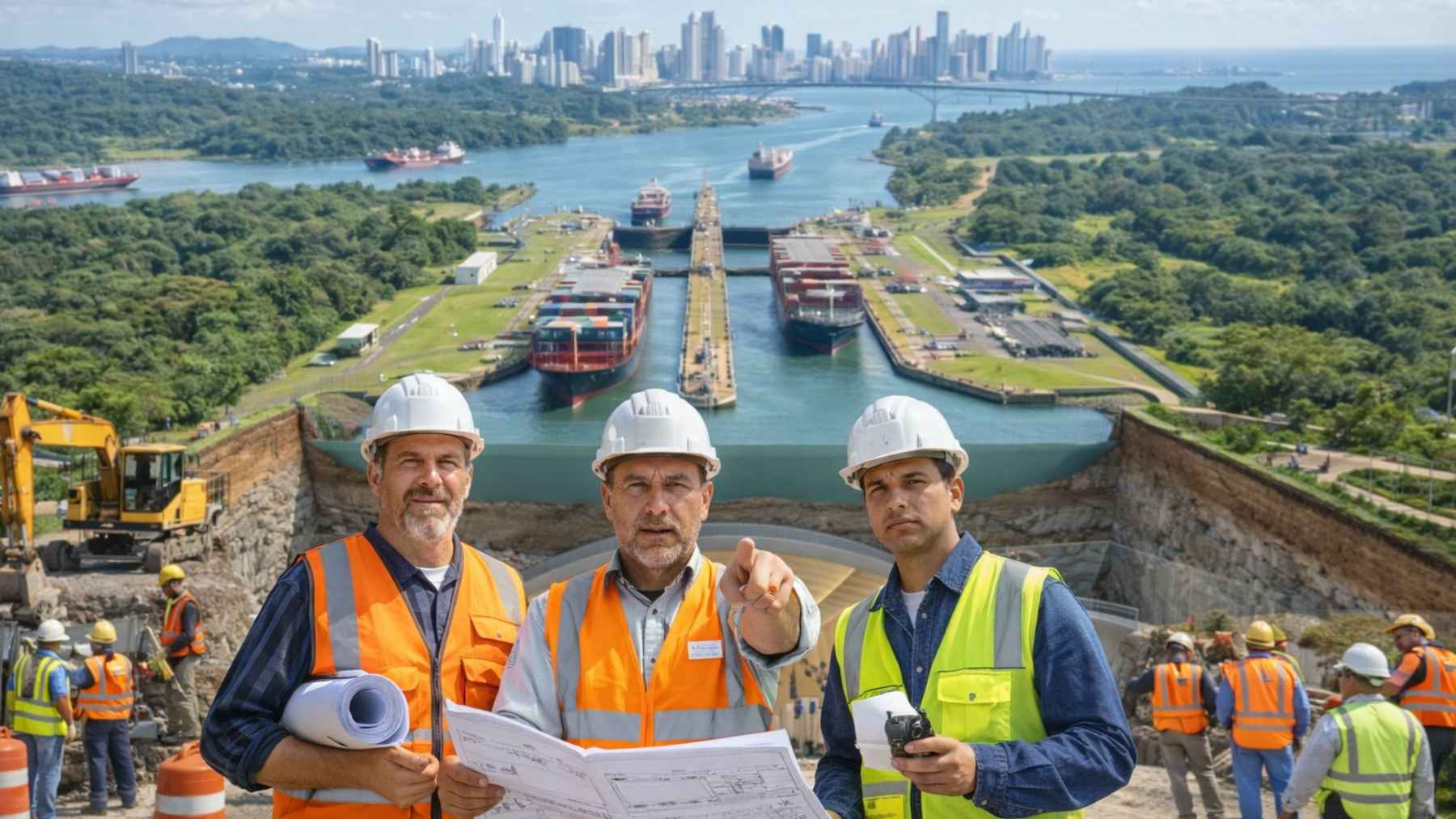
From rare rogue wave to daily risk for shipping
In January twenty twenty four, during what forecasters labeled an ordinary storm season, a European Earth observation satellite watched a patch of the central Pacific suddenly light up with extreme wave readings. Around the same time, a container ship on a busy route between Asia and the west coast of the United States reported mysterious bow damage and the loss of several stacks of boxes. The captain later described hearing an impact like an explosion and seeing what looked like a solid wall of water rise out of the dark.
Shipping investigators have logged several events in the last five years in which hundreds of containers vanished in rough but supposedly manageable weather. Satellite archives now show that many of those routes cut across narrow corridors where local wave height briefly spiked well above the surrounding sea. For crews, there is little warning when a single wave comes in at twice the expected height and lifts a heavily loaded bow clear of the water before slamming it back down.
Some operators now feed near real time space data into routing software that overlays good old wind and swell charts with layers that highlight wave anomalies. On a modern bridge, officers are taught to watch not only the average forecast but also the variability of the sea and any alerts for rogue wave hot spots. Choosing a track that adds ten hours to a crossing can feel painful in the moment but costs less than replacing a damaged bow or a line of lost freight.
An ocean that foams, mixes, and heats up in new ways
A single thirty five meter wave is more than a threat to a ship’s hull. Steep waves churn the surface, throw up plumes of spray, and create patches of dense foam where heat, water vapor, and gases pass more quickly between ocean and atmosphere. Climate scientists note that more than ninety percent of the excess heat from human made warming ends up in the ocean, and that ocean heat content has set record after record in recent years.
Satellite analyses of significant wave height now extend over two decades and show how extremes cluster in specific belts of the Pacific, often where surface waters have warmed by one or two degrees Celsius and where huge warm anomalies have recently spread across the North Pacific. In these zones, strong winds, shifting currents, and steep waves all work together, reshaping how the ocean stores and releases heat. That energy can later reappear as stronger storms, more persistent marine heatwaves, or heavier coastal rainfall.
Onshore, none of this feels abstract for long. Long period swells born in distant mega storms can arrive days later as powerful surf and unusually high runup that erode beaches, batter harbor structures, and complicate rescue operations that looked routine on paper. The same satellite systems that spot extreme waves offshore are also used to monitor rising sea levels and to refine coastal flood maps that underpin everything from port upgrades to insurance premiums.
How captains and coastal services are trying to adapt
Anyone steering across the Pacific today is really sailing through a moving cloud of data. Route planners advise crews to treat certain model signatures as red flags, such as a sudden jump in local wave height combined with strong opposing currents and a shift in wind direction. When they see that pattern, captains are encouraged to slow down a little, secure deck cargo again, or choose an alternate track that threads between the worst affected zones.
These decisions ripple quickly into daily life on land. Extra time at sea means more fuel burned and more days until the containers holding new phones, car parts, or supermarket goods reach the dock. At the same time, engineers eye the restless sea as a potential source of clean power, testing new wave energy devices and thermal energy systems that try to harvest energy from the very swells that challenge ships.
Rescue agencies and coastal authorities are also adjusting how they train and plan. Exercises increasingly simulate sudden spikes in wave height rather than just long, steady storms, so that crews practice what happens when a seemingly calm rescue window turns ugly in minutes. Coastal communities that already deal with king tides, heavy rain, and sea level rise now have to consider the added punch of extreme swells that were barely on the radar a generation ago.
Mega waves as a warning, not only a spectacle
Satellites do not shout when they see something new; they quietly stack line after line of numbers until a pattern appears. The pattern now emerging in the Pacific suggests that extreme waves are less rare than design codes and old rule of thumb charts once claimed, in a basin that already hides buried fragments of lost crust and restless undersea volcanoes. In simple terms, the ocean seems to be adding new moves to its repertoire faster than our maps and safety margins keep up.
That is the unsettling part. Thirty five meters is dramatic, but the real shock is how quickly the range of plausible extremes is shifting as the climate warms and the Pacific grows more capricious. An event that once felt like a once in a century freak now looks closer to a once in a decade risk along some shipping corridors and storm tracks.
If you are reading this on a phone or laptop, chances are that many of the components it contains crossed the Pacific on a vessel that relied on wave forecasts and satellite feeds. The same is true for much of the food, fuel, and manufactured goods that keep modern life running. Mega waves turn that distant blue expanse into a more immediate question for policy makers, ship designers, and coastal residents who need tomorrow’s safety rules to match today’s ocean.
The main study behind these recent 35 meter wave detections was published in the journal Proceedings of the National Academy of Sciences on the PNAS website.