After a brutal winter storm left much of the United States shivering under Arctic air, forecasters are now watching the setup for another coastal system that could bring fresh snow to Philadelphia and other Northeast cities this coming weekend.
If that happens, it will test not only shovels and snowplows but also a power grid and waterways already under stress.
Philadelphia snow forecast and Northeast winter storm setup
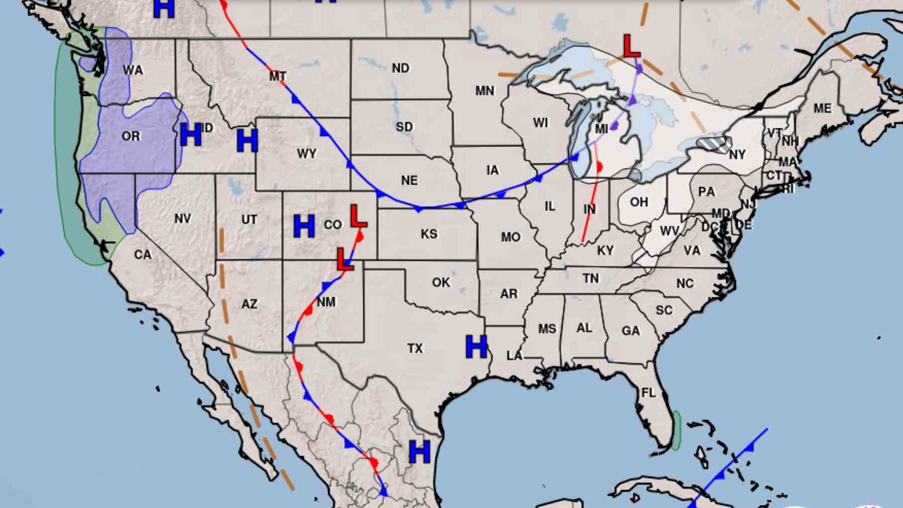
In its latest extended outlook, the National Weather Service Weather Prediction Center flags a strong disturbance dropping out of Canada later this week that may form a coastal low near the Atlantic seaboard, while a deep pool of cold air remains locked over the eastern half of the country. That pattern increases the chances of snow over rain along parts of the Interstate 95 corridor if the storm tracks close to shore.
Meteorologists caution that key details remain uncertain, including the exact timing, strength, and path of the low pressure system. European based models currently hint at heavier impacts for the Mid Atlantic, while the American model keeps the worst of the storm farther offshore. For now, the Philadelphia forecast office is stressing the persistent dangerous cold and only describing the potential weekend storm as a concern rather than a guarantee.
Winter storm impacts on travel, infrastructure, and safety
If a second coastal storm does form, it will arrive on the heels of a sprawling system that already buried parts of the East in snow and ice and plunged temperatures far below normal. That earlier storm brought widespread outages, grounded thousands of flights, and left millions dealing with treacherous roads and frozen pipes from Texas to New England.
Energy demand, heating costs, and the PJM power region
The environmental fallout is not limited to snowbanks. Prolonged cold pushes heating demand sharply higher, driving up natural gas use and electricity consumption across major grids in the Mid Atlantic and Northeast.
Recent data show winter peak demand in the PJM power region climbing toward record levels, while power plant outages and tight gas supplies have already sent wholesale prices soaring. For many households, that shows up as a painful winter electric or gas bill rather than a chart on an energy report.
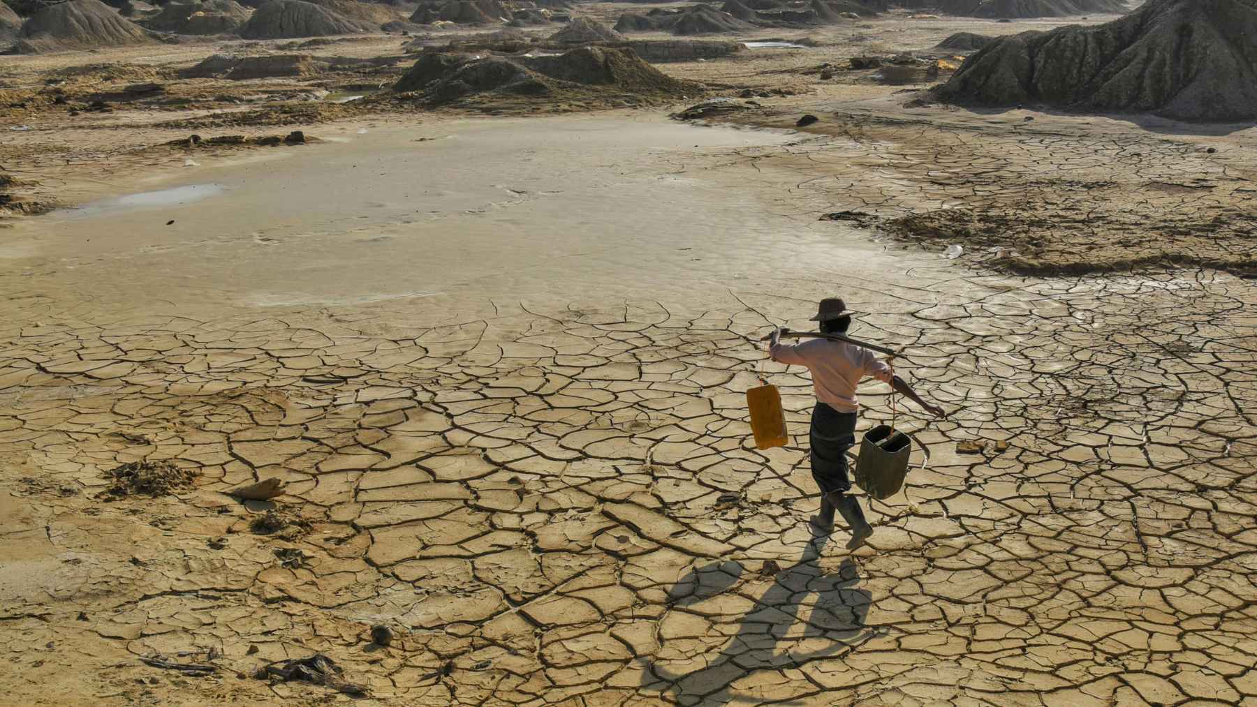
Road salt pollution and rising chloride in streams
On the ground, each new round of snow also means another round of road salt. Studies by the United States Geological Survey and other researchers have documented a steady rise in chloride levels in urban and suburban streams across the northern states, with some waterways reaching concentrations that threaten freshwater fish and invertebrates.
Local monitoring in the Delaware River basin and around Philadelphia has found that winter salt use can linger in groundwater and tributaries long after the plows are parked for spring.
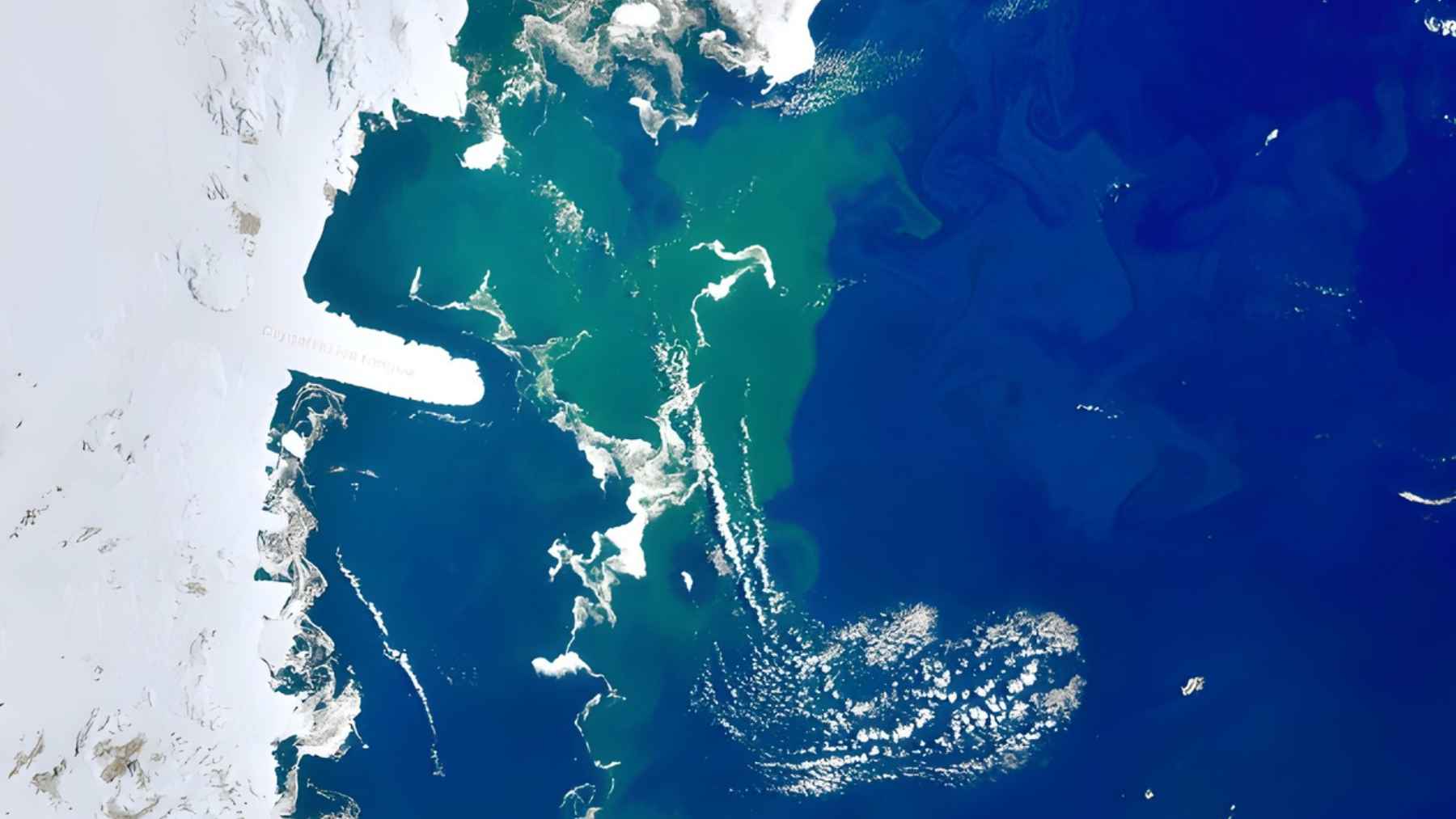
Climate change and extreme precipitation in winter
So where does climate change fit into a week that feels like the inside of a freezer. Scientists emphasize that individual storms do not prove or disprove global warming, yet a warmer atmosphere holds more moisture, which can feed heavier precipitation of all kinds, including intense snow when air near the surface stays below freezing.
NOAA analyses show that as oceans and air temperatures climb, the background conditions that support extreme precipitation events are strengthening in many regions.
In practical terms, that means residents along the Northeast corridor may need to prepare for a future where long quiet spells with little snow are punctuated by short, disruptive bursts of very heavy storms. For this week, experts advise keeping an eye on updated forecasts, using salt sparingly on sidewalks and driveways, checking on vulnerable neighbors, and being mindful of energy use while the cold hangs on.
The official statement was published on National Weather Service Philadelphia Mount Holly.