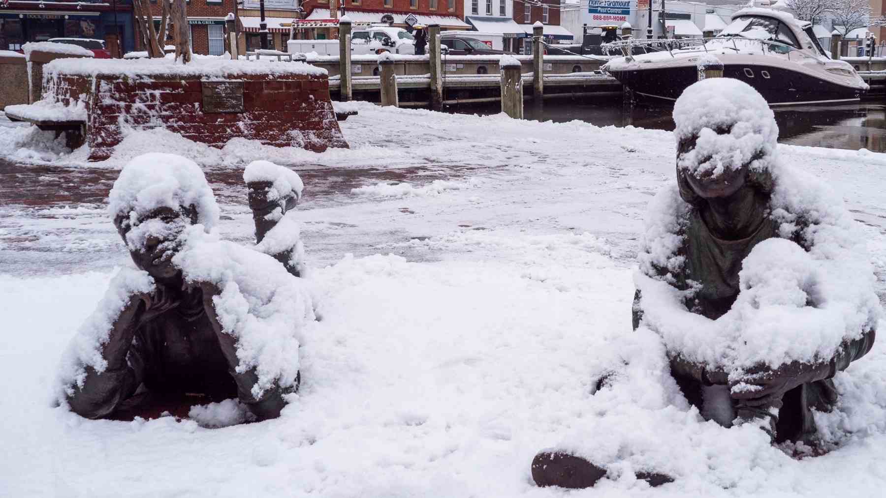
Shovels are still leaning by the front door, yet Maryland is again asking if another major snowstorm is on the way this week. For now, forecasters say a repeat of last weekend’s storm is unlikely, although a coastal system late Saturday into Sunday remains on the radar. The first storm delivered half a foot or more of snow in many communities and arrived alongside a statewide emergency declaration.
Overnight weather models briefly showed the new system tracking close enough to pound the Mid Atlantic again. New guidance has shifted it farther out over the Atlantic, turning a possible direct hit into more of an out to sea scenario, according to local coverage that now keeps the risk in a “monitoring” phase and mentions only a limited threat for snow.
In its latest forecast discussion, the National Weather Service Baltimore Washington office highlights three messages, dangerous cold, mountain snow, and “Monitoring the potential for a coastal system this weekend.” Meteorologists describe a classic pattern for big Mid Atlantic storms, yet ensemble guidance also shows high odds that any coastal low slips east before reaching land.
To a large extent, this winter drama fits a wider climate pattern. Recent assessments show Mid Atlantic winters trending warmer and often less snowy overall, even in La Niña years, although sharp cold snaps and heavy events still appear when the pattern lines up.
One analysis of East Coast nor’easters finds that the strongest storms now pack higher peak winds and more destructive power as oceans warm. For Marylanders, that likely means fewer snow days but more high impact storms, so the smart move this week is to watch official forecasts, not viral maps, and get ready at home.
The official statement was published on National Weather Service Baltimore Washington office.
