Deep under the Pacific, almost eight kilometers below the waves, a Chilean state geologist has just made history. Paola Peña, a marine geomorphologist at the Servicio Nacional de Geología y Minería (Sernageomin), has become the first woman representing the Chilean State and only the second woman in the country’s history to descend into the Atacama Trench.
Her dive reached 7,592 meters during the Joint China Chile Atacama Trench Expedition 2026, known as JCATE 2026, a mission designed to study where some of the world’s largest earthquakes and tsunamis are born.
In a single day, she helped turn one of Earth’s darkest, least accessible places into a little more familiar territory for scientists and, eventually, for everyone living along Chile’s coast.
Eleven hours inside a deep sea capsule
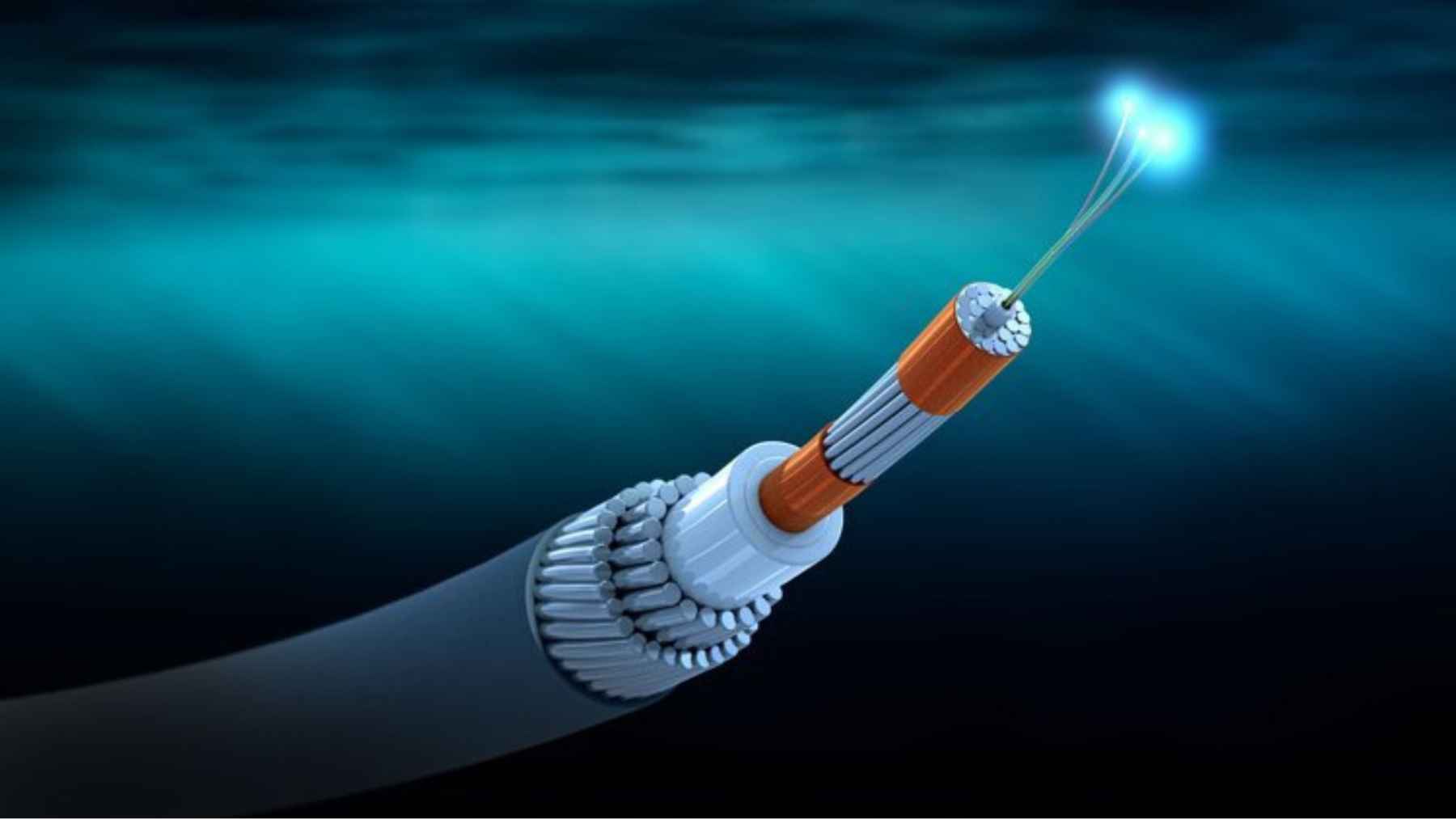
The entire operation lasted about 11 hours from launch to recovery. Roughly six of those hours were spent sitting on the seafloor in the hadal zone, the ultra-deep environment found only inside the world’s ocean trenches.
From inside the crewed submersible, Peña and her colleagues slowly surveyed the Atacama Trench floor, mapping fractures in volcanic rocks on the oceanic plate and collecting sediment cores. These samples are a rare prize; working at these depths usually requires robots, not people, because pressure is more than 750 times what we experience at sea level.
Peña described the scene outside as “absolute calm,” with enough visibility to see trails left by seafloor creatures and cracks running through the dark rocks.
Inside, conditions were cramped and demanding: three people sharing a small, spherical cabin at about 68 degrees Fahrenheit, bending over side and floor windows to watch the bottom while constantly shifting to avoid muscle cramps.
Why the Atacama Trench matters for everyday life
Although this sounds far removed from daily life, the science matches up directly with the risks people face along Chile’s coast and across the Pacific. The Atacama Trench is part of the huge subduction zone that runs just offshore, where the oceanic plate dives beneath the continent and stores the strain that eventually drives major earthquakes.
By reading the shapes and fractures of volcanic rocks and the layers of sediment on the seafloor, Peña’s team hopes to better understand how the margin deforms when plates lock and slip.
Over time, that kind of detailed map can refine models of how energy builds and releases in great earthquakes, the type that can send tsunamis racing across the ocean toward ports, fishing towns, and beach neighborhoods.
In a country where many people still remember racing for higher ground during the 2010 Maule earthquake and tsunami, this kind of research is not abstract. It is part of building better hazard maps, stronger building codes, and smarter evacuation plans that could one day save lives.

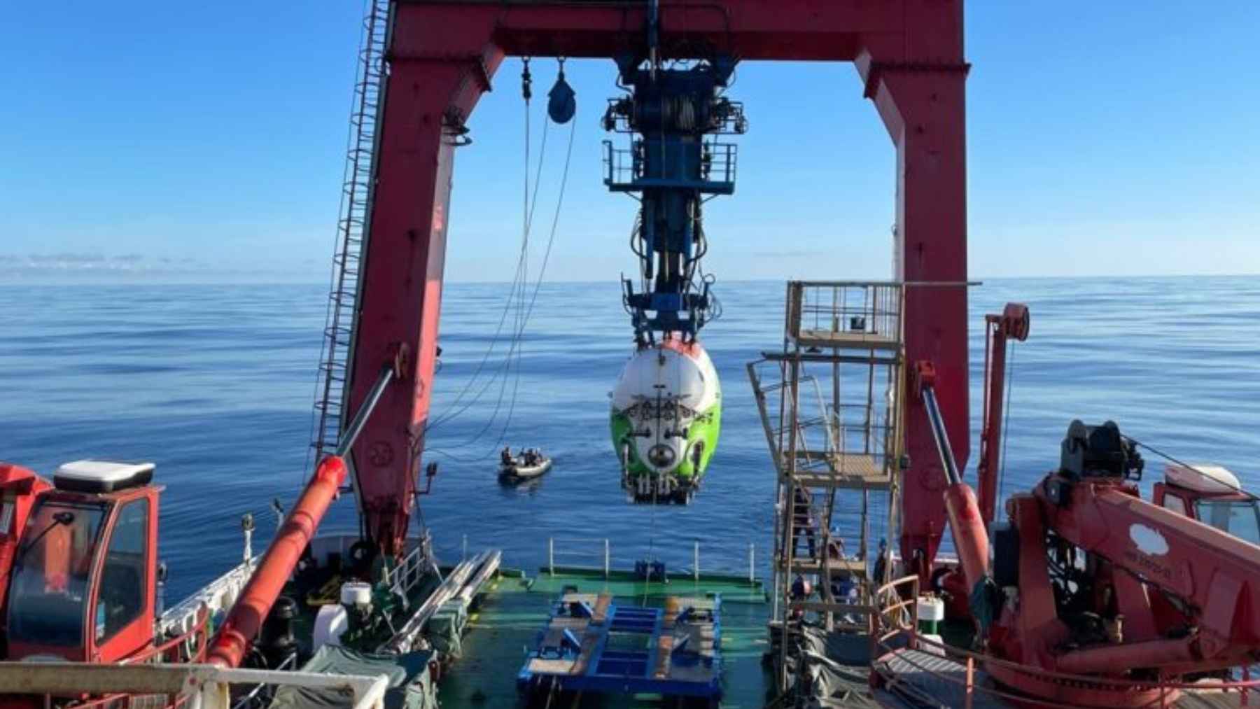
Paola Peña aboard a research vessel prior to her 7,592 meter descent into the Atacama Trench to study earthquake and tsunami origins.
A binational mission in the hadal zone
JCATE 2026, the Joint China Chile Atacama Trench Expedition, is a collaboration between the Instituto Milenio de Oceanografía at the Universidad de Concepción, the Institute of Deep Sea Science and Engineering of the Chinese Academy of Sciences, and Chile’s geological service Sernageomin.
Together, they are using some of the most advanced ships and crewed submersibles in the world to explore a stretch of trench that until recently was almost entirely unmapped.
The mission’s first phase has included a series of deep dives, including previous descents by Chilean scientist Valeria Cortés and other researchers. Peña’s turn added a new piece to that puzzle by focusing closely on the morphology of the trench floor and the patterns of rock breakage that record the forces acting between the plates.
For Chinese scientists, the expedition is also a way to expand their hadal research program, testing technology like the Fendouzhe submersible in a very different trench system from those in the western Pacific. For Chilean institutions, it is a chance to couple cutting-edge ocean technology with local geological expertise rooted in decades of studying earthquakes onshore.
Public science and Chilean scientific sovereignty
Inside Chile, Sernageomin’s leadership sees Peña’s dive as more than a technical achievement. It is also a symbol of what it means for a country to build its own scientific capacity instead of relying only on foreign data.
Mauricio Lorca, Sernageomin’s acting national director, has called the descent a “triumph of public science,” emphasizing that having state scientists aboard means Chile is generating its own data on geologic hazards.
The information gathered during the dive will feed directly into the agency’s work on tsunami and earthquake risk, supporting its core mission of protecting the public.
The mission is not over yet. A second phase of JCATE 2026 will include a dive by Andrés Veloso, head of Sernageomin’s Marine and Coastal Geoscience Program, who will focus even more on the structural geology of the continental margin. His work aims to link what happens eight kilometers down to the faults and deformations mapped along the Chilean coast and inland.
From abyss to shoreline
For most people, the idea of descending into a cramped sphere to sit for hours on the seafloor sounds like science fiction. For Peña, it was a carefully planned piece of fieldwork in a place that just happens to be under almost eight kilometers of water.
The sediment she helped collect will be studied in laboratories for months and years to come. Combined with seismic data and future dives, it will help scientists piece together how the Atacama Trench sculpts Chile’s coastline over geologic time and how it might behave during the next great earthquake.
At the end of the day, efforts like JCATE 2026 are about turning extreme exploration into practical tools. The more we learn about the hadal zone off Chile, the better prepared coastal communities will be when the subduction zone that created this trench eventually shifts again.
The main press release has been published by the Servicio Nacional de Geología y Minería de Chile.