For decades, many scientists assumed that rivers were the main sculptors of submarine canyons, the deep valleys that cut into the ocean floor near continents. A new global analysis published in June 2025 points instead to the steepness of the seafloor as the best clue to where these canyons form.
Read More: {{post_title link:post}}
These canyons act like funnels, moving huge amounts of sand, mud, and organic material from shallow waters into the deep sea. Better maps of where canyons are likely to develop could sharpen climate projections and help protect undersea infrastructure.
A hidden landscape of valleys in the deep ocean
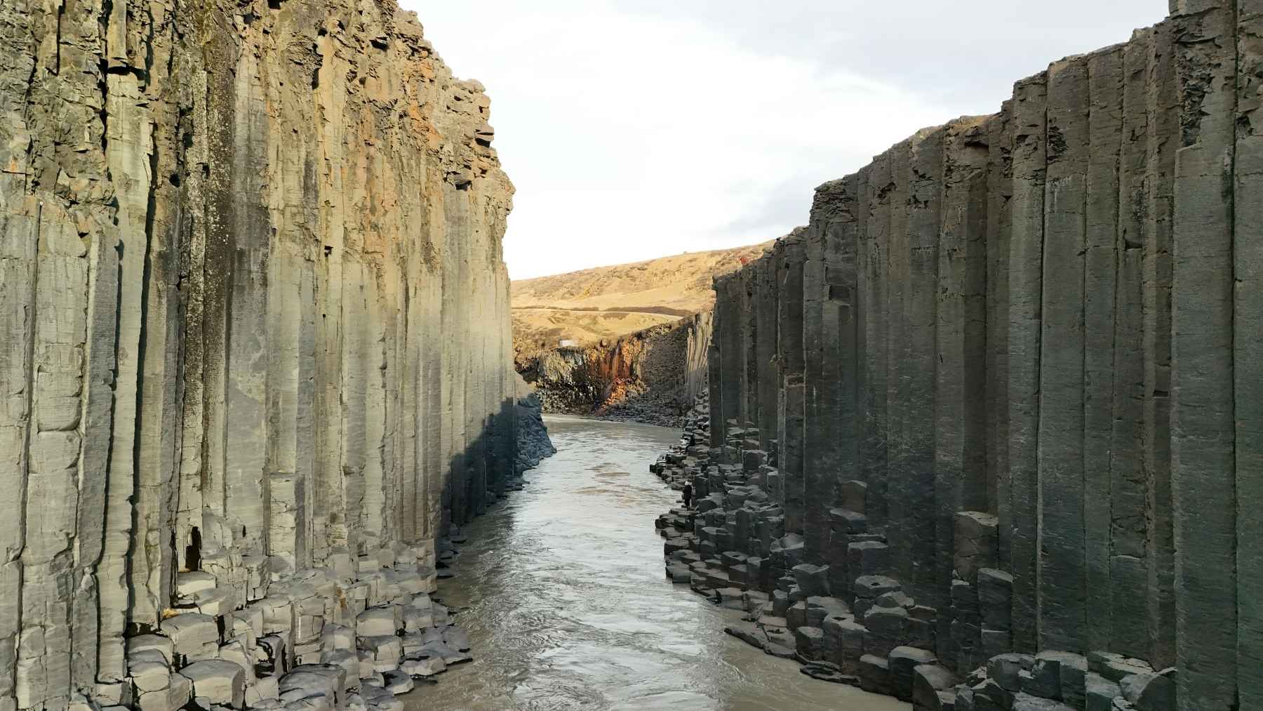
Submarine canyons are long, steep valleys carved into the underwater edge of continents. Some cut so deep that they rival famous canyons on land, but they are hidden beneath thousands of feet of water.
Read More: {{post_title link:post}}
These features sit along the continental margin, where a shallow seafloor platform drops off into the deep ocean. Over time, they guide sediments, nutrients, and carbon downhill, reshaping seafloor habitats and storing material far from the surface.
A global map test that challenges an old assumption
Geoscientist Anne Bernhardt at Freie Universität Berlin teamed up with Wolfgang Schwanghart at the Institute of Environmental Science and Geography at the University of Potsdam. They used a map-based, statistical approach to compare the locations of more than two thousand canyons with sixteen possible drivers, from earthquakes to the pull of gravity on steep slopes.
Read More: {{post_title link:post}}
The goal was simple: to identify the factor that best predicts where canyons begin to form. In many cases, a river can be nearby and a canyon still does not form, while other coastlines with fewer major rivers can be densely cut by canyons. Because the team compared patterns on a map, the work highlights strong statistical links but does not detail the specific erosional processes or the timeline of how each canyon formed.
Why steep slopes make canyons more likely
The study points to the continental slope as the main stage for canyon birth. The continental slope is the steep drop that begins after the shallow continental shelf, and steeper slopes were linked with more canyons.
Read More: {{post_title link:post}}
A steep slope is also an unstable slope. Gravity can trigger underwater landslides and collapses that scrape the seafloor and open the first grooves, which later deepen as more sediment moves through them.
Over long spans of time, plate movements can push parts of the seafloor up or pull them down, and cooling ocean crust can slowly sink and change the angle of the slope. A report from the U.S. Geological Survey on California’s margin also describes how faults can steer canyon paths and help explain why many canyons are not closely tied to large rivers.
Rivers can turbocharge growth during low sea levels
The new analysis does not say rivers are irrelevant. Instead, it suggests rivers usually matter most after a canyon is already established and has reached close to the coast, where it can intercept a steady stream of sand and mud.
Read More: {{post_title link:post}}
Sea level has shifted many times in Earth’s history, changing how close river mouths sit to the shelf edge. During ice ages around twenty thousand years ago, lower sea levels would have pushed shorelines outward, letting more rivers deliver sediment toward canyon heads and speed up canyon growth.
The researchers also describe a competitive effect in canyon networks. When one canyon taps into a steady sediment supply, it can grow faster and leave less material for nearby canyons to expand.
A carbon pathway with climate consequences
Submarine canyons are more than a geology story because they move carbon as well as sand. When organic material from land reaches the sea, it can be swept into deep water and buried in seafloor sediments, keeping that carbon out of the atmosphere for very long periods.
Read More: {{post_title link:post}}
A 2024 review in the Annual Review of Marine Science estimates that turbidity currents, fast underwater avalanches of sand and mud, bury between about 62 million and 90 million tons of land-based carbon each year. The same review notes that burial rates can increase when sea levels are lower and more rivers connect directly to canyon systems.
That is why a better picture of canyon distribution could feed into climate modeling. If slope is a key predictor of where canyon networks are most common, it may also help identify where carbon is most likely to be routed quickly into the deep ocean.
What this could mean for offshore infrastructure and safety
Turbidity currents are powerful enough to be a practical hazard, not just a scientific curiosity. A 2017 study that monitored long-lasting flows in the Congo Canyon warned that these events can threaten oil and gas pipelines and the global network of seafloor cables that carries most of the world’s internet and data traffic.
Read More: {{post_title link:post}}
For planners, the message is that risk starts with the shape of the seafloor. Predicting where steep continental slopes are most likely to host canyon clusters can guide survey work, cable routes, and deep-water construction away from the most active corridors.
The main study was published in Science Advances.
Most read
- US scientists poured 16,500 gallons of lye into the Gulf of Maine and dyed the water bright pink to track it, the first federally approved try at reversing ocean acidity
- Soviet scientists released giant red king crabs into the Barents Sea in the 1960s to build a fishery, but decades later those invaders are still changing the seafloor
- New Orleans is collecting thousands of used Christmas trees and dropping them from helicopters to slow the loss of land, which has already exceeded 5,000 square kilometers
- The U.S. will pay up to $65 million to leave Colorado River water in Lake Mead, and Hoover Dam explains why
- Divers found grouper and snapper massing around 69 steel wind turbine foundations off Taiwan, because on a flat sandy seabed that is the only thing that looks like a cliff