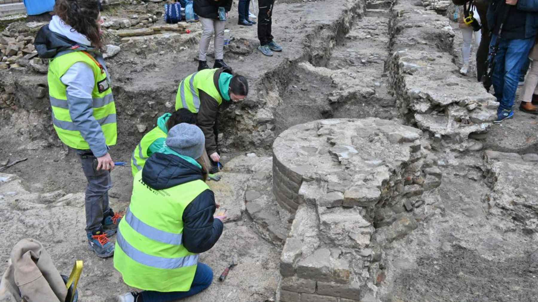
When a NASA research jet flew over northern Greenland in April 2024, scientists expected to see smooth layers of ice beneath them. Instead, their radar picked up the sharp lines of a buried structure roughly 100 feet below the surface, like an X-ray revealing bones inside the ice sheet.
That surprise turned out to be Camp Century, a long-abandoned United States military base carved into the Greenland Ice Sheet during the Cold War. The accidental rediscovery gives scientists a fresh look at a secret installation and a reminder that old choices about nuclear technology and waste still echo in a warming climate.
A Cold War base frozen in time
Camp Century, often called the “city under the ice“, was built in 1959 by the U.S. Army Corps of Engineers in northwest Greenland. Engineers cut a grid of tunnels into the near surface ice and filled them with prefabricated buildings for sleeping quarters, labs, a kitchen, a chapel, and a small library.
At its peak, the base could house around 200 people and was powered by a portable nuclear reactor known as PM 2A. Officially it was a research station, but it also served as a test bed for Project Iceworm, a secret plan to hide hundreds of nuclear missiles beneath the Arctic ice, until ice movement forced the military to shut the camp in 1967.
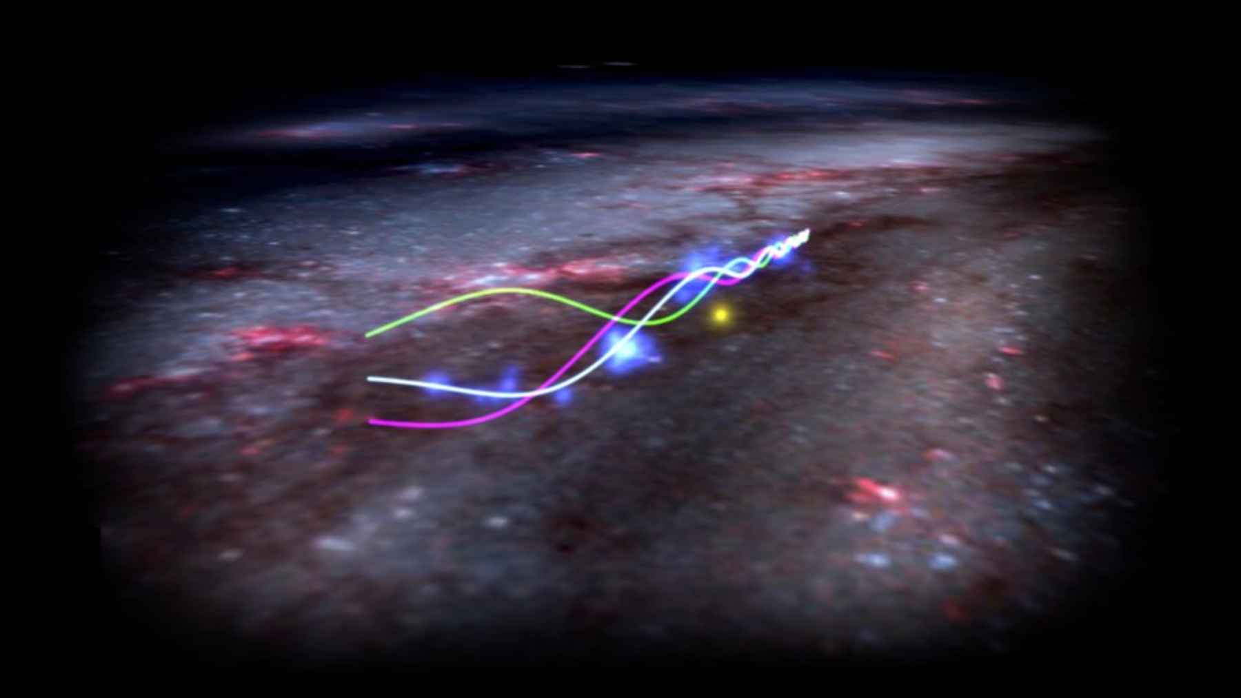
How NASA’s radar rediscovered Camp Century
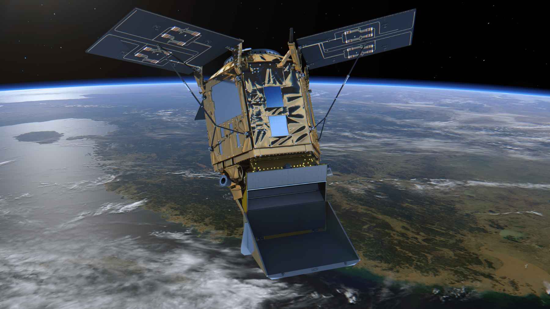
More than half a century later, scientists from Jet Propulsion Laboratory climbed aboard a Gulfstream III aircraft to test a radar system called UAVSAR. Their goal was to map the internal layers of the Greenland Ice Sheet and measure how thick the ice is in different places so they can better predict future sea level rise.
As the jet flew about 150 miles east of Pituffik Space Base, the radar sent pulses of radio waves into the ice and listened for the echoes. “We were looking for the bed of the ice and out pops Camp Century. We did not know what it was at first,” explained Alex Gardner, after his colleague Chad Greene matched the strange patterns in the data with historical maps of the base.
Buried nuclear waste in a changing Arctic
When Camp Century closed, the nuclear reactor was removed, but most of the physical infrastructure stayed behind along with fuel, wastewater, and low-level radioactive material.
A 2016 study led by glaciologist William Colgan estimated that the site holds about 200,000 liters of diesel fuel and roughly 24 million liters of wastewater, including sewage and other contaminants, all frozen in place inside the ice sheet.
That research warned that continued warming could eventually switch the local area from net snow gain to net ice loss, which would bring buried debris and pollutants closer to the surface.
More recent climate monitoring suggests that the waste is unlikely to be exposed before the end of this century, although models still show the region shifting toward more melt and percolating water in the firn, the compacted snow near the surface.
A warning sign for sea level and daily life
At first glance, a hidden Cold War base in remote Greenland might feel very far from daily concerns like rising electric bills or flooded streets after heavy rain. Yet the same radar tools that rediscovered Camp Century are also key to understanding how fast the Greenland Ice Sheet is thinning and how much global sea level could rise in coming decades.
To make solid projections, scientists need precise maps of ice thickness from the surface all the way down to the bedrock below. Gardner notes that without this information, estimates of future sea level rise remain fuzzy, which makes it harder for coastal communities to plan new seawalls, drainage systems, or building rules that keep people safe.
That chance detection of Camp Century captured both a ghost of the nuclear age and a critical data set for climate models that will shape how societies adapt to a warming world.
The main press release has been published by the NASA Earth Observatory.