Back in March 2011, a magnitude 9.1 earthquake off northeast Japan sent walls of water crashing into coastal towns and power plants. The tsunami killed tens of thousands of people and crippled the Fukushima Daiichi nuclear power plant, a disaster that still shapes evacuation drills and sea wall debates today.
Many scientists have spent years asking a simple question: why did that wave grow so huge and travel so far inland, even though the quake was already well studied?
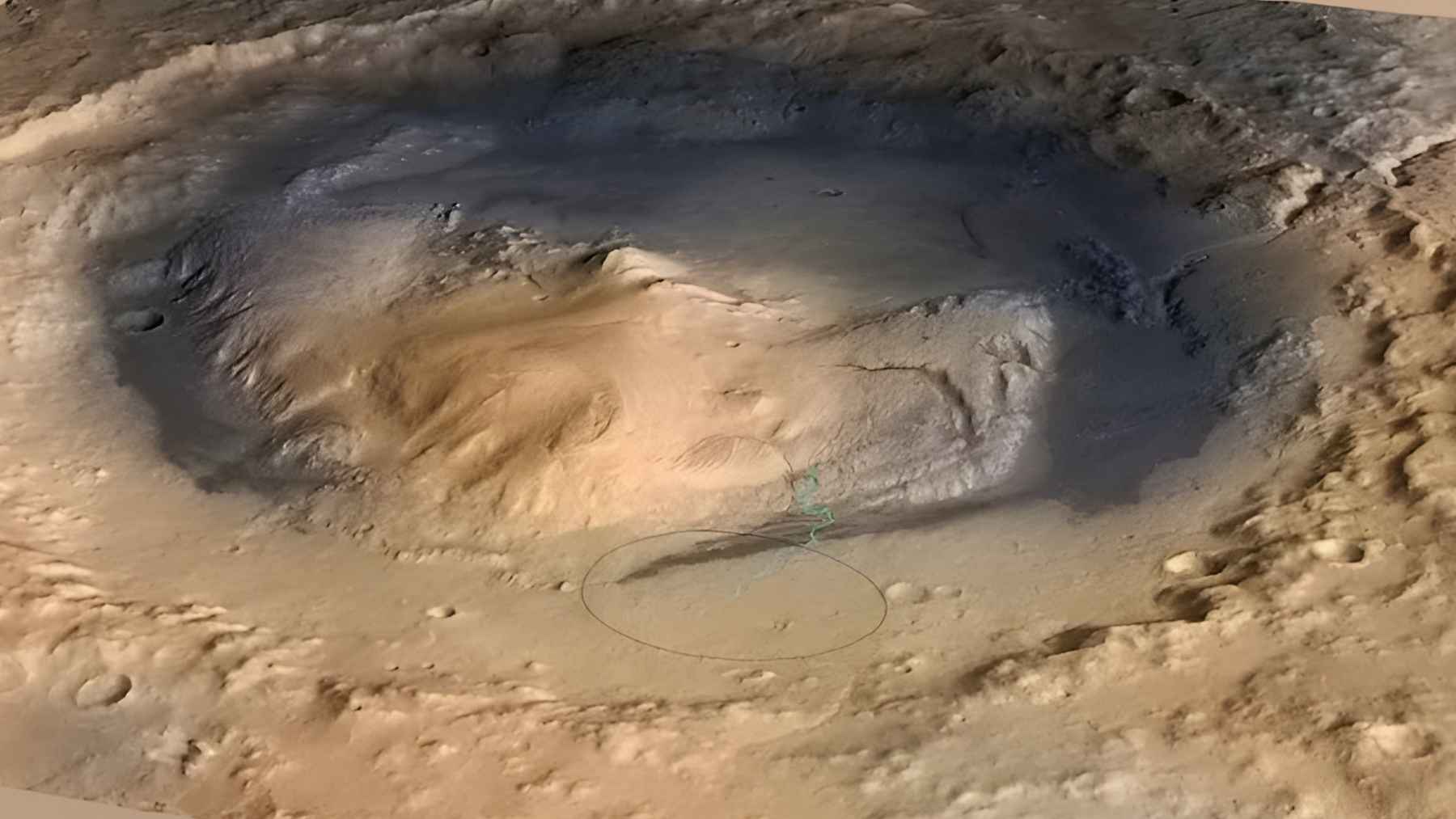
In 2024, an international team sailed on the deep sea drill ship Chikyu to the Japan Trench and drilled almost eight thousand meters into the ocean floor above the fault that broke in 2011. Their cores show that the rupture raced along a razor-thin layer of ancient clay that was far weaker than the surrounding rock.
The work, led by geologist J. D. Kirkpatrick and colleagues and published in the journal Science, explains how the seafloor was able to lurch upward by roughly fifty to seventy meters and launch such an extreme tsunami.
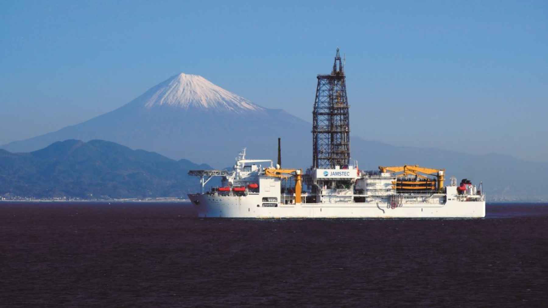
Record breaking drilling at the Japan Trench
The deep sea vessel Chikyu is operated by the Japan Agency for Marine-Earth Science and Technology and serves as one of the main platforms for the International Ocean Discovery Program. During Expedition 405, the ship lowered more than 7,900 meters of drill pipe in nearly seven kilometers of water to reach the plate boundary, setting a Guinness World Record for scientific ocean drilling.
Down at that boundary, the Pacific tectonic plate is sliding under Japan in a process called subduction. In simple terms, one huge slab of Earth is slowly diving beneath another, and the two surfaces can lock together for centuries until stress finally snaps them free in a sudden jolt.
A slippery clay layer that powered the tsunami
The new cores revealed that the 2011 rupture did not chew through a broad zone of broken rock. Instead it concentrated in a clay-rich layer only a few meters thick, made from microscopic mud particles that settled on the Pacific plate over about 130 million years before being dragged down into the trench. Associate Professor Ron Hackney from Australian National University describes that weak band as a natural tear line inside the fault where motion was most likely to start.
Because the rupture was funneled into this extremely soft, slippery material, parts of the plate boundary near the trench slipped by roughly fifty to seventy meters and pushed the seabed up by several meters in just a few seconds.

Hackney has said that this work helps explain why the 2011 earthquake broke in a way many models did not expect and why the clay can slip very easily once failure begins. That upward jump in the ocean floor was the key step that turned shaking on the seabed into a towering wall of water racing toward the Japanese coast.
Centuries of stress released in seconds
The study also supports the idea that this part of the fault had been storing energy for hundreds of years as the Pacific plate crept westward a few inches each year. Each tiny motion bent the plates a little more while the weak clay layer stayed locked, similar to a sticky kitchen drawer that resists opening even as you keep tugging on the handle.
When that stored stress finally overwhelmed the clay, friction dropped sharply and the fault slipped almost freely, allowing the seabed to surge upward over a long stretch of the trench.
The result was a tsunami that was larger and more concentrated than many forecasts had suggested, matching what coastal communities actually saw as water poured over sea walls and into neighborhoods far behind the shoreline.
What this means for future tsunami risk
For geologists, the Japan results offer a new template for spotting other places where tsunami hazard might be unusually high. Hackney notes that there are signs of similarly soft sediments being dragged into subduction zones off regions such as Sumatra, although only future drilling will be able to confirm whether those faults hide the same kind of fragile clay layer.
In practical terms, this kind of deep ocean drilling means hazard maps can move beyond simple rules that link tsunami size only to earthquake magnitude.
Planners can start asking whether a given stretch of coast sits in front of a weak, slippery fault that might throw the seabed upward in one violent motion, knowledge that feeds directly into building codes, evacuation routes and the early warnings that tell people when to run uphill instead of toward their cars.
The main study has been published in the journal Science.