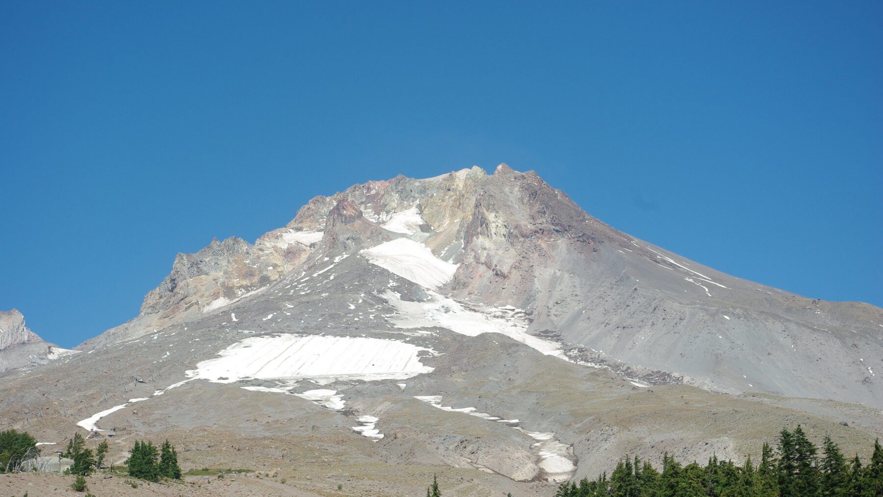
Somewhere in the region of 13 million gallons of meltwater has pooled at the foot of Coalman Glacier, high on the south side of Oregon’s Mount Hood, and the U.S. Geological Survey (USGS) says the pond is “significantly larger than in previous years.”
If it were all released in one go, the water could set off a debris flow (a fast surge of mud, rock, and water) down the White River, possibly reaching as far as the Highway 35 bridge, according to a notice posted on October 23 by the agency’s Cascades Volcano Observatory.
At the volume the observatory estimated, it wasn’t expecting populated areas to be affected. The notice kept Mount Hood at alert level NORMAL, aviation color code GREEN, so we’re not looking at a volcanic warning here.
The pond was spotted on October 6 from a helicopter out on a routine flight. It fills a basin hemmed in by Crater Rock, the summit cliffs, and Devil’s Kitchen, an earthen berm of altered rock and moraine (debris a glacier bulldozes along and leaves behind) that holds the water in.
In its October 23 notice, the observatory said that berm “appears stable.”
How much water it’s holding back hadn’t been measured by then. The USGS’s ballpark figure is “on the order of ~50,000 cubic meters,” enough to fill about 20 Olympic swimming pools. A sample collected the week before the notice also showed the water to be mildly acidic, with a provisional pH of 4, about the same as black coffee.
The terrain would funnel any flood down the southeast flank to the White River, away from the Sandy River, Timberline Lodge, and Government Camp. Still, the USGS counts the White River among the drainages where past debris flows have done the most damage to roads and bridges, alongside Newton Creek, Eliot Branch, and Ladd Creek.
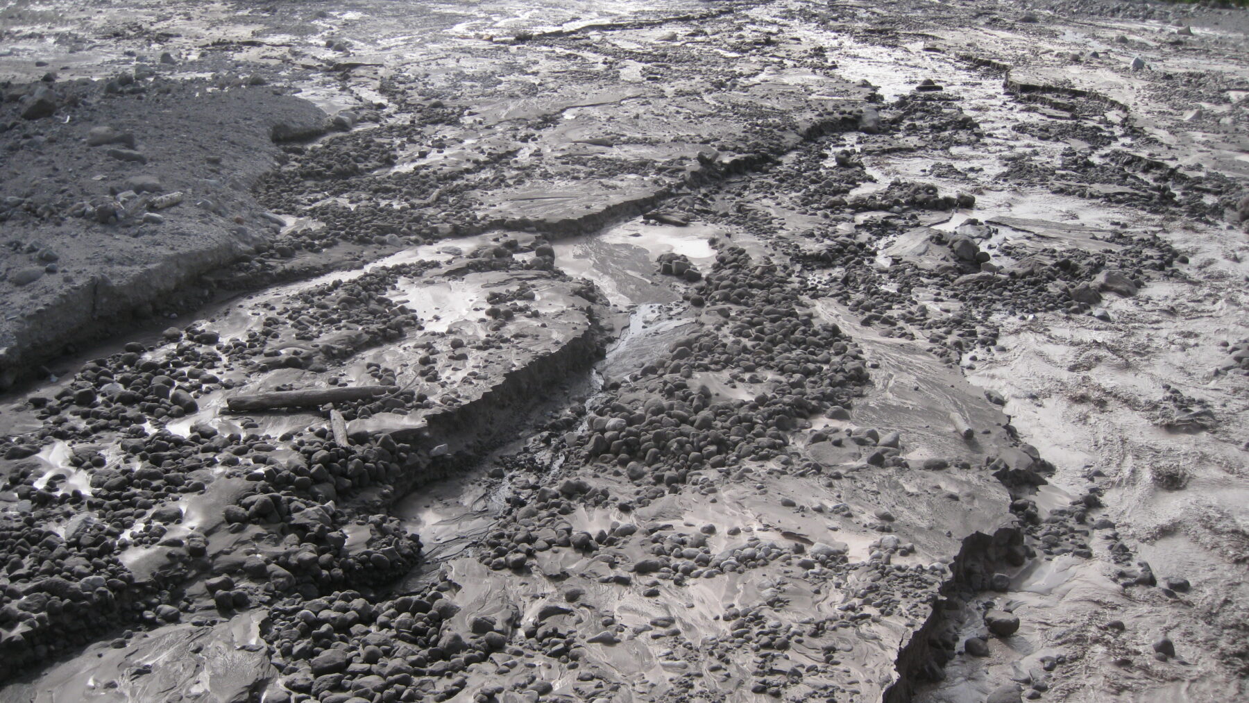
The deadliest in recent memory hit on Christmas Day in 1980, when a debris flow down Polallie Creek, on the east flank, briefly dammed the East Fork Hood River and the flood that broke through killed one person. It also wrecked some 5 to 6 miles (8 to 10 kilometers) of Highway 35, and losses added up to at least $13 million in 1980 dollars.
Seth Moran, the observatory’s acting scientist-in-charge, signed the October 23 notice, which says measurements of the pond will carry on with help from the U.S. Forest Service, the National Weather Service, and Portland Mountain Rescue. When it went out, no closures had been announced.
The pond has grown in a year when snow on Mount Hood has been thin on the ground: Oregon set record lows for snow in the 2025-26 winter, and a heat wave arrived in the summer.
By October 8, the Palmer Snowfield above Timberline Lodge, where skiers train through the summer months, was almost completely bare, reports OPB. The lodge had shut down its Palmer Express lift back on July 19, earlier than at any point in its history.
Robin Cressy, a videographer who films skiers on the Palmer, summed it up for OPB: “It looks like there’s nothing there, and pretty much there is nothing there.”
The scientists OPB consulted don’t see this year as a one-off. Oregon had 36 glaciers in the 1980s, and it’s down to 25 today.
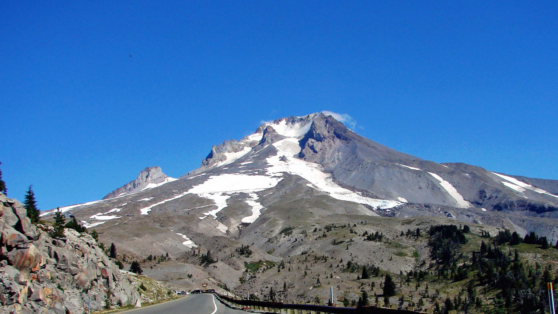
Glaciers last a long time, points out Andrew Fountain, a professor emeritus of geology at Portland State University, but in years like this one they simply shrink.
The coming months might not bring much relief. Philip Mote, a climate science professor at Oregon State University, warns that another poor snow year is possible, which would leave the observatory watching the pond below Coalman Glacier with less snow around it than usual.
“The trends are absolutely that we’re losing snowpack,” says environmental studies and geography professor Mark Carey, from the University of Oregon.