Most people grew up with a simple world map in school where Africa is one solid block of land. Now scientists say that picture is slowly going out of date. According to work highlighted by National Geographic and several research teams, the African continent is tearing along a giant scar that will one day create a new ocean between two separate landmasses.
This breakup is happening along the East African Rift, where the Somali plate is pulling away from the larger Nubian plate. The movement is incredibly slow, only a few millimeters each year, yet over tens of millions of years it will reshape coastlines, trade routes, and even the way future students learn their geography.
What It Means for Africa to Split in Two
Earth’s outer shell is made of huge rocky slabs called tectonic plates that float on a softer layer deeper inside the planet. The East African Rift marks the line where the African plate is breaking into two pieces known as the Nubian and Somali plates, which carry most of the continent and the Horn of Africa.
From the Gulf of Aden down toward Mozambique, the rift stretches for more than 3,000 kilometers like a long, sagging valley. National Geographic describes this region as a place where Africa is literally “splitting in two,” and where the smaller Somali plate will eventually pull far enough away to stand as its own landmass on a future map.
A Rift That Started Millions of Years Ago
The story did not begin with a single dramatic crack in the ground. Geological evidence suggests the breakup started around 25 to 30 million years ago in what is now northern Ethiopia, when the crust began to stretch and thin. Over time, that slow tug created deep valleys, chains of lakes, and clusters of volcanoes along the rift.
In a 2018 article for Royal Holloway, University of London, geologist Lucía Pérez Díaz explained that activity along the eastern branch of the rift became very clear when a huge crack suddenly opened in southwestern Kenya and damaged a major highway.
She notes that “every now and again something dramatic happens and leads to renewed questions about the African continent splitting in two,” even though most of the change is too slow for people to notice.
Measurements from GPS stations show that the Nubian and Somali plates are moving apart by only a few millimeters each year, roughly the speed at which fingernails grow. At that pace, experts say, the continent will take tens of millions of years to fully split, although local quakes and small surface cracks can still feel sudden to people living nearby.
How a New Ocean Could Appear
When a continent stretches, the rigid outer rock begins to tear, and hot material from deeper inside Earth rises into the gap. As that magma cools and hardens, it creates new crust, similar to what happens on the floor of existing oceans, slowly building what will one day be seafloor between two pieces of land.
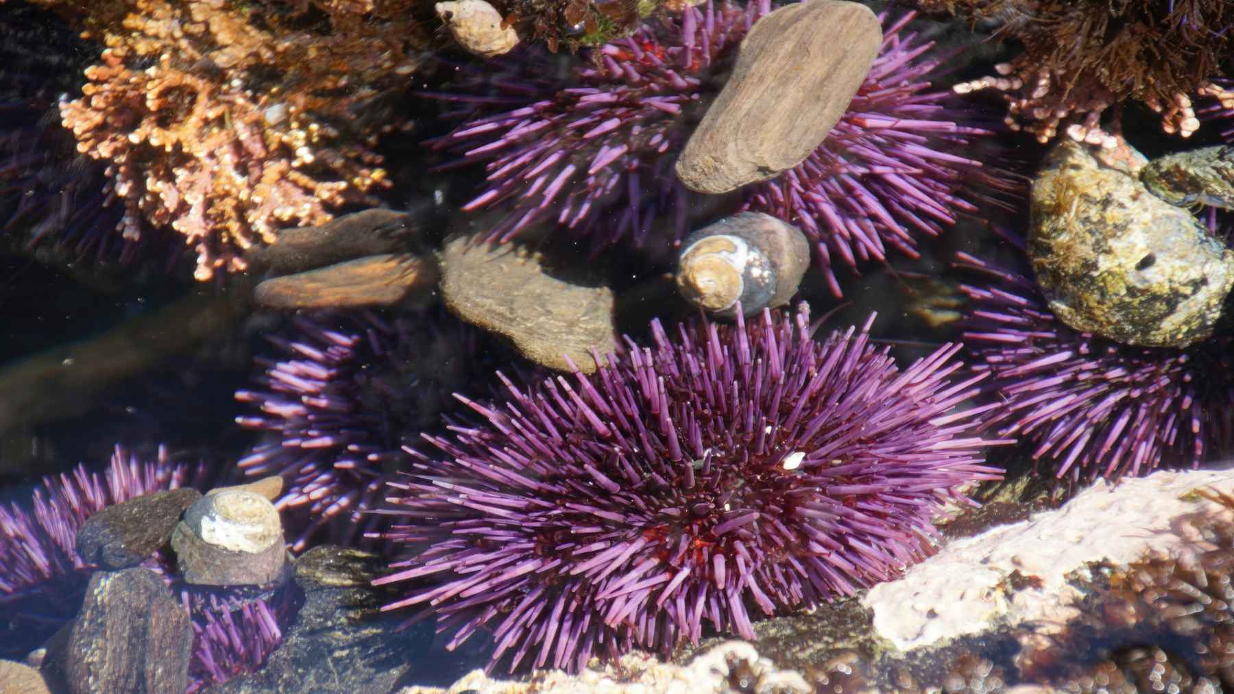
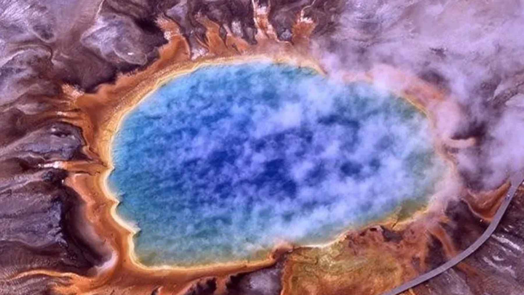
The Afar region, where Ethiopia meets Eritrea and Djibouti, is a special case because the crust there is already very thin and parts of the landscape lie below sea level. Two arms of the rift are already under water in the Red Sea and Gulf of Aden, and scientists expect that once the valley connecting them sinks low enough, seawater will rush in and start filling a brand new ocean basin between the separating plates.
Recent work published in journals such as Nature Geoscience suggests the process may be driven by rhythmic pulses of hot rock rising from deep in the mantle beneath Afar. Researchers describe this as a kind of “geological heartbeat,” a repeating surge of magma that weakens the crust and helps pull the plates apart over millions of years, not in a single disaster movie moment.
Cracks, Quakes, and Volcanoes Along the Rift
Every so often, the slow breakup produces a dramatic scene at the surface. In 2005, for example, a series of earthquakes and a volcanic eruption in Ethiopia’s Afar desert opened a fissure about 60 kilometers long in only a few days, with the ground in places dropping several meters. Satellite data from the European Space Agency later showed this event matched the kind of rapid stretching seen on the floor of young oceans.
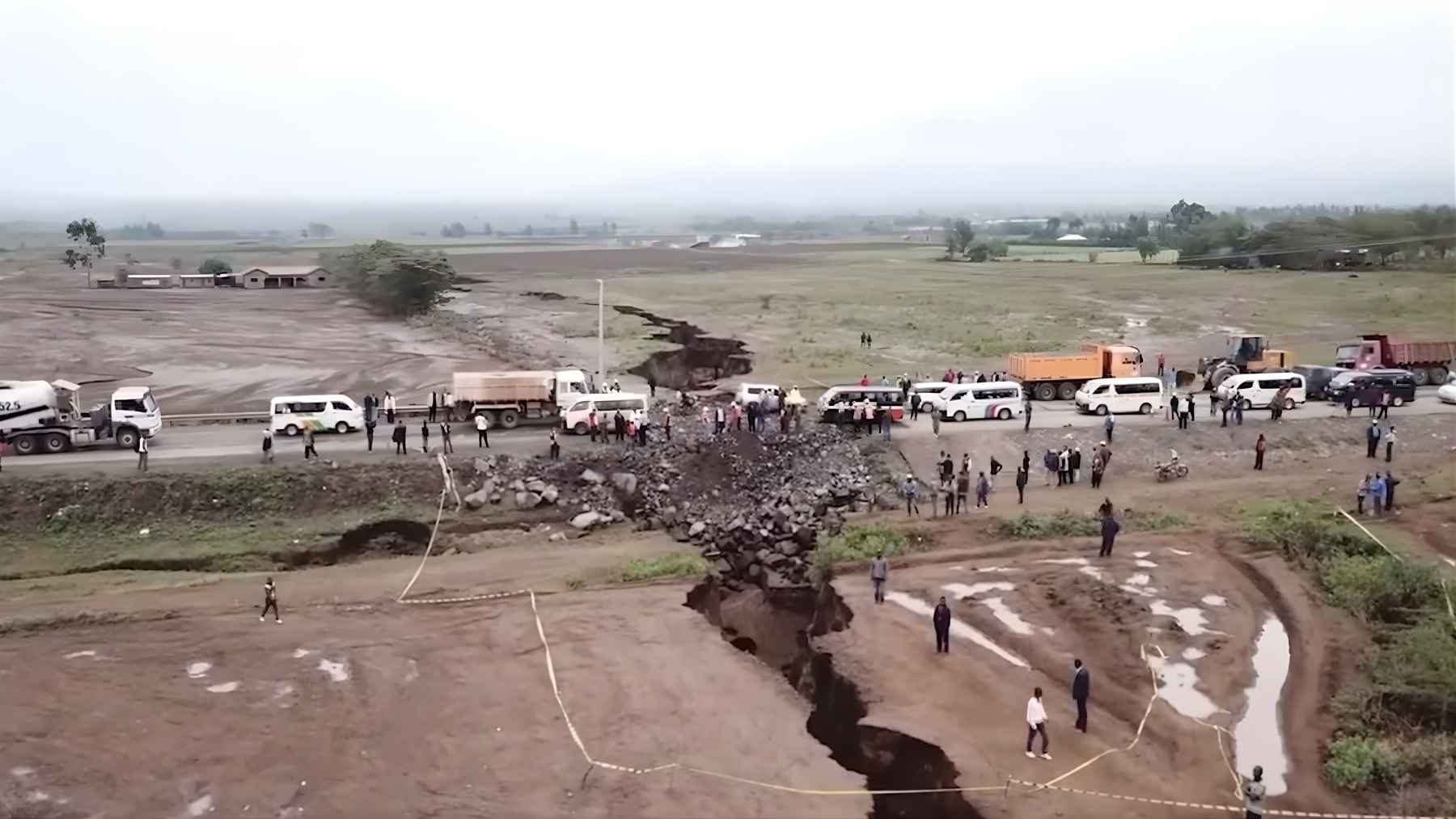
In 2018, people driving along the Nairobi Narok highway in Kenya suddenly found a section of road torn apart by a deep, muddy chasm. Geologists have since explained that heavy rain exposed and widened an older fracture linked to the rift system, a reminder that continental breakup can show up in very practical ways like damaged roads and rerouted traffic.
As the plates continue to move, the region experiences earthquakes and volcanic eruptions of varying strength, especially where magma rises close to the surface. For the most part, though, the changes shaping the future ocean floor are so gradual that local communities notice daily weather far more than the slow rearranging of their continent.
Why Scientists Are Watching the Afar Region
The Afar depression is sometimes called a natural laboratory because it lets scientists watch a continent in the act of breaking apart. Virginia Tech geophysicist D. Sarah Stamps uses precise satellite positioning and computer models to track how the ground there creeps apart over time, and she has emphasized that “the rate of extension is fastest in the north, so we’ll see new oceans forming there first.”
On average, the plates across the rift are separating by around seven millimeters each year, which means a gap wide enough for a full ocean basin will only open after many millions of years. Still, this slow motion split affects real people through earthquake hazards, volcanic risks, and eventually new coastlines that could bring ports, trade, and even geothermal power projects that might one day help lower local electric bills.
Taken together, satellite data, field measurements, and educational reports all point to the same conclusion: that Africa is slowly tearing along the East African Rift and that a new ocean will eventually flood the gap between the Nubian and Somali plates.
The official explanation of this process has been published by “National Geographic”.