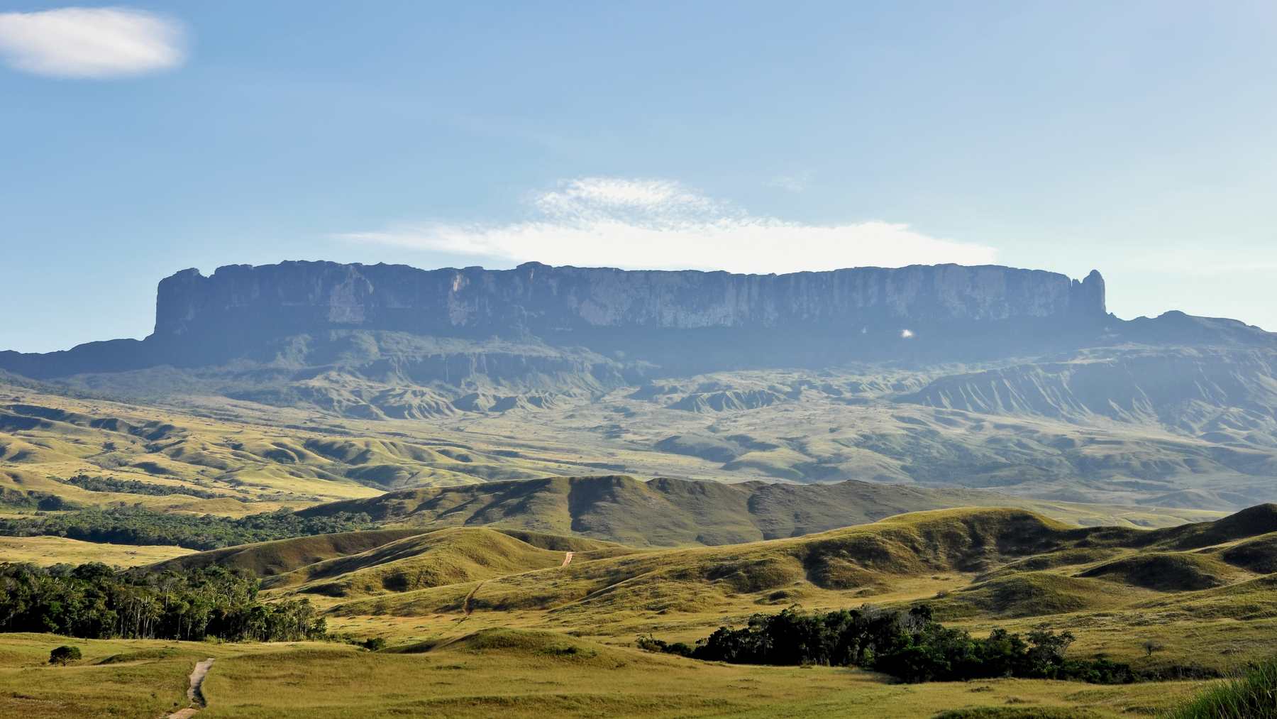
Brazil’s new management plan for the national park on Mount Roraima, where Venezuela, Brazil and Guyana meet, names the tree that Pemón storytellers described to a German ethnologist in 1911: a giant tree bearing every fruit, whose stump became the mountain. Mauro Oliveira Pires, president of Brazil’s Chico Mendes Institute for Biodiversity Conservation (ICMBio), signed Portaria No. 3,378 approving the plan for the Parque Nacional do Monte Roraima on July 27, 2026, and the order ran in the Diário Oficial da União on July 31.
Page 14 of the 50-page plan says the mountain was formed by the fall of the great tree, Wayaka Yek, and is “a morada da mãe (Imé),” the home of the mother. Translations from the plan’s Portuguese are made for this article.
Two storytellers and one tree
The ethnologist, Theodor Koch-Grünberg, reached the Taulipang village of Denong in late September 1911. His narrators were Mayuluaipu, a Taulipang man, and an Arekuna man he called Akuli, both from peoples now grouped as Pemón. He published their stories as the second volume of Vom Roroima zum Orinoco, and the quotes from it here are translated from his German for this article.
In Mayuluaipu’s telling, five brothers at the foot of Roroima had nothing to eat. Akuli the agouti, a forest rodent, had found the tree Wazaká deep in the woods, hung with all kinds of bananas, papaya, cashew fruit, oranges and corn, and was eating there every day in secret. When the eldest brother, Ma’nape, announced he would cut the tree down, the agouti warned that cutting it would unleash a great water and plugged each axe cut with fruit peels and beeswax.
“The tree stump that remained standing (yei-piape) is Roroima,” the Taulipang text reads. In the Arekuna version it is Makunaima who insists on felling the tree, and the stump of Wazaká forms Roroima today.
Bananas nobody planted
Had the tree fallen toward the narrators’ side, the story goes, there would be many bananas in the forest there. It fell to the other side of Roroima instead, toward the wet forest to the north, where banana groves “that nobody planted” belong to the Mauari, mountain spirits whose houses include Roraima.
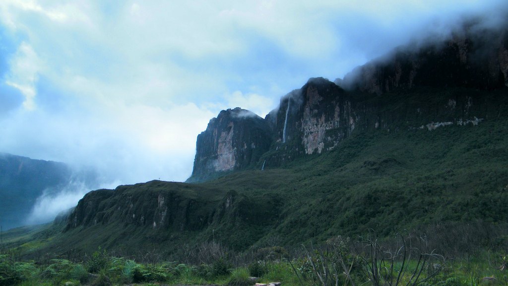
Water poured out of the stump, and with it came big fish, which all swam north too. In the Arekuna version the fallen trunk lies across the Caroní River as rock, forming a high waterfall. The story also explains, Koch-Grünberg added, the waters that plunge down from Roroima’s summit. In his 1917 travel account he called the mountain “the cradle of the human race” for these peoples, the subject of many of their songs and myths.
The Ingarikó and Brazil’s park
Across the border in Brazil, the mountain lies in the territory of the Ingarikó, around 1,900 people in 14 communities, one of which, Mapaé, has its center inside the park. Their name means people who live high on the mountain range, according to ICMBio’s 2026 management plan. In their account the tree cutter is Siikë. The plan says the Ingarikó see themselves as his descendants and credit him, after he cut the Wayaka Yek, the tree of all plants, with the diversity of animals and plants, the rock paintings and the geology of their region.
The plan also lists soldier stones, or pedras-soldados, that guard Mount Roraima, Mount Caburaí and the Serra do Sol, among other peaks. The Serra do Sol, about 7,200 feet (2,200 meters) high, appears in the plan as Wîi-tîpî, a form of Wei-tepui, and is a separate mountain from Roraima.
Locals know Roraima as a big water tank, or grande caixa d’água, the plan notes. Springs on the mountain feed the Cotingo in Brazil, the Arabopó in Venezuela and the Kako in Guyana, and according to Indigenous knowledge these rivers hold several places of respect that must be safeguarded.
A decree on June 28, 1989, created Brazil’s park, 116,000 hectares (about 448 square miles) in Uiramutã. The Raposa Serra do Sol Indigenous Land, ratified in 2005, covers all of it, so the plan describes the area as triply protected: Indigenous land, national park and border strip.
Canaima holds the Venezuelan side
The usual trail to the summit, from Paraitepui, runs through Venezuela’s Canaima National Park, which UNESCO put on the World Heritage List in 1994. It covers 3 million hectares (about 11,600 square miles) of Bolívar State, and UNESCO says roughly 65 percent of it is covered by tepui formations. Its cliffs include what UNESCO calls the world’s highest waterfall, Angel Falls, at about 3,280 feet (1,000 meters).
In May 1999, Pedro Rosabal of IUCN and José Pedro de Oliveira Costa of the World Heritage Centre visited the park and counted about 80 Pemón communities inside it, home to 12,000 to 15,000 people. The Pemón, they wrote, “have been managing fires for centuries in this area and have their own traditional procedures for control.” Their report also called the communities key players in stopping illegal mining on their lands and said this should be fully recognized.
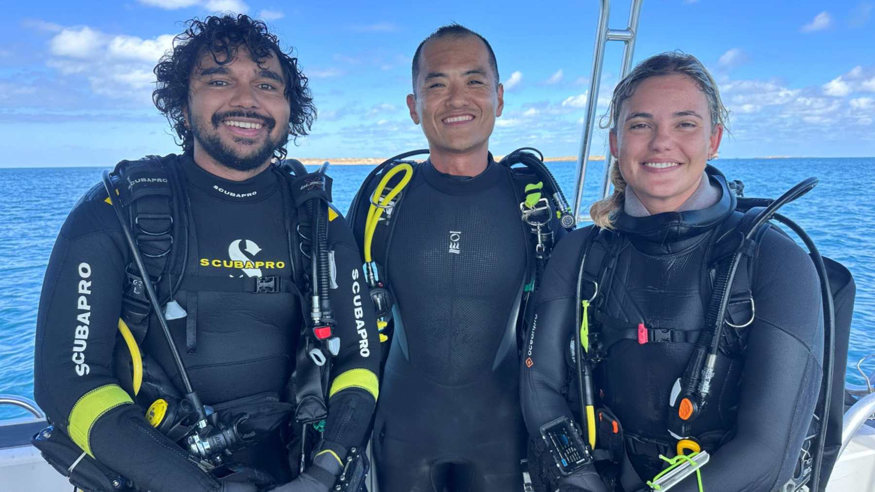
Indigenous experts are shaping fieldwork elsewhere too. In Western Australia, Aboriginal ranger divers worked beside archaeologists at a drowned spring.
Rocks close to 2 billion years old
ICMBio’s plan lists Roraima at 8,970 feet (2,734 meters) and traces the tepuis to the Roraima Supergroup, sandstone laid down around 2 billion years ago. A 2003 study in the Geological Society of America Bulletin, led by geologist João Orestes Schneider Santos, dated zircon crystals from thin beds of tuff, or hardened volcanic ash, inside the sandstone to 1,873 million years, plus or minus 3 million. Geologists use the same mineral for a 4.4-billion-year-old grain from Western Australia’s Jack Hills and for 1,712 crystals drilled from the seafloor around Antarctica.
What the records leave open
In Koch-Grünberg’s own words, the hero stories of these closely related peoples differ in some points, and the tree is Wazaká in his books and Wayaka Yek in the 2026 plan. The plan also says Ingarikó ties to places of respect are still poorly understood. Some sit inside the park, like a dragon’s cave near the Pipi do Manalai community and a giant wasp near Mount Roraima.
The label mother of all waters circulates widely for Roraima, but it does not appear in the UNESCO, ICMBio or academic sources checked for this story, which speak instead of the home of the mother, Imé, and of a big water tank.
Photo: Paolo Costa Baldi / Wikimedia Commons, CC BY-SA 3.0