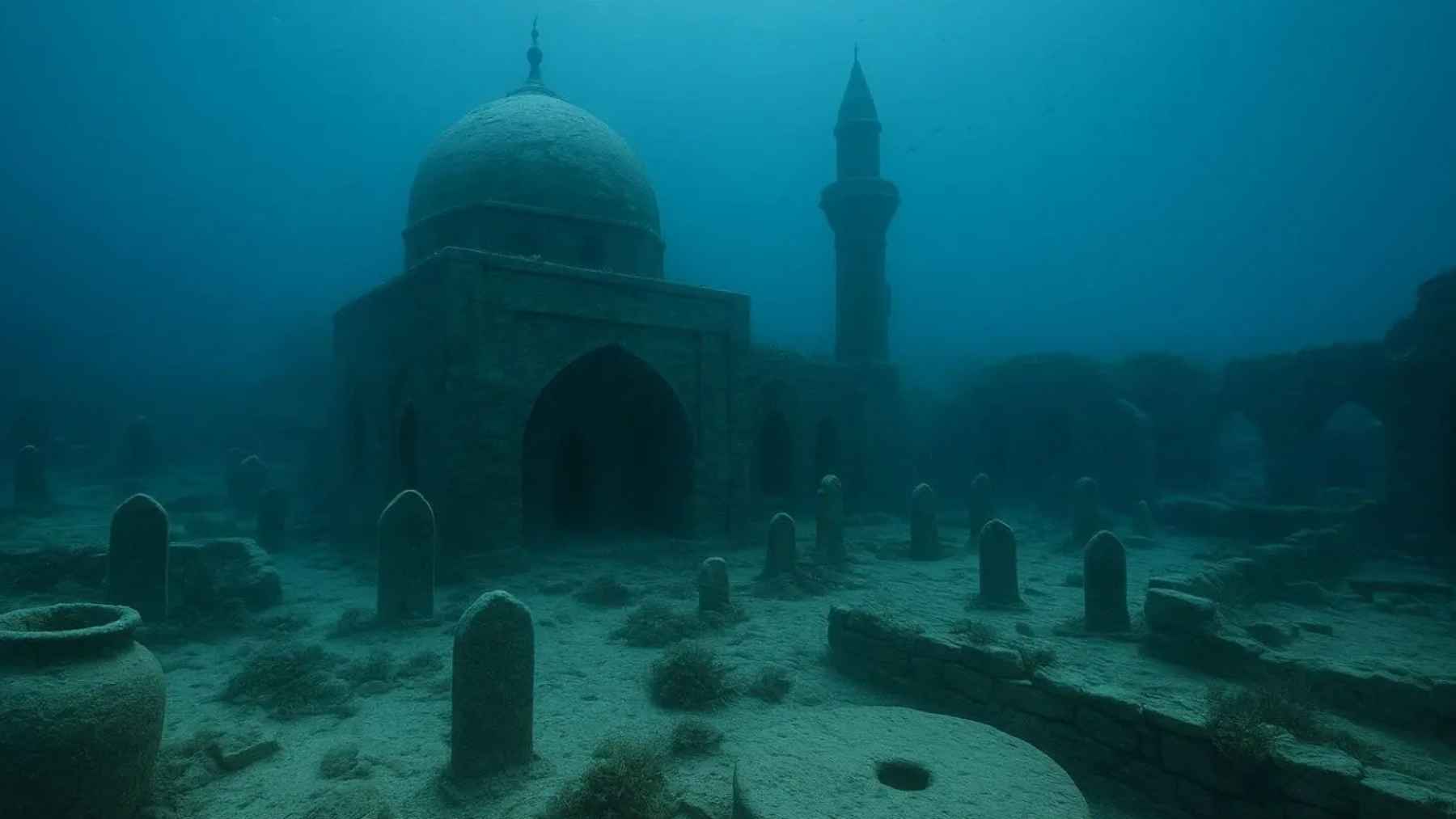
A medieval settlement has been confirmed on a lake floor, showing that streets and buildings lie underwater today. That drowned footprint changes where historians look for trade, religion, and daily life along Central Asia’s old travel corridors.
Ruins in shallow water
Along Lake Issyk-Kul in Kyrgyzstan, south of Kazakhstan in Central Asia, divers in an underwater expedition surveyed a flooded zone near Toru-Aygyr. Using those finds, archaeologist Valery Kolchenko of the National Academy of Sciences of the Kyrgyz Republic called it a city.
From just 3 to 13 feet down, Kolchenko’s team mapped four separate areas where walls, beams, and pottery stayed intact. Such intact material makes the lakebed more than a rumor, but the real street plan still remains hidden.
Walls, kilns, and debris
Back in 2023-2024, an expedition report described brick buildings and kiln complexes lying beneath Issyk-Kul’s water. Alongside the masonry, divers collected broken ceramics, animal bones, and slag, leftover waste from metal heating and refining.
Under loose sand, the team found a preserved cultural layer, a band of soil packed with human traces. Finding that buried layer suggests people built and rebuilt on the shore for years before water covered everything.
A town on routes
Caravan roads once threaded around Issyk-Kul, and UNESCO tracks those corridors in its Silk Roads programme in Kyrgyzstan. A conservation report traced a main path from the Chui valley west of Issyk-Kul and over Bedel Pass into China.
Through that corridor, merchants moved silk, spices, and metalwork, while ideas about religion and language traveled with them. “The monument under study is a city or a large commercial agglomeration on one of the important sections of the Silk Road,” said Kolchenko.
Burials point to Islam
Near the ruined buildings, the team documented a 13th-14th century Muslim necropolis, a planned cemetery used by one community. Bodies lay with faces turned toward the qibla, the direction of Mecca during prayer, matching long-standing burial practice.
Covering roughly 1,000 by 650 feet, the cemetery still held enough bone for specialists to recover two individuals. Wave action is eroding the graves now, so careful recording may matter more than digging up every artifact.
Why the city sank
Geologists know the Tien Shan mountains shake often, and Kolchenko linked the city’s drowning to a major 15th century earthquake. When an earthquake breaks the lakebed or tilts the shore, water can spill over streets and bury walls under silt.
Atlantis is a label people reach for, yet signs of abandonment before the collapse suggest the disaster killed few residents. After the city vanished, nomadic groups used the shore, and small villages still ring the lake today.
Dating the drowned layers
To pin down when buildings rose and fell, the team sent wood and other organic samples to labs. One test used dendrochronological analysis, matching tree rings to dated growth records, to date beams with yearly precision.
Another method, accelerator mass spectrometry, counting rare carbon atoms for age estimates, lets scientists date burned wood or bone. Those dates should show whether builders kept working into the cemetery era and whether the settlement ended in one sudden event.
Working under the surface
Visibility near shore can change fast, so teams worked in short stints underwater and marked each wall segment carefully. Careful photos and measurements preserved the layout of rooms and roads, which matters more than any single object.
UNESCO’s principles treat leaving underwater heritage in place as the first option before intrusive digging. Once artifacts leave cold water, air can crack wood and peel surfaces, so conservation becomes part of excavation.
Redrawing Silk Road maps
Instead of treating Issyk-Kul as empty space between known towns, archaeologists now have a mapped urban footprint underwater. Decorative fragments suggested a public building, perhaps a mosque, bathhouse, or madrasa, an Islamic school for religious study.
Such civic architecture fits a settlement that served traders, but it also implies families, rules, and a shared local identity. If future surveys outline streets and neighborhoods, historians may need to adjust how they describe urban life in this region.
Protecting what remains
Survey teams still have only a partial map, and they plan broader scans to define the settlement’s full extent. Chemical tests on mud and artifacts can clarify building materials and track changing shoreline conditions over centuries of use.
Following UNESCO guidance, protecting the site also means limiting careless collecting, since even small objects can carry dates and clues. Leaving much of the city underwater may allow better tools later, but erosion will keep stealing details each season.
What comes next
The lake has preserved a town’s walls, workshops, and graves in place, giving Central Asia a new point of reference. As dates and maps firm up, officials can plan protection and scholars can fold Issyk-Kul into regional histories with confidence.
The study is published in The Volga River Region Archaeology.