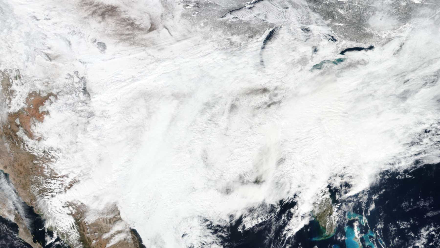
On November 20, 2025, a forecasting system called MicroDuet sent a week-four temperature outlook to a contest run by Europe’s leading weather center, and it pointed to a cold air outbreak in the eastern United States in mid-December. The cold came, the center’s own debiased model had missed it, and the episode now sits in a new study on fixing weather forecasts two to six weeks out.
Applied to the subseasonal AI model of the European Centre for Medium-Range Weather Forecasts (ECMWF), the team’s correction layer doubled its average skill. In ECMWF’s 2025 AI Weather Quest, the team’s corrected forecasts beat those of six operational forecasting centers, including NOAA, and of 34 teams worldwide.
The work was led by Hannah Guan, a Harvard College undergraduate who did it as an intern at Microsoft Research, and Soukayna Mouatadid, a postdoc at the University of Toronto. Judah Cohen, a research scientist in MIT’s Department of Civil and Environmental Engineering, and Lester Mackey of Microsoft Research are the corresponding authors.
“Not only does this do better on time averaged forecasts for this range, which is already very useful for farmers and members of the energy industry trying to match supply with demand, but it also improves predictions of extreme weather events, whether it’s flooding or cold spells or something else,” Cohen told MIT News. “It’s really important to predict both, but extreme events might be the most impactful part of this for society.”
The forecast that called December
The paper describes that call in its own words. MicroDuet’s real-time week-four temperature forecast, issued on November 20, 2025, “anticipated the mid-December cold air outbreak in the Eastern United States,” the authors write, calling it “an extreme cold event” that was “missed by the leading debiased dynamical model from ECMWF.”
According to the study, the forecast was shared publicly in real time that November, and the blast of Arctic air that followed was later verified as an extreme cold event.
Why weeks three and four are so hard
In the 1960s, longtime MIT professor Edward Lorenz laid the groundwork for chaos theory, showing how tiny changes in starting conditions lead to completely different weather.
“He came up with this theoretical two-week limit where beyond that, we just can’t predict weather because the noise in the system grows so much that it overwhelms any signal you start with,” Cohen said. “That had a strong influence on the field that may have held people back from exploring forecasting beyond the two-week range. I never really believed that completely. In theory the atmosphere can create an infinite number of patterns, but it likes to fall into these favorite patterns over and over again. Once one thing happens, I think you can predict the domino that will fall after that, and the domino that will fall after that.”
Forecasts two to six weeks ahead are called subseasonal forecasts. “That range is referred to as the ‘predictability desert,’ because in the short range you can capitalize on the initial conditions in the climate system and the atmosphere, and on the longer term you have these slow, varying boundary forces, like the super El Niño everyone’s focused on this winter,” Cohen said. “The subseasonal range can’t take advantage of either of those. In most cases forecasting in the subseasonal ranges is no different than going to a casino and rolling the dice.”
A wrapper that learns from old mistakes
Cohen credits Mackey, his collaborator for more than a decade, with the idea of using machine learning to strip errors out of existing models. Cohen calls the result a wrapper, and Mackey calls it postprocessing. “We know AI models have a lot of errors, so we thought maybe we can quantify those errors and remove them,” Cohen said. “As more forecasts and data become available, our model adaptively improves its correction.”
The method, called probabilistic bias correction, turns a model’s forecast into odds for five bands, from far below normal to far above, and then shifts those odds using the model’s past forecasts, recent observed weather and what the weather actually did.
Back in 2019, Mackey described what the big operational models were leaving out. “Today, all of the major climate centers employ massive supercomputers to simulate the atmosphere and oceans,” he told Microsoft’s Source. “The forecasts have improved substantially over time, but they make relatively little use of historical data. Instead, they ingest today’s weather conditions and then push forward their differential equations.”
Cohen described his own starting point in the same article. “I am basically doing something like machine learned pattern recognition in my head,” he said. “I thought maybe I can improve on what I am doing in my head with some of the machine learning techniques that are out there.”
The team trained the system on MIT’s Engaging supercomputing cluster, but the finished model does not need a supercomputer to run. “What’s nice about our model is it’s an add-on wrapper,” Cohen said. “We used it with the ECMWF’s dynamical model because that was considered the best, but it can be used with any model. It even improves models that are already bias corrected using another AI algorithm. So it shows a robust improvement. And it’s open source and low cost.”
First place in Europe’s forecasting contest
In the AI Weather Quest, teams send in forecasts every week of temperature, rainfall and sea-level pressure three and four weeks ahead, and each is scored against the long-term average for that place and date.
MicroDuet, entered by a team called MicroEnsemble, did best for every variable and lead time in the September to November 2025 season, ahead of the models of ECMWF, NOAA and the national services of Canada, Russia, South Korea and Japan. “Overall, MicroDuet significantly outperforms the ECMWF IFS for all variables and lead times,” ECMWF scientists, including Joshua Talib and Jakob Schloer, wrote in a March ECMWF science blog. Talib and Schloer are also co-authors of the paper.
“Up until now, no one had been able to show a model predicts weather better than long term averages for these subseasonal forecasts,” Cohen said. “People have questioned if it’s even worth investing in models at all for this time range. We consistently beat climatology averages with our models.”
Floods, freezes and farm planning
“That’s one of the more important findings, because it’s so difficult to accomplish,” Cohen said of the gains on extreme weather. “When the ECMWF developed their own, non-AI, error-correction to their model, it got worse at predicting extreme weather. I think that’s because traditional error, or bias, correction is always trying to get to the mean, whereas extreme weather is on the fringe of probabilities.”
For 88 severe floods logged by the Global Disaster Alert and Coordination System since 2016, each with more than 100 deaths or 80,000 people displaced, the correction raised flood forecast skill by 86 to 150 percent.
According to Cohen, Kenya’s national meteorological office has already asked about using the model to forecast its rainy season for farmers. “This could help you decide when to fertilize around rain, when there’s a freeze coming to protect crops during winter harvests, or help you avoid droughts,” he said. “It could also be useful for energy and emergency management. I’ve talked to energy officials who say, ‘If I’m told two days before that an ice storm’s coming, I don’t have enough time, but if I had two weeks, that could be enough to make adequate preparations.'”
MIT News recalls Texas in February 2021, when the worst energy infrastructure failure in the state’s history followed three severe winter storms and at least 246 people were killed.
What the add-on cannot fix
The forecasts cover grid cells 1.5 degrees of latitude by 1.5 degrees of longitude, about 104 miles (167 kilometers) from north to south, so they cannot warn a single town of a flash flood the way short-range tools can.
Before correction, ECMWF’s AI model scored 0.03 on average, on a scale where zero equals the long-term average and one is a perfect forecast, and the authors call their method a post-processing tool “rather than a replacement for input model improvement.”
Five of the authors, including Mackey, are Microsoft employees, and seven, including Cohen, own Microsoft stock.
The full study was published in Nature.
In 2019, when the results of the pair’s first forecasting contest came out, Cohen called machine learning a starting point. “I see the benefit of machine learning, absolutely,” he said. “This is not the end; more like the beginning. There is a lot more that we can do to increase its applicability.”
Image: NASA Worldview