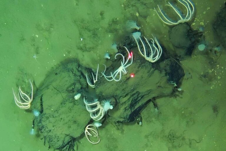
It is easy to reach for Atlantis when a city appears under water. At Lake Issyk-Kul, though, the story is not a myth, and that may make it more fascinating. Underwater archaeologists have mapped walls, collapsed buildings, wooden beams, a millstone, and a large Muslim cemetery in the lake’s northwestern shallows.
The finds point to a busy medieval settlement tied to the Silk Road, the network of trade routes that carried goods, faiths, languages, and habits across Asia and into Europe. Researchers think a powerful earthquake in the early 15th century helped send part of the city beneath the lake, leaving behind a rare snapshot of life along one of Central Asia’s great crossroads.
A city under the shallows
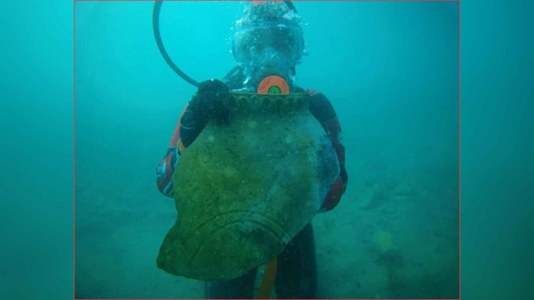
The 2025 expedition focused on the flooded Toru-Aygyr complex, where divers worked in water only about 3 to13 feet deep. That sounds shallow, almost like the edge of a beach, but Issyk-Kul itself is anything but ordinary. The lake reaches about 2,192 feet at its deepest point and covers about 2,425 square miles, making it one of the world’s major high-mountain lakes.
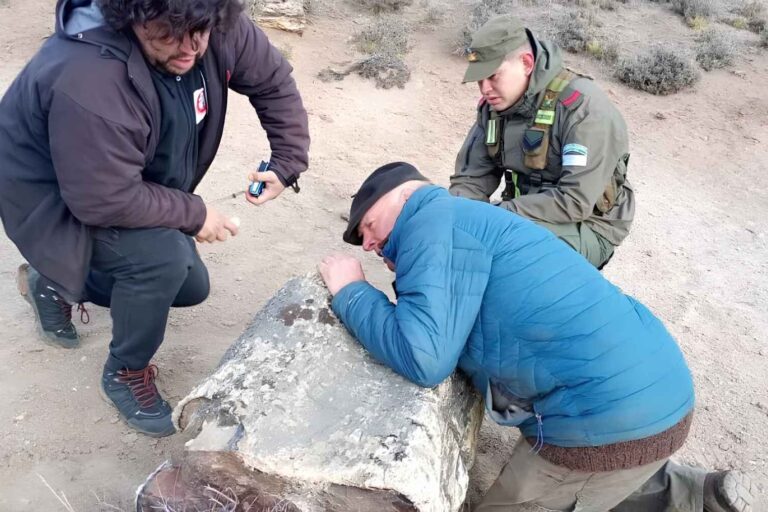
Maxim Menshikov, an underwater archaeologist at the Institute of Archaeology of the Russian Academy of Sciences, and Valery Kolchenko of the National Academy of Sciences of the Kyrgyz Republic led the work on the site. In September and early October 2025, the team recorded four sections of the submerged settlement, using divers, underwater drones, drilling, and samples from mud walls, buried soil, and wood.
Signs of a working city
At the first location, divers found baked brick walls, ruined structures, and a stone millstone used to grind grain. A millstone might sound humble, but it is a strong clue. It points to food production on a community scale, not just one family making flour for dinner.
Read More: {{post_title link:post}}
The team also found a decorated architectural piece that may have belonged to a public building, possibly a mosque, bathhouse, or madrasa. Kolchenko described the site as “a city or a large commercial agglomeration” on an important section of the Silk Road.
A Silk Road crossroads
UNESCO’s description of Silk Roads sites in Kyrgyzstan notes that routes through the Tien Shan and Issyk-Kul region connected mountain valleys, caravan stops, and medieval towns. This was not a lonely lakeside village. It was part of a wider traffic system where traders, pilgrims, craftsmen, and travelers moved through difficult mountain terrain.
Read More: {{post_title link:post}}
Issyk-Kul is a drainless lake, which means rivers flow into it, but no river carries its water out to the sea. Over long periods, changes in water level can reshape the shore, and in an earthquake zone, that story can become more dramatic. Researchers believe the early 15th-century disaster pushed the settlement under water, where silt and waves slowly covered the remains.
Graves telling a quieter story
The second area revealed a Muslim necropolis, a planned cemetery, spread across about 984 by 656 feet, or roughly 14 acres. The skeletons were placed according to Islamic burial customs, with faces turned toward the qibla, the direction of the Kaaba in Mecca. The team recovered the remains of one man and one woman for further study because waves are already eating into the graves.
For archaeologists, this is more than a map of burials. Human remains can help reveal what people ate, where their ancestors came from, and what daily life was like in a medieval Silk Road community.
The official release also notes that before Islam became widespread in the region, local communities practiced Tengrianism, Buddhism, and Nestorian Christianity, which helps explain why this lakeside city may have carried layers of belief.
Clues in wood, mud, and time
The team sent wooden beams for tree-ring analysis, a method that compares growth rings in wood with dated records. When it works well, it can narrow down when a tree was cut, sometimes with surprising precision. Researchers also plan to use accelerator mass spectrometry, a refined radiocarbon method that measures carbon in organic material to estimate age.
A related paper in The Volga River Region Archaeology had already reported medieval brick buildings, kiln complexes, ceramic fragments, animal bones, slag, and a preserved cultural layer under the lake from earlier field seasons.
Read More: {{post_title link:post}}
The new work expands that picture, adding the cemetery, more structures, and a clearer sense that Toru-Aygyr was once a real urban landscape, not just a scattered set of ruins.
More than a legend
This is not a fantasy city with golden towers. It is something more useful to history, a working settlement with mills, religious buildings, workshops, graves, and links to long-distance trade. Bit by bit, the lake is giving researchers the outline of streets and neighborhoods where people prayed, bought food, buried relatives, and watched caravans come and go.
The trouble is, the same water that preserved the site is also wearing it away. That is why mapping, sampling, and monitoring matter now, before more bones, bricks, and wood vanish into the silt.
The official press release was published by the Russian Geographical Society.