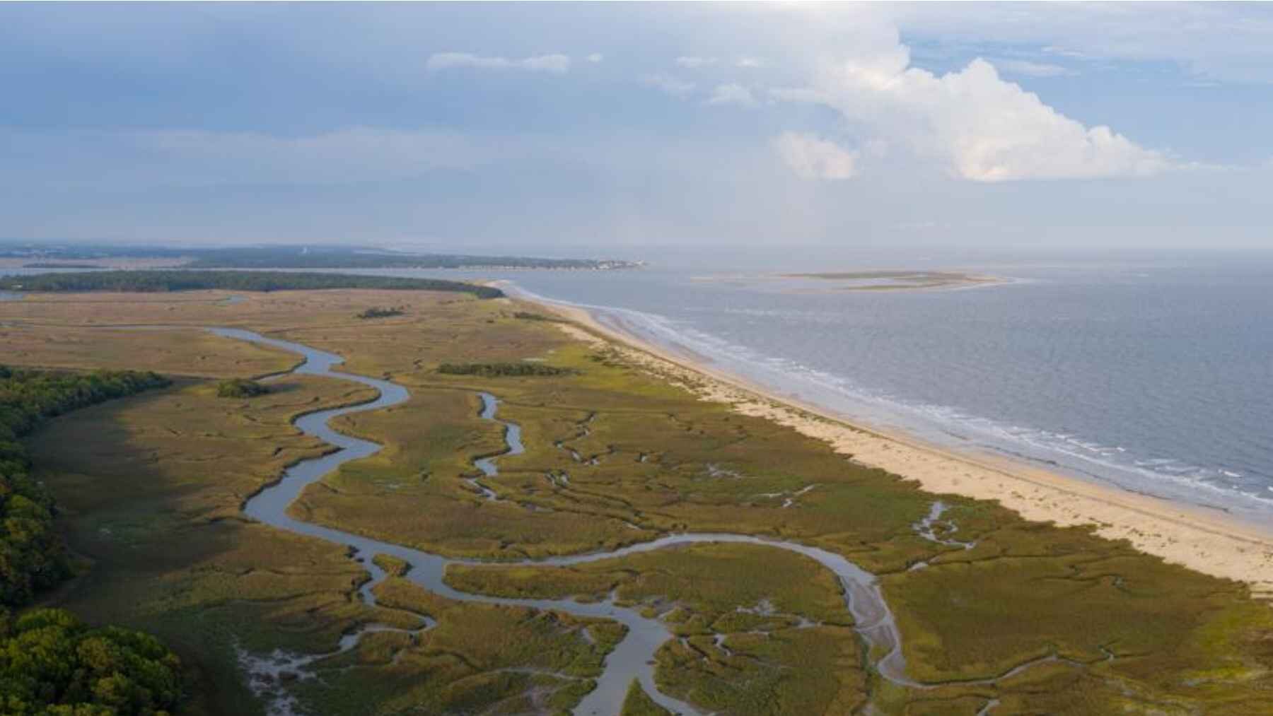
America’s coastal wetlands are in a race they are mostly losing. A new national study found that 84% of monitored wetlands across the Atlantic, Gulf, and Pacific coasts of the lower 48 states are not gaining height fast enough to match rising seas.
So, are they doomed? Not necessarily.
Some may eventually become open water. But the picture is more complicated than a simple countdown to disappearance.
Published Aug. 3, 2026, the study analyzed 442 monitoring stations, creating the first national-level assessment of whether these ecosystems can keep their surfaces above the water. Only 16% are gaining elevation faster than local sea level is rising.
Still, there is some good news. About 73% may be able to shift inland, turning nearby undeveloped ground into a possible lifeline.
What the 84% figure really means
Wetlands are not motionless patches of soggy ground. They change. They grow.
They trap mud and plant remains, gradually building their surfaces like a floor gaining one thin layer after another. The team found that 89% are rising in elevation, but only 16% are doing so fast enough to beat local sea-level rise.
What happens to the rest?
They fall into two very different groups. Eleven percent are already on a clear trajectory toward submergence, while 73% are falling behind but may be able to migrate uphill.
So, the 84% figure does not mean 84% will simply vanish. It means most need more elevation, more room to move, or both.
How the scientists measured change
The first national assessment combined existing records from 442 stations spread along the three ocean-facing coasts of the contiguous United States. Some sites had tracked wetland elevation for as long as 20 years.
Researchers then compared those measurements with tide-gauge records. This allowed them to capture the combined effect of a rising ocean and local land movement.
And that matters.
A coastline can sink while the ocean rises. Field instruments measure tiny changes in sediment buildup and land subsidence, but reaching them is not always easy.
Researchers may have to slog through marshes carrying heavy gear. Sometimes they need a boat. One particularly remote site even required a helicopter.
It is slow, messy fieldwork. But those scattered observations gave researchers something much bigger, a coast-to-coast picture.
Why the Gulf Coast is most exposed
The Gulf Coast showed the fastest submergence. Rising water is only part of the problem.
Shipping canals have changed waterways and reduced the flow of river sediment that sustains wetlands. Oil and gas extraction can also lower underground pressure and contribute to sinking land.
The Atlantic Coast looked more resilient. About 75% of monitored sites there showed submergence slow enough to rule out a critical threat under the study’s classification.
Why the difference?
Ocean waves can deliver more marine sediment along parts of the Atlantic Coast, helping marsh surfaces rise. Along parts of the Pacific Coast, meanwhile, hills and cliffs can leave wetlands with very little flat land to move into.
Why losing wetlands hits home
Coastal wetlands are more than muddy stretches of shoreline. They are living buffers between land and open water.
They provide habitat for endangered species and migratory birds. They shelter young fish, filter pollution, and give people places to hunt, fish, and birdwatch.
Then there is storm protection.
Wetlands can weaken storm surge before it reaches homes, roads, and transportation networks. Think of them as a natural shock absorber sitting between a coastal town and the ocean.
Lose that buffer, and the water has less in its way.
A possible escape route inland
Here is where things get interesting.
As water rises, a wetland can gradually shift toward higher ground. Its lower edge floods, wetland plants establish themselves farther inland, and the whole ecosystem slowly changes location rather than drowning in place.
The study found that 73% of the monitored wetlands may have this option if the surrounding landscape allows it.
But there is a catch.
A wetland cannot move through a seawall, subdivision, highway, or steep cliff. It is a little like trying to slide a rug across a room when furniture blocks every path.
Protecting low-lying land beside existing wetlands could therefore make a big difference. That empty patch of land may become the wetland of the future.
What managers can do now
So, what can actually be done?
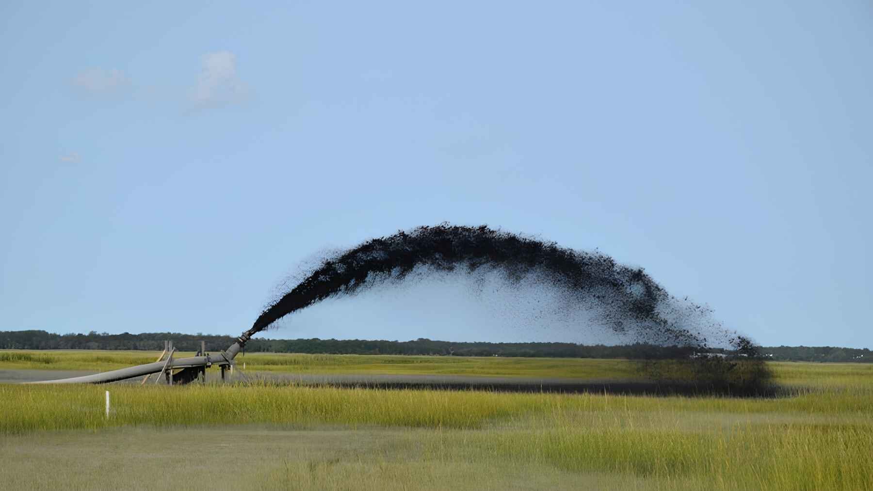
The study points to several practical options. Managers can remove dikes that block tidal flow, add sediment where wetland surfaces are too low, and protect inland corridors before they are developed.
Earlier research on coastal habitat resilience has also found that restoration and sediment management can support both vertical buildup and horizontal migration.
But there is no one-size-fits-all fix.
Adding sediment may help a sinking marsh. Somewhere else, protecting neighboring upland could matter much more.
That is why the national picture matters. It can help conservation managers decide where limited money and resources have the best chance of working.
The clock is speeding up
Global mean sea level rose about 0.07 inch per year during the 20th century. From 2006 to 2018, that rate climbed to about 0.15 inch per year.
At first, a little extra water can actually help some wetlands. It can stimulate plant growth and increase sediment capture.
But only up to a point.
Even plants adapted to wet conditions have limits. When they stay flooded too often, their growth slows. Eventually, they can die.
“It’s not all doom and gloom,” said lead author Justine Neville, a wetland ecologist at Duke University.
Senior author Glenn Guntenspergen, a coastal wetland ecologist with the U.S. Geological Survey, said the national results can help managers identify meaningful solutions.
There is still room to act. Literally.
For many wetlands, survival may come down to whether they can keep building upward, move inland, or get a little help doing both.
The full study was published in Earth’s Future.