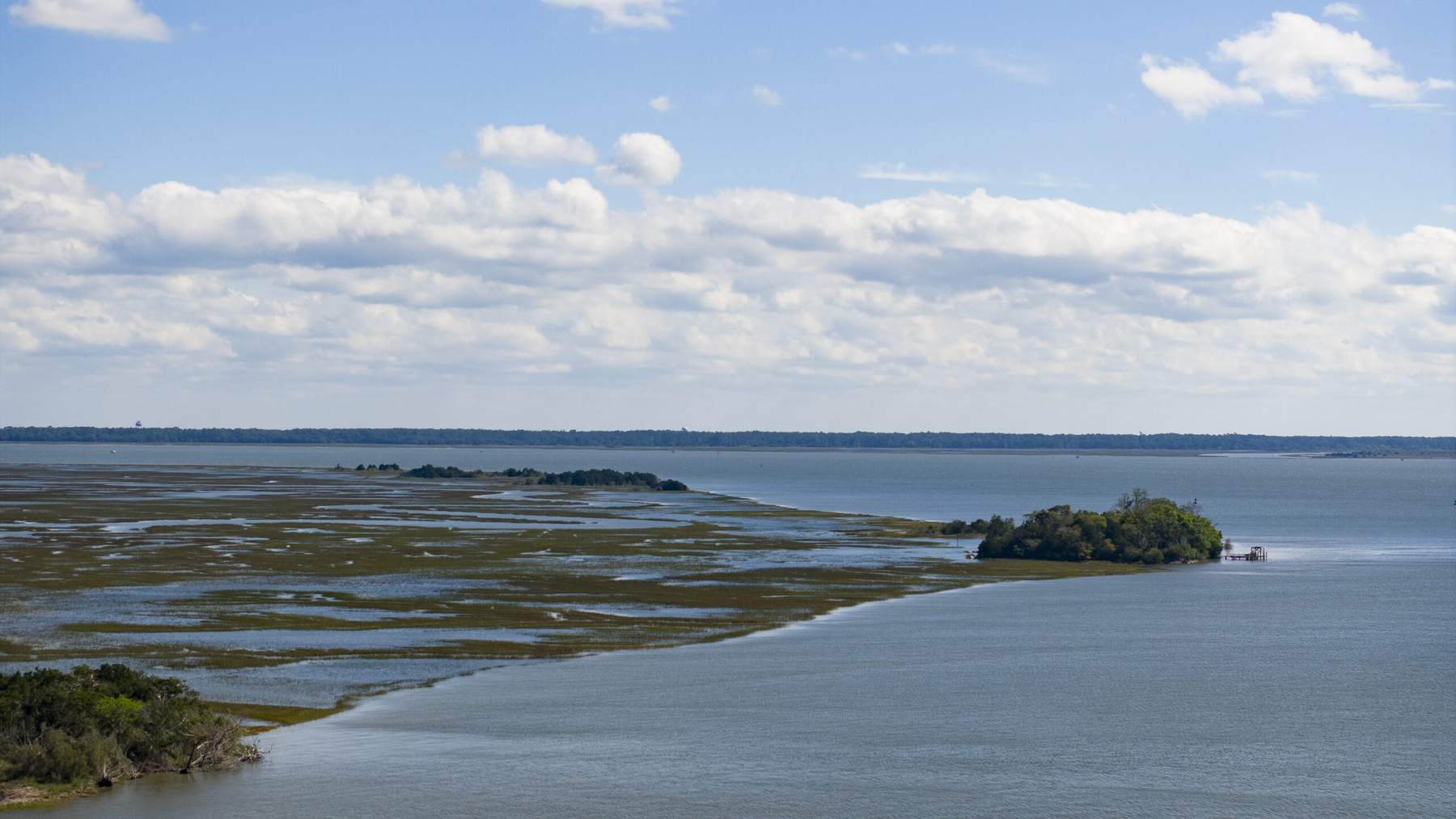
Georgia salt marsh covers a huge stretch of the state’s coast. It also does a quiet job. The grass soaks up storm surge, slows flooding and holds shorelines in place.
Now researchers say that buffer is not keeping up with rising seas. A University of Georgia and Georgia Tech team is designing ways to rebuild it in Camden County, in the state’s southeastern corner.
The project is described in a University of Georgia research news release published November 20. It is backed by nearly $1 million from the National Coastal Resilience Fund. The National Fish and Wildlife Foundation runs that fund.
Marshes that are not keeping up
Georgia contains more than a third of the salt marsh on the East Coast, according to the university. That makes the question of how to restore and preserve it especially important for the region.
“The marshes of Georgia are not keeping up with sea-level rise,” said Clark Alexander, a UGA professor who directs the Skidaway Institute of Oceanography. “So at some point, we’re going to start seeing marsh loss because they’re being flooded too frequently.”
Federal tide records show how the water has crept up. NOAA’s tide gauge at Fernandina Beach, Florida, just south of Cumberland Island, shows sea level rising about 0.91 inches per decade in records that go back to 1897.
Farther north, near Savannah, the agency’s gauge at Fort Pulaski shows a faster rate of about 1.44 inches per decade since 1935. Over a century, that works out to a little more than a foot.
Part of that extra water comes from melting land ice far away. According to a synthesis of 42 satellite surveys, polar ice loss since 1979 adds up to 11.3 trillion metric tons.
Three places with three different problems
The cost of losing marsh looks different across Camden County, the university explains. In the waterfront community of St. Marys, flooding is the main danger.
On Cumberland Island, degraded marsh and shoreline erosion threaten wildlife habitat and historic sites. One example is the ruins of the Carnegie family’s Dungeness mansion.
Near Naval Submarine Base Kings Bay, sediment keeps filling the navigation channels. Crews dredge regularly to keep the waterways deep enough for vessels. That leaves a lot of mud with nowhere obvious to go.
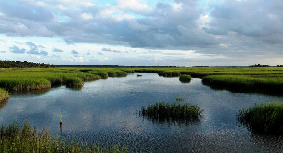
Cumberland Island National Seashore alone holds 9,341 acres of salt marsh, according to the National Park Service. The marsh lies on the western side of the island, sheltered from ocean waves by the island itself.
Grass, oyster shells and coconut logs
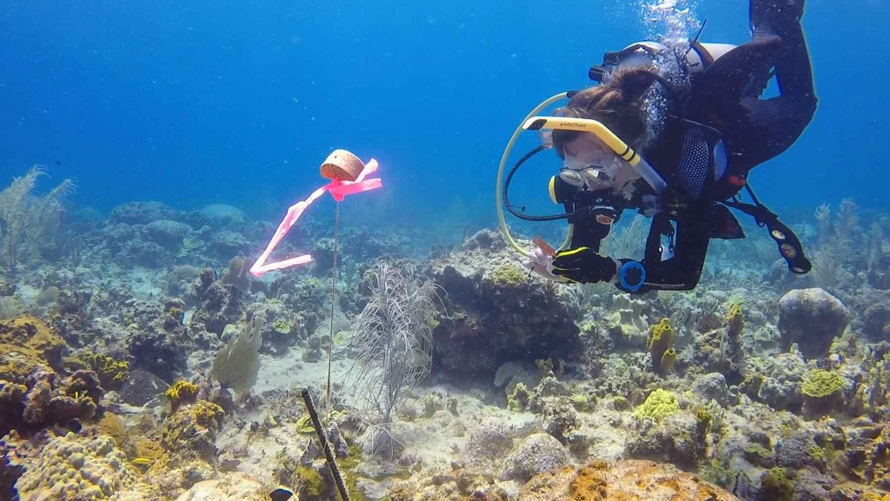
Instead of relying only on seawalls and other hard structures, the team is exploring nature-based fixes. These include planting native grasses, building living reefs from oyster shells and laying biodegradable logs made of coconut fiber.
Another option is spreading thin layers of dredged sediment over vulnerable marshes. The idea is to raise them a little so they flood less often.
Similar oyster reef work is under way elsewhere on the East Coast. In Maryland, a $10 million NOAA project is laying stone for more than 70 acres of oyster reef habitat in Hooper Strait.
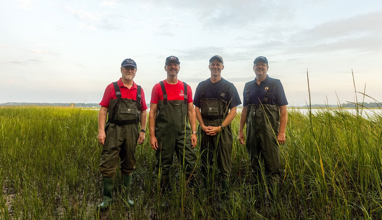
“A salt marsh is a gift that keeps on giving,” said Joel Kostka, the Georgia Tech professor who leads the project. Given room to grow, a healthy marsh can migrate inland as the sea rises and keep protecting the communities behind it.
That inland edge is where salt water meets forest. In a separate experiment, scientists flooded a Maryland forest with 80,000 gallons of salty water in a single day to see how trees and soil react when the sea moves in.
Following the mud with computer models
Georgia’s estuaries are muddy and always changing. Tides and currents move sediment around all the time. That makes it hard to predict where shorelines will erode and where mud will pile up.
Alexander collects data in Cumberland Sound, including the size and properties of the sediment. Those numbers feed physics-based computer models built by Matthew Bilskie, an associate professor in UGA’s College of Engineering.
The models simulate where the sediment comes from, how it moves and where it settles. The team uses them to test where dredged material from around Kings Bay could help restore marsh. They also show how that might affect the nearby waters.
Bilskie called it a huge need. There is plenty of work left in Cumberland Sound and Kings Bay, and across the country there is growing interest in useful ways to reuse dredged sediment.
A partnership that started in 2022
The two universities began working together in Camden County in 2022. That first project, also funded by the National Fish and Wildlife Foundation, studied marsh conditions, sediment movement, erosion and water circulation.
With the new money, the team is moving from understanding the problems to designing actual restoration. Georgia Tech brings expertise in marsh ecology, while UGA adds coastal processes and computer modeling.
The low marsh on Cumberland Island floods with salt water for six to eight hours a day, according to the Park Service. Only one plant, smooth cordgrass, has adapted to survive there, which makes it a true natural monoculture.
Kostka said the communities living beside these marshes have a role too. In that view, protecting the coastline is a community effort, and scientists, officials and the public all have to work together.
Photos: University of Georgia; National Park Service