Scott C. Waring, who runs the blog UFO Sightings Daily, posted a seafloor map on September 8, 2026, under the headline “10 Mile Long Alien Base Found In Ocean Off Australia.” He listed the location as “Ocean Below Australia” and wrote this underneath.
“Now this is exciting. Not often you find something in the middle of nowhere that is ten miles by four miles across and not to mention this megalith structure is also deep, I would estimate it to go at least 10-15 miles deep or more. How can such a structure exist without everyone knowing? Easy, Google is controlled by the US gov and they clearly want to help hide the truth about aliens.”
A few lines down: “This alien base looks clean and taken care of, without any sand or sea growth covering it up…you know what that means…aliens are living there right now! Its not abandoned its occupied.”
The only source in the post is the homepage of Seabed 2030, the international project building a free map of the ocean floor. No coordinates. The deepest known point in the ocean is about 6.8 miles (11,000 meters) down, according to NOAA Ocean Exploration.
NOAA says the lines are ship tracks
NOAA’s National Ocean Service keeps a page called “Did I find the lost underwater civilization of Atlantis?” and gets the question often. Its example is a grid northwest of the Canary Islands, more than 100 miles wide.
“While these formations are human-made, they are only made of data. In other words, there are no physical lines on the ocean floor. These lines are artifacts of the ocean floor mapping process,” the agency writes.
“When you see strange grid-like formations on the seafloor while using an online mapping tool, what you are really seeing is two (or more) different maps layered on top of each other. One map may show a large, low-resolution picture of the ocean floor. This map will show little detail and will look smooth.”
The sharper layer comes from sonar surveys of the seabed. “The path of the lines show the paths traveled by the ships that gathered these higher-resolution sonar readings of smaller patches of the ocean,” NOAA says.
How a sonar strip gets drawn
Unlike single-beam sonar, which uses just one transducer, “a multibeam sonar sends out multiple, simultaneous sonar beams (or sound waves) at once in a fan-shaped pattern,” NOAA Ocean Exploration explains. “This covers the space both directly under the ship and out to each side.”
Each pass leaves a strip of detailed depth readings, with sharp edges where the ship’s coverage stops and the blurry background starts.
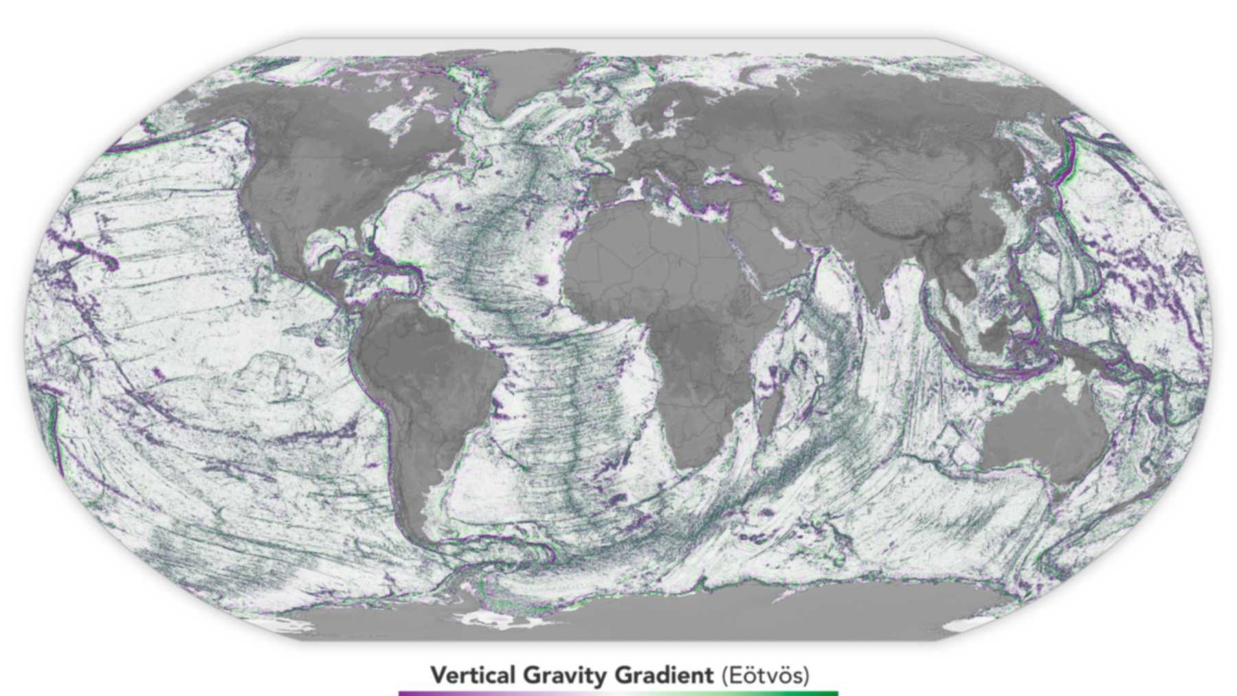
The background mostly comes from satellites. Seamounts and abyssal hills have more mass than their surroundings, NASA Earth Observatory explains, so they exert “a slightly stronger gravitational pull that creates small, measurable bumps in the sea surface above them.” David Sandwell, a geophysicist at Scripps Institution of Oceanography, has used satellite data to chart the bottom of the ocean since the 1990s.
Papua New Guinea sent data this year
On April 20, 2026, Seabed 2030 said 28.7 percent of the world’s ocean floor had been mapped, after almost 5 million square kilometers (1.9 million square miles) were added in a year. Papua New Guinea, where NASA satellites caught an underwater eruption in the Bismarck Sea this summer, contributed data for the first time.
“This update reflects what the global community can achieve when data is shared openly and collaboratively,” Seabed 2030 Director Jamie McMichael-Phillips said in the announcement.
Sandwell’s team now uses a newer satellite, SWOT. “We won’t get the full ship-based mapping done by then,” he said of the 2030 target in an April 2025 NASA Earth Observatory story. “But SWOT will help us fill it in, getting us close to achieving the 2030 objective.”
Nobody has checked this rectangle
NOAA’s page explains grid patterns in general. It says nothing about this picture, and without coordinates no one can match it to a survey. Real sunken towns do get found, like the one archaeologists mapped in 3 to 13 feet of water in Kyrgyzstan’s Lake Issyk-Kul, with streets, public buildings and a cemetery on the bottom.
Waring’s post went up on UFO Sightings Daily on September 8, 2026. NOAA’s explanation of seafloor grid artifacts is on the National Ocean Service website.
Image: NASA Earth Observatory