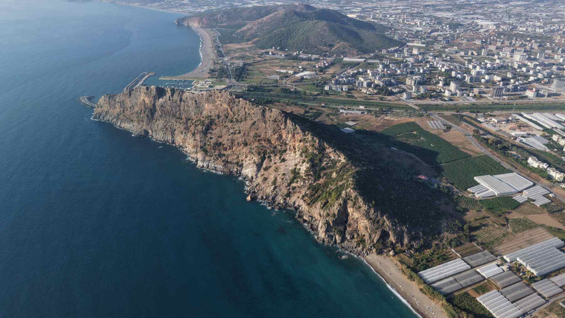
Emperor Trajan died at Selinus, a Roman port on Turkey’s Mediterranean coast, in AD 117. This September, a university team spent two weeks recording what survives of the town, from rock-cut tombs on the hillsides to the walls of the acropolis.
The survey ran from September 7 to 21, 2026, in Gazipaşa, in Antalya province. Alanya Alaaddin Keykubat University led it under permits from Turkey’s Ministry of Culture and Tourism. The university announced the season on October 1, and a later update says digging will follow once the authorities approve it.
Tombs sorted into sectors
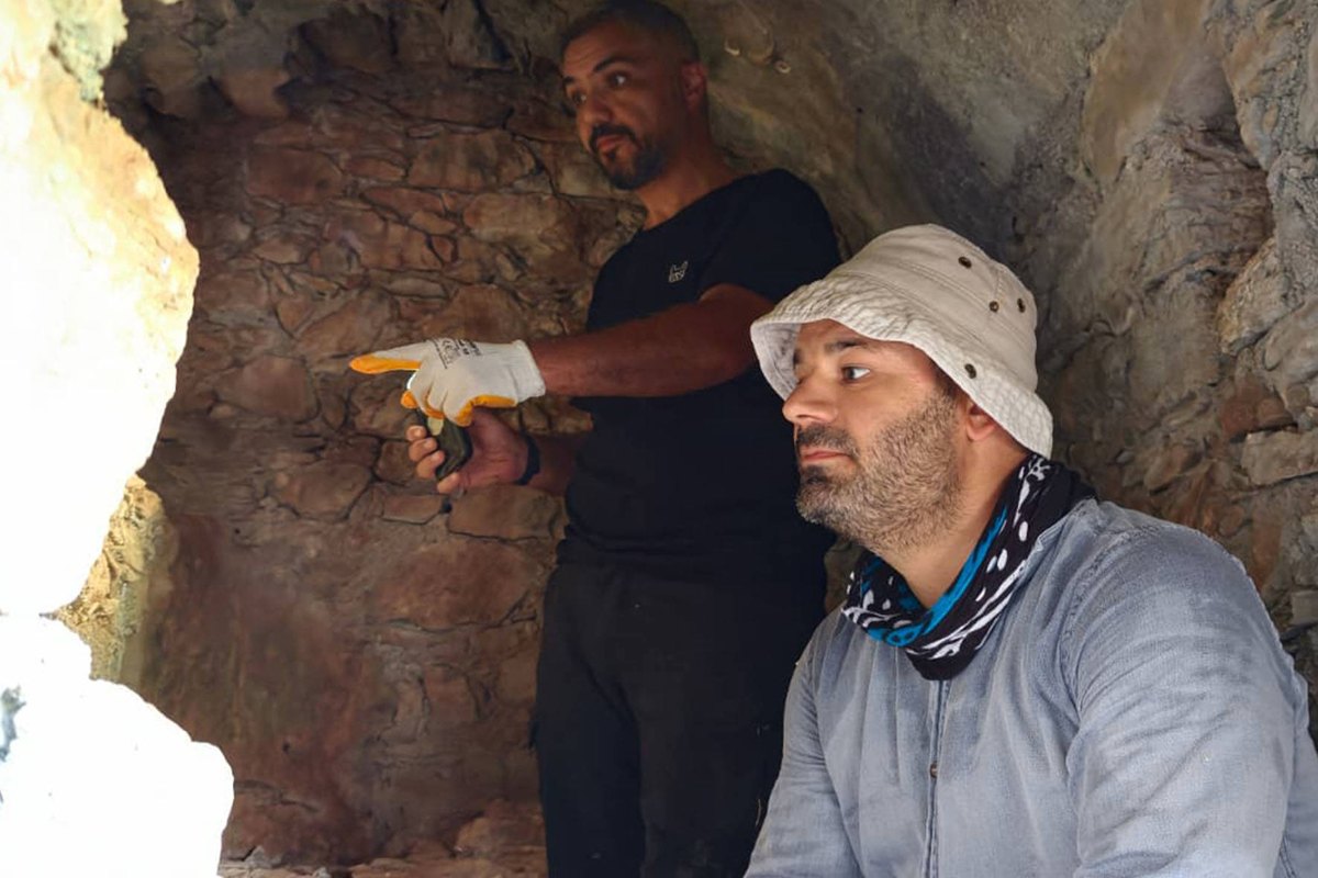
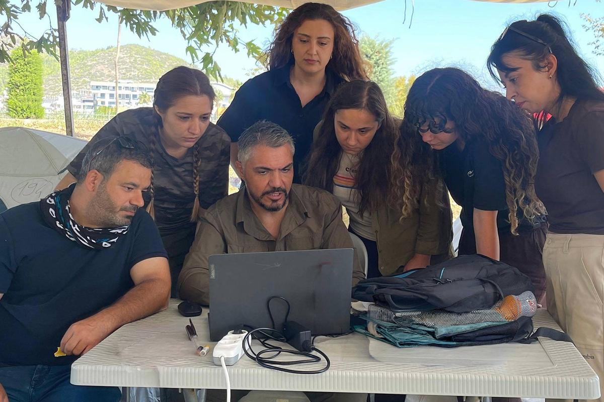
Associate professor Tuna Akçay of the university’s Faculty of Tourism led the fieldwork. His team mixed a philologist, archaeologists, architects and an interior architect. Archaeologist Ferhat Alpaslan joined as the ministry’s representative.
According to Akçay, the season concentrated on the hillside tombs, the acropolis and the defensive walls. It also covered the slopes facing the harbor and the area around the so-called Temple of Trajan. His team split the tomb slopes into sectors.
“The location, architectural features and state of preservation of each tomb were systematically recorded,” Akçay said in the Turkish statement.
An acropolis is the high, fortified core of a Greek or Roman city. At Selinus it crowns a steep headland above the sea. Visitors still climb about 800 steps to reach it, according to the culture ministry’s Antalya office.
Drones, CORS and inscriptions
In the field, the researchers worked with coordinate mapping, topographic data, architectural drawings and photography. They added drone imaging, records of inscriptions carved in stone and a digital archive.
Reading those inscriptions is the job of epigraphy, a field that can recover names, dates and titles. On tombs, such texts can reveal who was laid to rest inside.
The team also took CORS measurements, short for continuously operating reference stations. These fixed receivers log satellite navigation signals around the clock. Surveyors check their own GPS fixes against them, so each tomb lands in the right spot on the map.
Akçay said the goal went beyond listing visible ruins. His aim was a “baseline dataset” covering the city’s cult of the dead, its topography, its transport links and its history.
Trajan’s last stop in Cilicia
Trajan ruled from AD 98 to 117 and pushed the Roman Empire to its greatest size. His wars of 101-102 and 105-106 conquered Dacia, roughly modern Romania. The plunder paid for the grandest of Rome’s imperial forums, opened in 112, says Rome’s heritage office.
In 117 he was sailing home from a campaign against the Parthian Empire when he fell ill. His fleet put in at Selinus, a natural harbor on the coast of Cilicia. The 63-year-old emperor died there on August 8 or 9, the university’s October 16 update says.
Afterward the city took his name, and coins in the Alanya Archaeology Museum still show it. They carry the inscription “Holy City Selinus Traianopolis,” the culture ministry’s page on Selinus notes.
Şekerhane Köşkü, cenotaph or temple
The building most closely tied to Trajan is the Şekerhane Köşkü, later a Seljuk hunting lodge. The ministry calls it a cenotaph, a monument to someone whose body lies elsewhere. In its account, the Seljuks admired the building enough to reuse it.
Michael Hoff, a professor of art history at the University of Nebraska-Lincoln, offered another reading in a 2016 paper in the Journal of Ancient Egyptian Interconnections. He argued it was a temple to the deified Trajan, honored as a god after death. He added that it “may mark the location of the ustrinum for Trajan’s funerary pyre.”
An ustrinum is the spot where Romans burned a body before burial. Hoff’s idea remains a proposal, though. The 2026 survey worked around the temple but reported no new evidence about the pyre.
Gold urn, Roman column
The ministry says the emperor was cremated at Selinus before his ashes traveled to Rome in a gold urn. There, according to that heritage office, the urn went into the base of Trajan’s Column. The column’s carved frieze of the Dacian wars runs about 650 feet (200 meters).
Rome got the urn, then, while Selinus kept the memory of the cremation and a building in Trajan’s name. Scholars still disagree about what that building was, and Hoff’s paper is one voice in the debate.
Digging awaits official approval
This team has not put a trowel in the ground yet, because a surface survey only logs what sits on top. The wider project, announced in March 2025, will run for three years. It covers about 15 square miles (40 square kilometers) and involves more than 50 specialists.
Back then the plan spanned the Hellenistic, Roman, Byzantine and Seljuk periods. Akçay also promised “unmanned aerial vehicle-assisted mapping, 3D modeling, lidar and laser scanning and geophysical methods.” So far the October notes talk about aerial images and a digital archive, and say nothing yet about lidar or geophysics.
The authorities have not yet set an excavation date. Akçay wants the results in museum displays, on cultural routes, in classrooms and online. His team has even offered to visit Gazipaşa’s schools and give talks there.
The official survey announcement was published on the university’s website on October 1, 2026.
Photo: Alanya Alaaddin Keykubat University