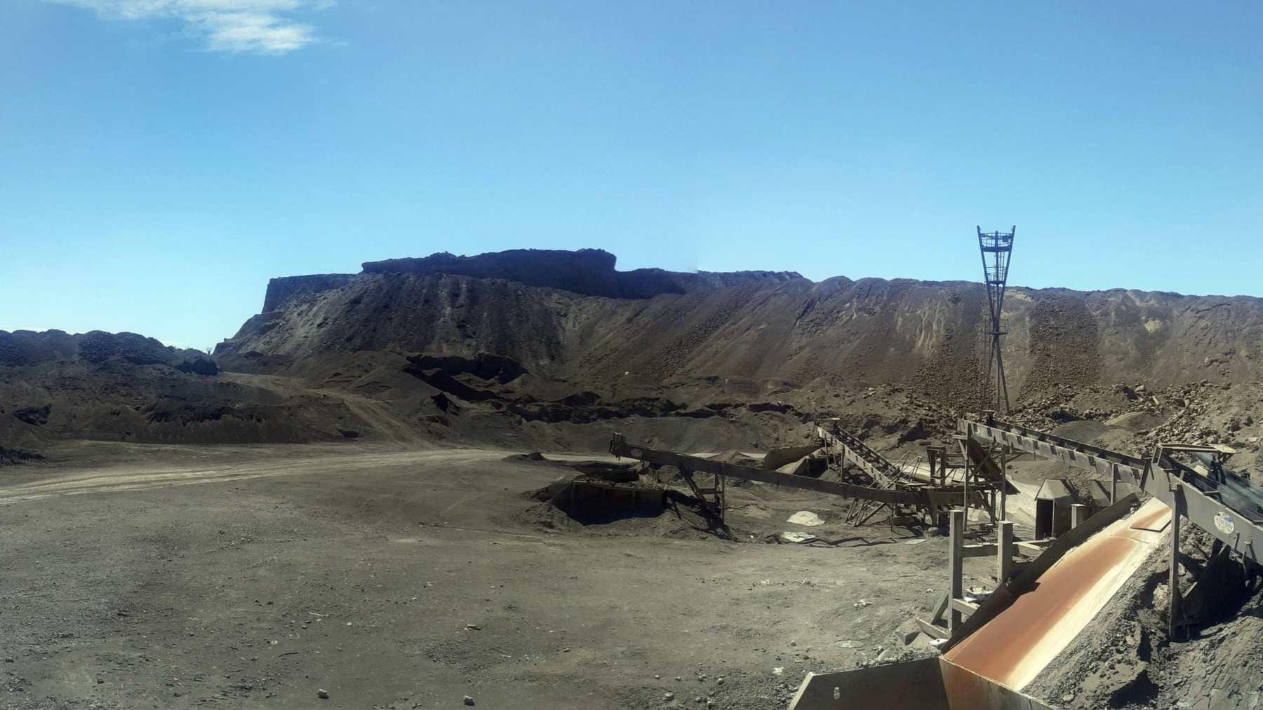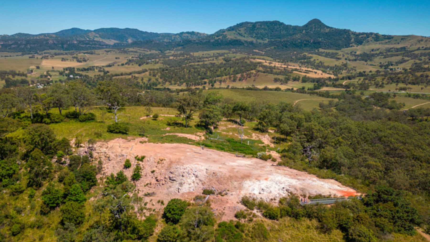
A burning coal seam beneath Burning Mountain Nature Reserve in New South Wales has been smoldering for an estimated 5,500 years, according to the state’s parks service. The reserve lies about 16 miles (25 kilometers) north of Scone. Its fire sits some 100 feet (30 meters) underground and creeps south at roughly 3 feet (1 meter) a year.
That figure appears on the reserve’s public pages. Yet the plan of management adopted for the same site in 1992 gives a minimum of 15,000 years. It even allows for ignition as long as 500,000 years ago, and the park pages never explain the gap.
A farm hand’s volcano in 1828
According to the plan, a local farm hand named Smart made the first recorded non-Aboriginal report in 1828. He claimed the hill, then called Mount Wingen, was an active volcano.
Speculation ran until 1829, when Reverend C.P.N. Wilton identified a burning coal seam. A 2021 article in the journal Aboriginal History reproduces his description of “several chasms varying in width, from which are constantly emitted sulphurous columns of smoke.”
Surveyor Thomas Mitchell came too, and his sketch of the summit still shows where the furnace sat. Local grazier William Abbott later watched the site for 65 years. His written observations appeared in 1918.
Ten miles of spent coal
Studies cited in the plan trace the ignition to an outcrop about 10 miles (16 kilometers) north of the current vent. Two seams caught fire there. Tracking the burning head gave an overall rate of about 3 feet a year, hence the 15,000-year minimum.
At that same speed, 5,500 years would carry the fire only about 3.4 miles (5.5 kilometers). The plan’s upper figure assumes something else. Its authors expect the burn slowed whenever conditions turned against it.
Faults in the seam, seeping groundwater and a lack of oxygen probably interrupted combustion at times. Those pauses “apparently failed to permanently cease combustion,” the plan says.
Suggested causes for the first spark include lightning, Aboriginal campfires and natural forest fire. Such blazes are ancient, and evidence goes back 237 million years. The plan favors another cause, with iron pyrites in the sulfurous coal oxidizing until the heat lit the seam.
Slumped ground and baked clay
Here the seam measures about 6.5 feet (2 meters) thick. Once the coal burns away, the rock above drops in blocks, commonly by 3 to 13 feet (1 to 4 meters). Cracks then open and let air back down to the fire.
Ventilation through those cracks creates what the plan calls a “blast-furnace effect.” Rock right above the coal appears to have reached 2,190 to 3,180 degrees Fahrenheit (1,200 to 1,750 degrees Celsius). Fumes at the vents average 212 to 572 degrees Fahrenheit (100 to 300 degrees Celsius).
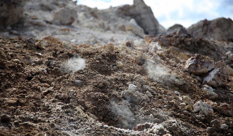
Roughly 1.2 acres (0.5 hectares) around the vent carry no vegetation at all. Tea-tree, lichens and mosses arrive first on cooled ground. Species numbers then rise with distance from the active site.
On lower western slopes, rusty figs grow straight out of the subsidence cracks. Those narrow crevices may hold more moisture, the plan suggests. Life below ground can go unnoticed for a long time, as with the fungus spread through 2,385 acres of Oregon soil.
Tears of fire, then sulfur ointment
Long before any surveyor arrived, the Wanaruah people had their own account, which the parks service retells. A wife waiting for her husband after a battle asked the sky god Biami to take her life. He turned her to stone, and her tears became fire.
Worked stone fragments still lie in the upper soil along the heat-altered path. People may have heated core stones at the vents to make them easier to shape, the plan says. The journal article adds that local people made medicines from the mountain’s sulfur and alum.
The plan dates the trade from the 1890s to the 1960s. Vent gases were condensed into sulfur-rich creams and liquids sold as Winjennia and Sulfazone. Winjennia’s advertising promised cures for 44 ailments, the article reports, among them insect bites, boils and burns.
Two ages, one unmapped fire
Neither number comes with a direct date for the ignition. The park pages name no study behind the 5,500-year estimate. In the relevant passage, the plan credits unnamed “recent studies” from more than 30 years ago.
Any age worked out from distance also depends on a steady burn, which the plan itself doubts. The parks service says the exact location of the fire is still a mystery.
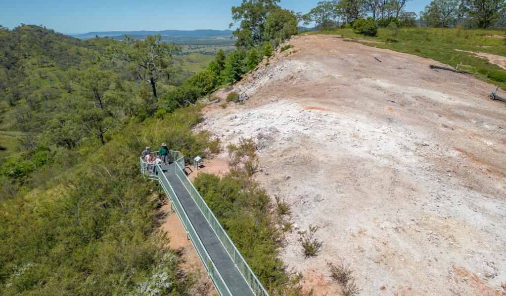
The coal-bearing Koogah Formation is far older than either figure, at 270 to 280 million years. Even that looks recent beside a 4.4-billion-year-old zircon from Western Australia. Visitors can reach the smoking ground on a 2.5-mile (4-kilometer) return track.
The full Burning Mountain Nature Reserve plan of management was published by the NSW National Parks and Wildlife Service in February 1993.
Among its objectives is protecting the seam inside the reserve “so that the processes of combustion can continue.”
Photo: John Spencer / NSW DPE