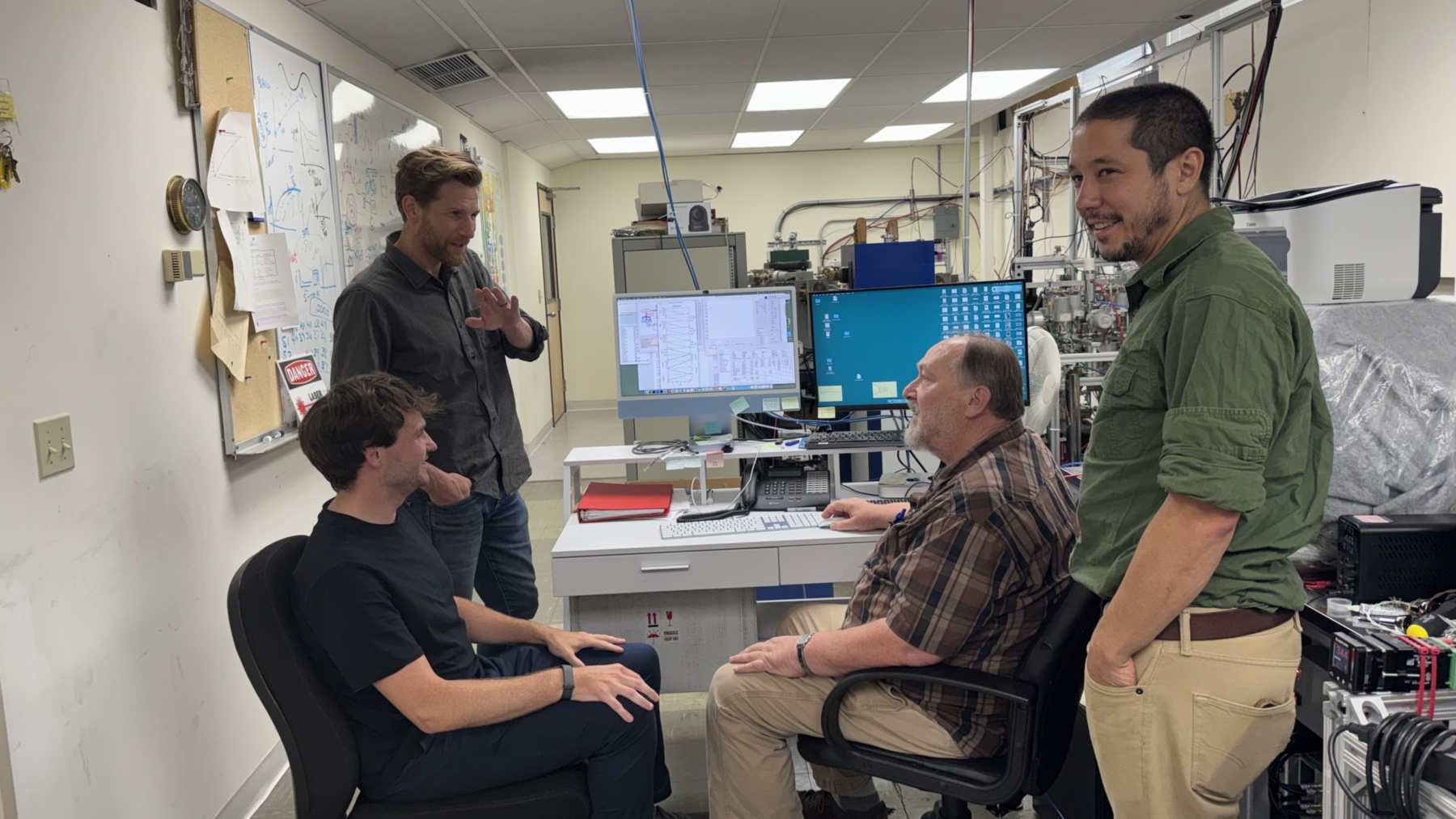
Earth’s crust and mantle shifted rapidly relative to the planet’s spin axis during four intervals over the past 320 million years. That is the finding of a study published October 1, 2026, in Science by four geoscientists at the University of Oslo’s Centre for Planetary Habitability. Their evidence came from ancient seas that flooded some continents while draining away from others.
Associate professor Mathew Domeier, who studies global paleogeography and plate motions, led the work on this process, known as true polar wander, with colleagues Leandro Gallo, Chloé Marcilly and Trond Torsvik.
Two windows in the dinosaur age
The American Association for the Advancement of Science, which publishes the journal, singles out two of the four intervals. One ran from 150 million to 140 million years ago, across the Late Jurassic and Early Cretaceous. The other ran from 100 million to 90 million years ago, in the mid-Cretaceous.
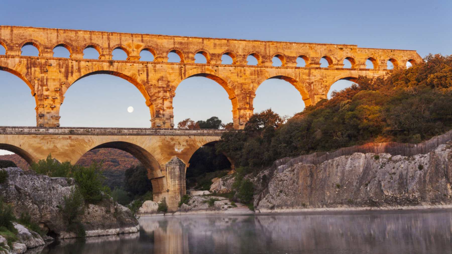
Both fall in the age of dinosaurs, when shallow seas covered large parts of today’s continents.
On a geological clock, “rapid” still means slow. The study describes protracted episodes lasting millions of years.
Crust and mantle move together
Earth is not a perfect sphere, so its rotation depends on how mass is spread around the planet. Continental drift and slow flows in the mantle move that mass. When the balance tips, the solid Earth turns relative to its spin axis, the imaginary line through the North and South poles.
According to the AAAS summary, the crust and mantle shift as one block during true polar wander. The spin axis and the climate belts stay put. A continent can therefore slide into a new latitude, and a new climate, without its plate moving against its neighbors.
Magnetic north is a different matter, since the magnetic poles wander on their own schedule. Neither is it the same as plates pulling apart along their edges.
Seas rising in two quadrants
Paleomagnetism, the ancient magnetic field frozen into lava and sediment, has been the usual tool for spotting past polar wander. Its weak spot, per the AAAS release, is that plain tectonic motion can leave the same fingerprint. So far the answers have swung from “negligible or slow” wander to short, large reorientations.
So Domeier and his colleagues went looking at old coastlines. A spinning planet bulges, and when the solid Earth turns under that bulge, seawater gets pushed around. The abstract calls the resulting sea level swings “an independent test.”
Picture the globe split into four quarters. Water climbs in two opposite quarters and drops in the other two, a layout geologists call quadrupolar, and rocks keep it as flooded lowlands in some quarters and newly dry land in others.
The team pulled maps of flooded and exposed land at 10-million-year steps, all the way back 320 million years. Then they ran the statistics to see which maps fit that four-quarter shape.
One flooded coast proves little, since land can rise or sink for local reasons. What counted was rising and falling water in the predicted places, across the whole globe.
Pangea’s drift shows no signal
According to AAAS, the results broadly agree with earlier paleomagnetic and plate-motion studies that proposed rapid episodes. The authors go further, writing that “these findings refute the view of TPW as negligible or persistently slow”.
Some of the clearest results are absences, and the analysis found little evidence for rapid true polar wander during most of the Cenozoic, the era that began about 66 million years ago.
It also found no significant signal for a long-standing idea about Pangea, the last supercontinent. Some researchers had tied its fast northward movement in the late Carboniferous and Permian mainly to true polar wander. The new results challenge that explanation.
The overall picture is a planet with active spells and long quiet stretches. In the abstract, the team writes that links among Earth’s rotation, mantle processes and surface environments “can be strongly episodic.”
About 4 inches a year today
According to the abstract, true polar wander is still under way at roughly 10 centimeters (about 4 inches) per year. That beats the average speed at which tectonic plates move against one another.
NASA’s Jet Propulsion Laboratory reports that the spin axis now sits about 30 feet (10 meters) from where it was in 1900, toward Canada’s Baffin Bay, in a separate record of shorter-term polar motion. JPL ties the recent drift to melting ice sheets and shrinking aquifers.
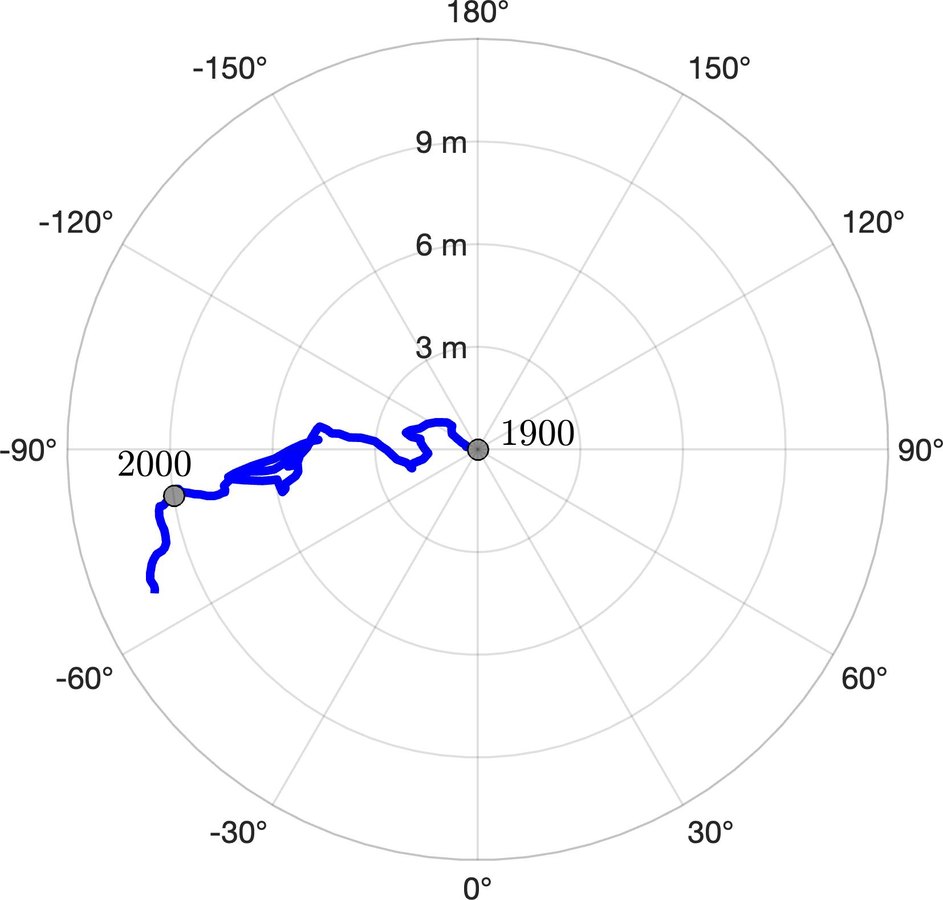
Even big human projects register, as estimates for China’s Three Gorges Dam have shown. Such effects are tiny next to the pace of true polar wander reported in the study.
Ten-million-year steps blur the timing
With maps in 10-million-year slices, each interval marks a window of activity. It cannot show exactly when an episode began or how long it lasted. The full paper is paywalled, and its public summaries do not give the dates of the other two intervals.
The study also stops short of linking any episode to a specific climate shift or mass extinction. The authors call true polar wander an episodic control on sea level change “and likely other global environmental and biological dynamics.” Later studies will have to test that case by case.
Nor does the shoreline record work as a forecast, since nothing in the analysis predicts when another rapid episode might begin.
The full study was published in Science.
Photo: NASA