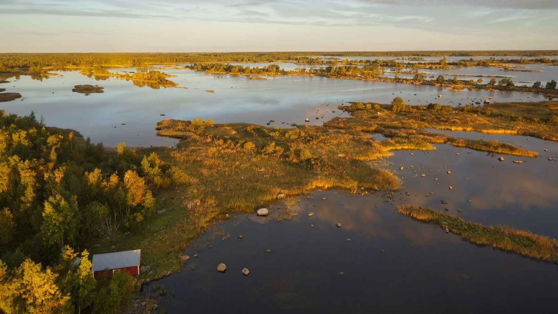
Finland’s western coast is still rising from the sea, exposing dry ground thousands of years after the last ice age. But for people who own waterfront property, there is a surprising catch. The new strip appearing beyond their yard does not automatically become theirs.
Around the Gulf of Bothnia, an estimate cited by NASA puts newly exposed land at roughly 700 hectares (about 1,730 acres) each year, approximately twice the size of New York City’s Central Park. That slow transformation can leave a coastal property separated from the water by land belonging to someone else.
An ice age is still lifting the coast
During the last ice age, an enormous ice sheet weighed down this region. NASA says the pressure pushed the land downward by more than 500 meters (about 1,600 feet).
When the ice retreated more than 10,000 years ago, the ground began recovering. Picture a mattress slowly regaining its shape after someone gets up, except this recovery involves Earth’s crust and takes thousands of years.
Finland’s National Land Survey puts the fastest uplift near Kvarken at almost one centimeter (0.4 inches) per year, compared with less than three millimeters in southeastern Finland. Those figures describe vertical movement, not an annual increase in the width of someone’s yard. The agency estimates that roughly 100 meters (330 feet) of uplift could still remain near the Gulf of Bothnia, so this geological adjustment is far from finished.
Who owns the land that appears?
The Finnish term for former water areas that have become dry land is vesijättö, often called a “reliction area” in English. According to the National Land Survey, it commonly develops through land uplift, falling water levels, or waterways gradually becoming overgrown.
Ownership generally remains with whoever owned the original water area. Often, that means a group of property owners sharing a jointly owned water area, commonly organized as an osakaskunta, rather than the person whose cottage happens to face the emerging ground.
This is not necessarily ownerless land waiting for someone to claim it. The important distinction is that the landscape has changed, while the ownership has not automatically followed.
The shoreline moves, but the boundary does not
The National Land Survey’s April 2026 guidance states the rule plainly. “However, the boundaries of the property do not automatically change when the natural environment changes.”
For a homeowner, that can mean keeping the same property while losing direct contact between its boundary and the water. The practical question is not simply how much new ground has appeared, but whether the property actually includes it.
People noticed the consequences of moving shorelines long before modern property surveys. The agency records complaints from residents of Östhammar, Sweden, in 1491, when the retreating shoreline had left the town’s old harbor unusable.
Homeowners can apply to acquire the strip
An eligible property owner can apply to acquire adjacent reliction land through a formal process handled by the National Land Survey. This procedure, known as redemption, is not an automatic entitlement to every newly exposed patch.
A surveyor determines whether the requested area qualifies, assesses its value, and establishes the compensation payable. After the process is completed, the new information is entered into the property register. The agency estimates a timeline of about seven months, although timing varies and winter can delay field measurements.
There is also a bill. The agency’s current guidance gives an average procedural cost of about €2,000 to €3,000 for a cottage plot, with the amount varying by case. Compensation to the existing landowner and any applicable taxes come on top, so that figure is not the total purchase price.
What coastal owners should keep in mind
Before planning shoreline work or a new dock, the agency advises checking the property’s boundaries and whether a reliction area lies in front of it. A clear view of the sea does not, by itself, establish ownership of all the ground between the cottage and the water.
The geological picture also needs perspective. NASA notes that future shoreline changes will depend partly on how much rising sea levels offset the uplift, so Finland’s emerging coast should not be mistaken for evidence that oceans everywhere are falling.
For residents, the useful distinction is simple. Nature can redraw the coast without rewriting the property records.
The press release explaining these ownership checks was published on the National Land Survey of Finland website on April 16, 2026.