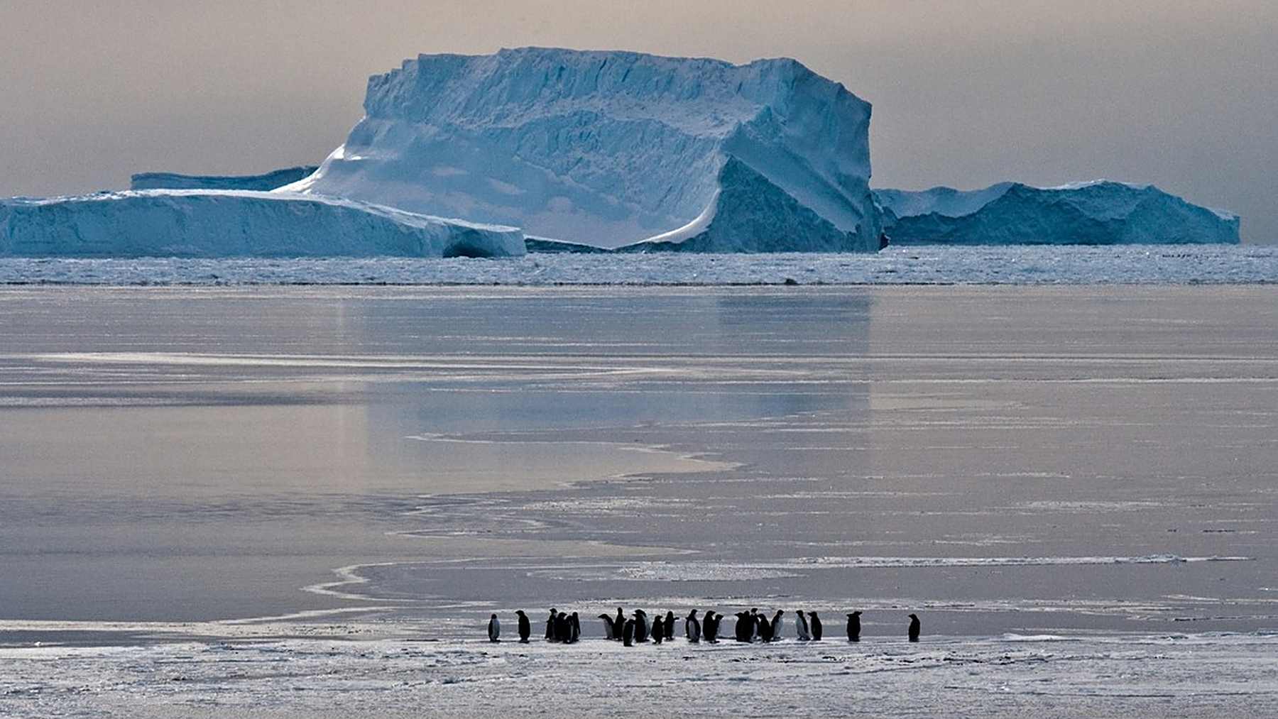
Australian scientists have built the first high-resolution map of grounded icebergs around the whole of Antarctica. Working from satellite radar images taken between late February and early April 2025, they counted 39,619 icebergs that stayed in one place.
The dataset came out in Earth System Science Data on August 25, 2026, as one of the journal’s highlight papers. Small bergs, which most surveys skip, make up the bulk of it, and the authors think their packed clusters may help pin coastal sea ice in place.
An AI trained on radar
Kaihong Jiao led the work as a master’s project with the Australian Antarctic Program Partnership (AAPP) at the University of Tasmania. His co-authors came from the Institute for Marine and Antarctic Studies, the Australian Antarctic Division and Geoscience Australia.
“Traditionally, iceberg monitoring has relied heavily on manual analysis of satellite imagery,” Jiao said in the AAPP announcement released in September. Before his project, no complete large-scale map of these bergs existed.
The team trained a deep-learning network to find icebergs in images from Sentinel-1, a European radar satellite that sees through cloud. Then the team’s code lined up pictures of the same spot taken on different dates and threw out any berg that had drifted. Depth charts of the seafloor and sea ice maps cut the remaining false alarms.
In tests along the coast of Adélie Land, the detector scored above 0.91 on the F1 scale. F1 runs from 0 to 1 and punishes both missed bergs and false hits. The system also caught bergs as small as 0.016 square kilometers, or about four acres.
Fast ice at a record low
Sorting out which still bergs were really aground was the hard part. A berg may rest its keel on the seabed, or it may be locked inside frozen sea ice, and on radar both look motionless.
According to the study, 2025 brought the lowest summertime extent of fast ice on record. With so little ice around, many motionless bergs sat in open water. In that setting, only contact with the bottom explains why they stayed put.
Using that test, the team rated 67.4 percent of the 39,619 targets as grounded with high confidence. The rest were filed as candidates that fast ice may simply have been holding.
Tiny bergs, most of the area
Together, the mapped bergs cover 13,430 square kilometers (about 5,185 square miles). They appear along 56.5 percent of the Antarctic coastline. Yet just 14.2 percent of the coast holds 80 percent of them.
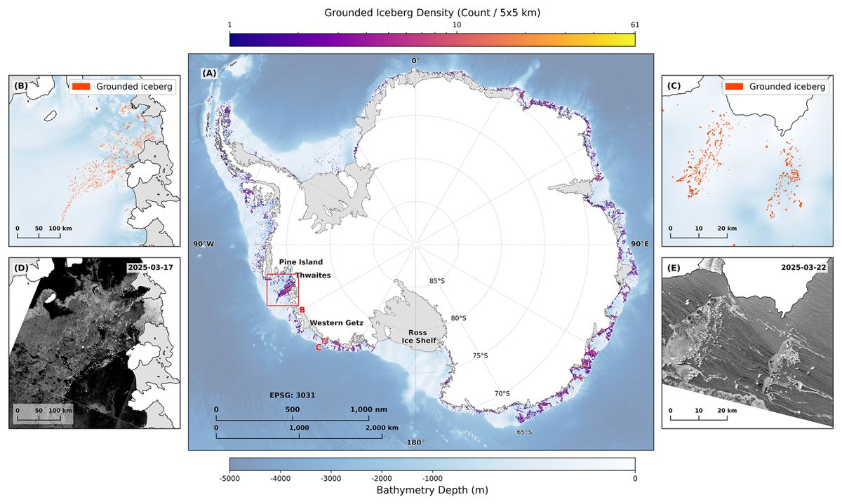
Near Thwaites Glacier and Fram Bank, the study found up to 41 grounded bergs in a single 25-square-kilometer cell (about 9.7 square miles). These chains line up on shallow banks downstream of ice shelves that are breaking apart. Deep troughs such as Pine Island Trough hold very few.
“We discovered that tiny, frequently overlooked icebergs less than one square kilometre in size actually dominate both the total number and area,” Jiao said. Bergs under 1 square kilometer (0.39 square miles) make up 92.6 percent of the count and 53.9 percent of the mapped area.
Posts along a frozen fence
Fast ice is sea ice that stays attached to the shore, to an ice front or to grounded icebergs. The Australian Antarctic Program describes it as a belt around the coast. That belt regulates how ice shelves and glaciers flow into the sea.
In the densest hotspots, the authors write, the clustering “creates a ‘picket fence effect’, acting as a series of physical anchors to stabilise fast ice and restrict its drift.” Each berg works like a post. Together they catch sea ice that would otherwise break off and float away.
That matters for the ice shelves behind them. A 2018 study led by Rob Massom of the Australian Antarctic Division linked sea ice loss on the Antarctic Peninsula to swells that helped break up ice shelves. Those shelves slow the glaciers behind them, and warm water is already thinning the Ross Ice Shelf from below.
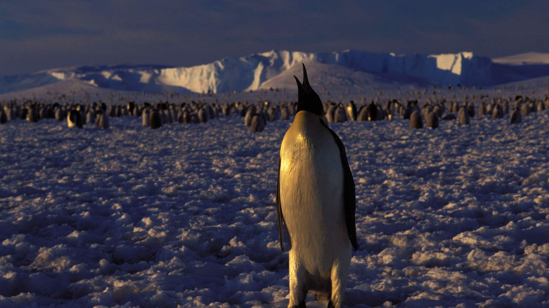
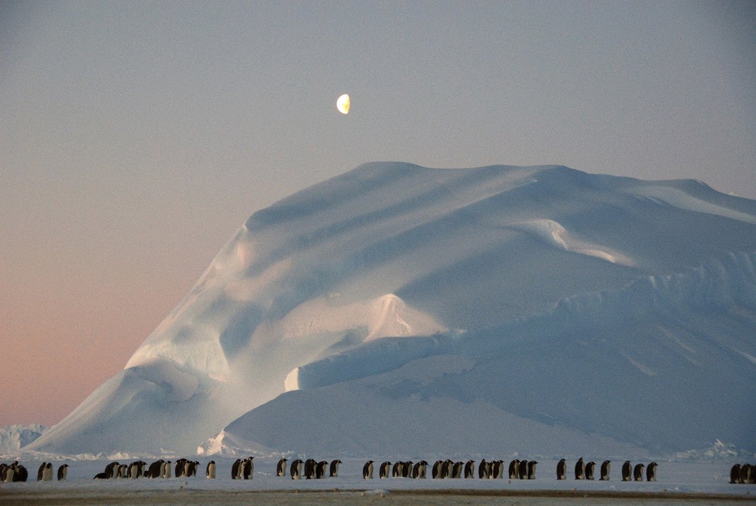
Wildlife depends on the same ice. In spring, zooplankton feed on algae inside fast ice, the Australian Antarctic Program notes. Emperor penguins breed on it, and Weddell seals give birth on its surface.
Icebergs also release iron, a nutrient that feeds plankton in nearby water. Satellites already track how penguin diets shift across Antarctica’s food web. The authors say their map can now anchor studies of nutrient flows and of seafloor habitats.
Melting could pull posts loose
The same small bergs that hold the fence together may be the first to go. Compared with large tabular bergs, tiny ones carry far less mass and store less heat. The authors write that they are “more susceptible to rapid volume loss, disintegration, and subsequent ‘ungrounding’ in response to ocean warming.”
If enough posts float off in a few crowded zones, the study suggests, the fast ice there could change abruptly. Antarctic fast ice has already declined sharply in recent years. Surveys have also tallied trillions of tons of polar ice loss since 1979.
“Our public dataset offers a crucial new baseline for modelling coastal ice stability and understanding broader environmental changes,” Jiao said. The files are free to download from the data catalogue of the University of Tasmania’s marine institute.
Which bergs truly touch bottom
Roughly a third of the 39,619 targets remain uncertain. Fast ice around them could explain their stillness without any contact with the seabed.
The map is also a snapshot of a few weeks in 2025. It cannot yet say which clusters last for years and which drift off within a season.
The size figures carry a caveat as well. The model could not fully outline large and giant bergs, the authors note, so the share credited to tiny ones is likely inflated. Where bergs crowd together, the detector now and then fused two neighbors into a single shape.
Nor does the study predict when any ice shelf might weaken. Repeat surveys with the same method could show whether the dense chains near Thwaites and Fram Bank hold or start to break up.
The full study was published in Earth System Science Data.
Photo: David Barringhaus / Australian Antarctic Division