Most lost-city stories begin with machetes, mud, and a team cutting through dense forest. This one began with a doctoral student scrolling deep into Google results, the kind of internet rabbit hole most of us abandon long before page two.
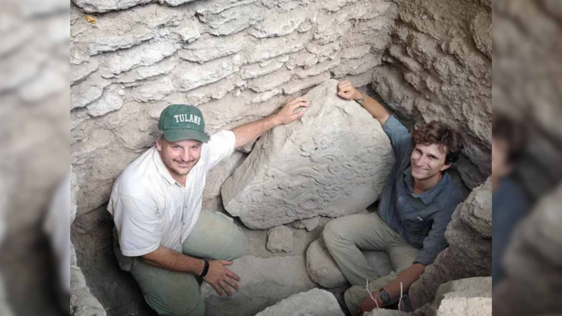
In 2024, Luke Auld-Thomas, then a Tulane University anthropology doctoral student, said he was on “something like page 16 of Google search” when he found a forest-monitoring lidar survey that no archaeologist had fully mined for Maya history. That old dataset pointed to Valeriana, a previously undocumented Maya city in the forests of Campeche, Mexico.
How the city appeared
The clue was not collected for archaeology at all. The laser scans came from a 2013 forest and carbon project tied to Mexico REDD+, a program meant to study forests and the carbon they store.
Woodwell Climate later described the twist neatly. One team was looking at forests, while another researcher realized the same data could show what was hidden underneath them. Yesterday’s environmental file became today’s archaeological map.
Lidar means light detection and ranging. It sends laser pulses from an aircraft and measures how fast they bounce back, allowing researchers to build a detailed three-dimensional picture of the ground.
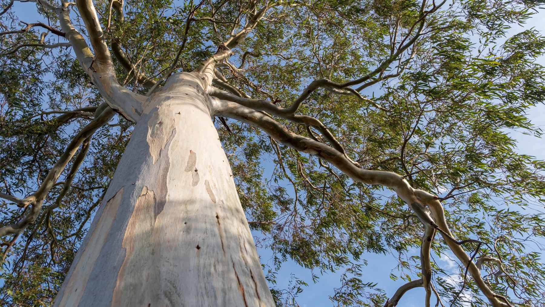
That matters in a jungle. Trees can hide a stone platform from the human eye, but lidar can reveal the shape of that platform on a screen.
What Valeriana looks like
Valeriana covers about 6.4 square miles and appears to belong to the Classic Maya period, which ran from about AD 250 to AD 900. Mexico’s National Institute of Anthropology and History (INAH) said the settlement includes agricultural remains and structures typical of a Maya site from that era.
The city has two main zones of monumental architecture. The larger one includes enclosed plazas, temple pyramids, a ball court, a broad causeway, and a reservoir created by damming a seasonal stream.
That reservoir is an important clue. It suggests people were not just living there, but managing water and reshaping the landscape to support a large community.
A crowded Maya landscape
Across about 47 square miles of lidar coverage in Campeche, Mexican officials reported 6,479 structures. Tulane’s release described the broader result as evidence of more than 6,500 pre-Hispanic structures, including a previously unknown large city with stone pyramids.
Those numbers change the feel of the story. Valeriana is not just a lonely ruin under the trees. It appears to have been part of a busy landscape where rural settlements, farms, roads, reservoirs, and dense urban centers sat closer together than the forest suggests today.
Marcello Canuto, a co-author of the research, said lidar is showing that the lowland Maya built “a diverse tapestry of towns and communities” across tropical terrain. That is a quiet but important shift. The jungle was not empty.
Why page 16 mattered
The discovery also says something about modern archaeology. Not every big find now begins with a plane ticket, a campsite, and weeks of fieldwork.
Sometimes the first step is asking whether someone already collected useful data for a completely different reason. That is what makes Valeriana feel so oddly modern. A lost city was hiding in plain sight, not only under the forest, but inside an online archive.
This is part of a bigger lidar revolution. In 2013, researchers used lidar to reveal hidden landscapes around Angkor in Cambodia, while a 2018 study in northern Guatemala identified more than 60,000 structures across about 828 square miles.
What still needs checking
For all its power, a laser map is not the same as excavation. It can show shapes on the ground, but it cannot always prove what every feature was used for or when all of them were occupied.
That is why outside experts have urged caution. The Associated Press reported that some mapped features will need confirmation on the ground, because lidar can reveal surface forms but not the full story of their age, use, or history.
INAH has also said field reconnaissance should help guide research, conservation, and public communication about the site. In other words, Valeriana is both a discovery and a responsibility.
More cities may wait
At the end of the day, the surprise is not only that Valeriana was missed. It is that it was missed near roads, farms, and towns where people have lived and worked for years.
Anyone who has fallen down a search-results rabbit hole can understand the strange human part of the story. The difference is that this time, clicking deeper helped reveal a city.
The lesson is not that every green patch on a map hides a metropolis. It is more careful than that. Valeriana shows that old data, fresh questions, and patient attention can still change what we think we know about the past.
The full study was published in Antiquity.