A field can look perfectly ordinary from the roadside. What if that “blank” patchwork of crops is hiding a prehistoric cemetery and the remains of nearby homes?
Researchers using remote sensing, which is a way of “seeing” the ground from the air and the surface without digging, have identified Neolithic long barrows that are about 5,000 years old, along with thousands of other traces.
Led by Petr Krištuf with Tomáš Kroupa, Peter Milo, Jan Havelka, Jan Turek, and Martin Gojda, the project links the University of West Bohemia in Pilsen, Masaryk University, and Charles University. The team’s bottom line is that even heavily farmed land still preserves a readable layout of where people lived and where they placed their dead.
A map under the plow
If you have ever watched a tractor work a flat field, it is easy to assume anything ancient has been ground away. The new results suggest the story is more complicated, and more hopeful.
In the research area in northwestern Bohemia, the team identified 2,918 archaeological “features,” meaning faint traces that can point to ditches, pits, enclosures, or building remains. Those features formed four main concentrations, and the likely settlement area stood apart from funerary zones by about 1,600 to 3,300 feet, which is about 500 to 1,000 meters.
Read More: {{post_title link:post}}
Among the most eye-catching finds were long barrows, elongated burial mounds built in the Neolithic, or New Stone Age, often around 3000 BCE. In simple terms, these were some of the earliest large-scale tomb monuments in the region. They mattered socially because they turned death into something visible and lasting, even if the mound itself is now almost flat.
How you “see” a buried monument
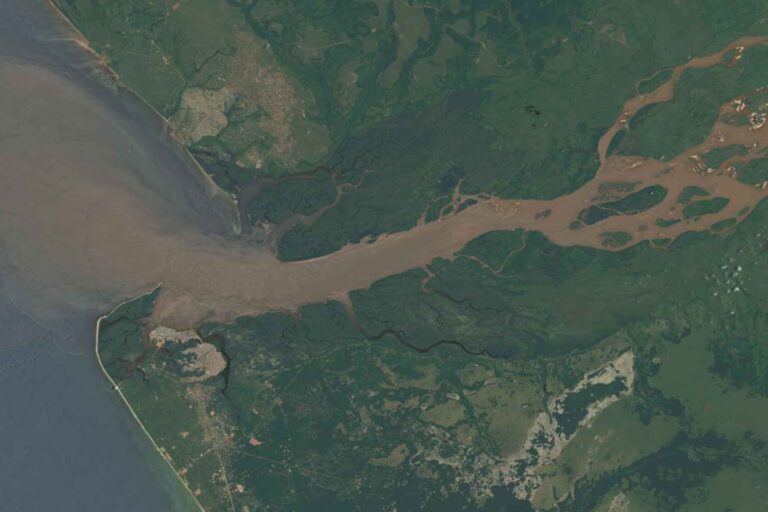
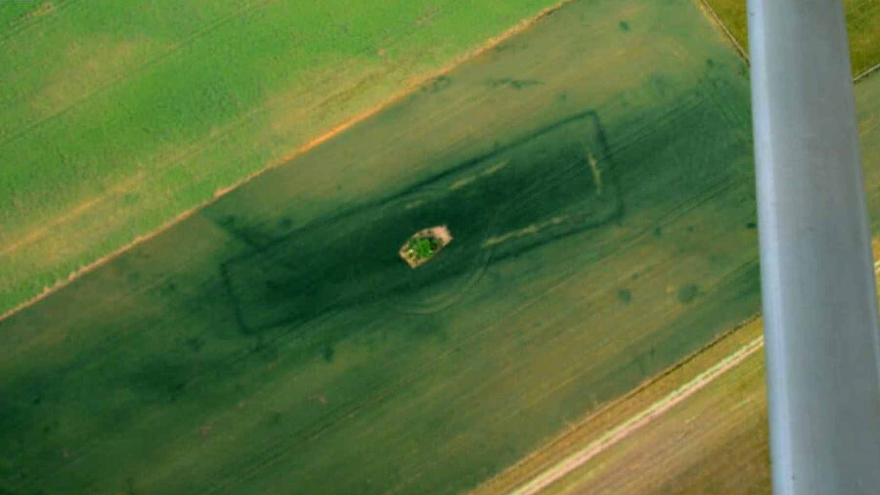
Remote sensing can sound like science fiction, but the logic is down to earth. Different soils hold water differently, and plants react to that. After rain or during a dry spell, crops can grow taller, greener, or thinner in places where an ancient ditch or pit changed the ground.
That is why oblique aerial photography, taken at an angle rather than straight down, plays such a big role. It can reveal cropmarks, which are patterns in plant growth that trace buried shapes.
A 2012 paper on cropmarks showed how common field crops can act like accidental “detectors,” outlining buried structures as the growing season shifts.
The Bohemia project layered those photos with magnetometry and airborne laser scanning, also known as LiDAR. Magnetometry measures tiny differences in the soil’s magnetic signal, which can hint at filled-in ditches or activity areas, while LiDAR can pick up surface changes down to about an inch, which is a few centimeters.
Put together, the methods work like overlapping filters, each catching what the others might miss.
Long barrows near Mount Říp
The study focused closely on two long barrows near Mount Říp, a prominent hill that has long stood out in the local landscape. The barrows are known as Dušníky 1 and Nížebohy, and neither is a dramatic mound you could spot by walking the fields today.
Read More: {{post_title link:post}}
Instead, their outlines emerge when aerial patterns, magnetic signals, and micro-topography are viewed side by side.
This matters because it moves the conversation beyond simple site detection. The researchers could reconstruct parts of the monuments’ original footprints, including boundary lines that likely marked the edges of the burial construction. In practical terms, that helps archaeologists separate a true burial monument from a random mark left by modern farming.
The broader survey also picked up other circular and linear features that fit with later burial activity in the same zones. It suggests the landscape was not used once and forgotten, but revisited and reworked over long stretches of prehistory.
A clear boundary between homes and graves
Once the settlement traces appear, the spacing tells its own story. Burial monuments sit far enough away that the walk was likely intentional, more like heading to a special place than stepping outside your house.
That kind of separation is hard to see with a shovel in a single trench, but it becomes obvious at landscape scale.
The pattern supports the idea that long barrows were deliberately built at the margins of settlement zones, creating a buffer between the living and the dead. The researchers argue that this division was maintained and renegotiated over very long periods, which hints at deep cultural rules about where certain activities belonged.
Earlier work had pointed in the same direction using a different approach. In a 2023 soil analysis project, researchers used 1,085 soil samples and found chemical traces that fit with settlement activity in some areas, but not around the barrows, and magnetometry backed that up. Sometimes, the ground itself keeps the receipt of where people lived day to day.
Why these finds matter beyond Bohemia
For archaeology, the headline is not only that long barrows can be detected. It is that whole settlement systems, including ritual areas, can be reconstructed even when the surface looks erased.
Read More: {{post_title link:post}}
There is also a bigger lesson about scale. When thousands of features show up across modern fields, it suggests prehistoric activity was denser and more structured than older surveys sometimes implied. And once you start seeing patterns in one region, it becomes easier to ask smarter questions in another.
Bohemia is not starting from scratch on this topic. A 2024 Archaeologies paper reported new evidence of Neolithic funerary monuments in the region and emphasized how non-invasive tools have expanded the known record, including cases where parts of mounds survive at measurable height.
That wider context makes the latest results feel less like a lucky break and more like the next step in a fast-moving toolset.
The main study has been published in Archaeological Prospection.