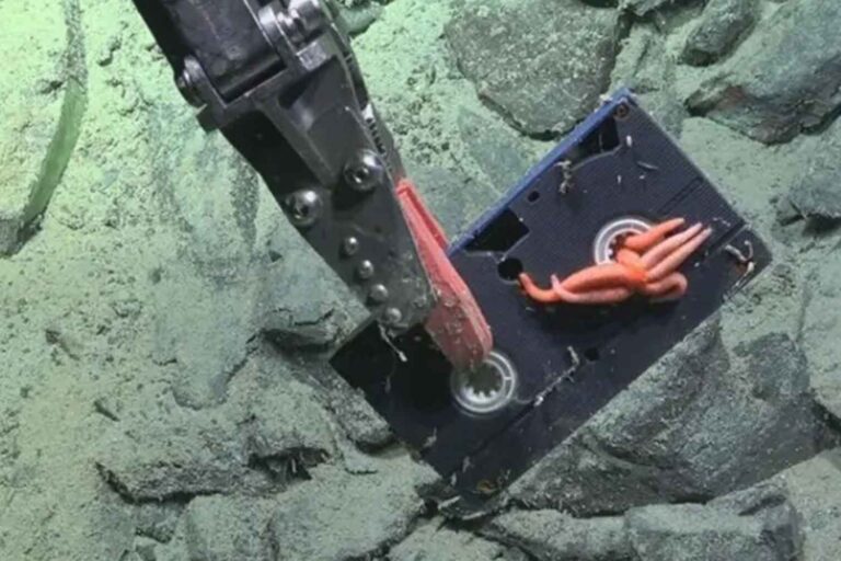
Ran, a robot submarine sent beneath West Antarctica’s Dotson Ice Shelf, returned a set of rare maps before it failed to resurface during a later mission. The vehicle found hidden terraces, channels, fractures, and teardrop-shaped hollows on the underside of the ice, a rough underground landscape that satellites could not see.
The discovery matters because ice shelves are not just frozen scenery. They act like braces for glaciers on land, and when warm ocean water eats them from below, those glaciers can flow faster into the sea. That is where Ran’s lost mission becomes more than a strange Antarctic story.
Ran’s mission under Dotson
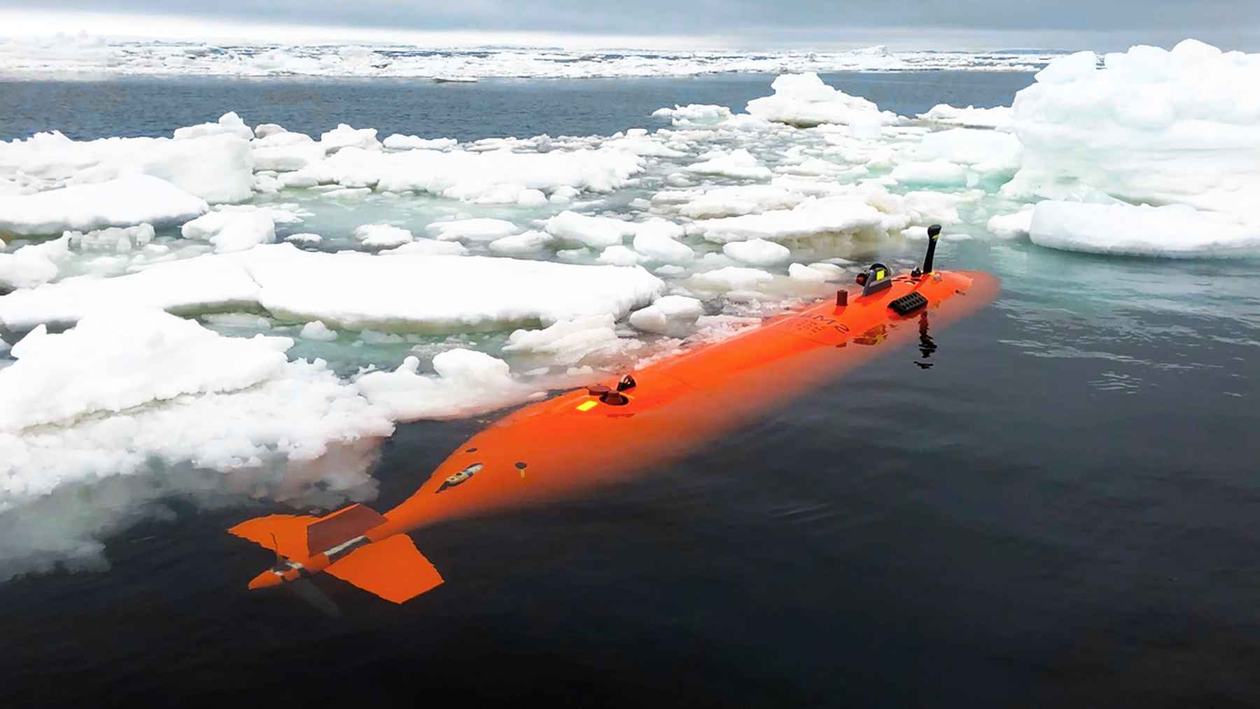
Ran was an autonomous underwater vehicle, which means it could travel without a pilot or cable. In 2022, the sub spent 27 days moving under the floating ice of Dotson, scanning the ceiling above it with sonar, a mapping tool that uses sound.
Read More: {{post_title link:post}}
The work was led by Anna Wåhlin, a professor of oceanography at the University of Gothenburg. Ran traveled more than 620 miles back and forth under the glacier and reached about 11 miles into the hidden cavity, according to the university’s account of the expedition.
What the robot saw
The underside of Dotson was not smooth. Ran mapped about 54 square miles and found flat plateaus, step-like terraces, channels, and rounded pits shaped like teardrops.
That is a big deal because satellites can watch the surface of an ice shelf, but they cannot easily see the ceiling of the ocean cavity beneath it. Wåhlin compared the new view to seeing “the back of the moon” for the first time.
Some of those shapes appear to form where melting happens slowly. Others seem to come from faster currents that scrape and smooth the ice from below, almost like water carving patterns into sand at the beach.
Warm water is the driver
The key process is called basal melting. In simple terms, it means the ice is melting from underneath instead of from the top.
Read More: {{post_title link:post}}
Around Antarctica, warm and salty deep water can move onto the continental shelf and reach the base of floating ice. Under Dotson, that heat appears to strike the western side harder, while the eastern side remains thicker and melts more slowly.
Ran helped explain that uneven pattern. The robot measured currents below the ice, giving scientists direct evidence for why one side of the shelf is losing ice faster than the other.
Terraces and teardrops
In slower water, the ice base can look like stacked ledges. These terraces may form as slightly warmer water arrives in pulses and slowly strips away layers over many years.
In faster outflow areas, the picture changes. Turbulence, which is messy mixing in moving water, can create smoother surfaces with grooves and scooped-out depressions.
Some pits are roughly 980 feet long and 165 feet deep. Those are not tiny scratches. They are hidden scars in the ice, formed far from sunlight and far from any human observer.
Fractures can become highways
Ran also mapped full-depth cracks that cut through the ice shelf. Some of these fractures have been visible in satellite records since the 1990s, but the sub showed what was happening at their bases.
In narrow cracks, moving water can press heat against the ice walls. Over time, those cracks may widen from below and become hidden highways for ice loss.
That is one reason simple melt models can miss important details. If a model treats the underside of an ice shelf like a flat slab, it may overlook the way channels, terraces, and fractures steer heat into certain weak spots.
Why sea level forecasts care
What does this mean for people far from Antarctica? For the most part, it comes down to sea level.
The study does not say Dotson alone will reshape coastlines overnight. But it does show how complicated the hidden plumbing beneath an ice shelf can be, and that matters for forecasts used by coastal planners, insurers, and cities.
Dotson is part of the West Antarctic Ice Sheet, a region scientists watch closely because many of its glaciers sit in deep basins that warm water can reach. When floating shelves thin or break, the land ice behind them can speed up, adding more water to the ocean.
The submarine never came back
Ran’s work was risky from the start. Radio signals and GPS cannot pass through hundreds of feet of solid ice, so the vehicle had to follow planned routes and rely on onboard navigation.
In January 2024, the team returned to repeat the surveys and look for changes. Ran completed one dive, then disappeared without a trace during another mission under the ice.
Searches using acoustic equipment, a helicopter, and drones found nothing. Wåhlin later said the team had to give up, adding that Ran is likely still deep under Dotson.
A rare map with a warning
The loss of Ran was a serious blow, but the data it sent back is still valuable. It gives scientists one of the clearest looks yet at how ocean water attacks Antarctic ice from below.
Read More: {{post_title link:post}}
Karen Alley, a glaciologist at the University of Manitoba, said Ran uncovered “a more extensive and complete picture” of ice shelf bases than researchers had before. That picture is not neat, and that is the point.
At the end of the day, the robot’s maps suggest that future models need to treat the underside of ice shelves as complex terrain, not a smooth sheet.
The main study has been published in Science Advances.