The Iberian Peninsula is moving, even if it feels rock solid when you step outside. A new open-access analysis suggests Spain and Portugal are part of a crustal block that is rotating clockwise while Africa pushes toward Eurasia. The shift is tiny, but it helps explain why earthquake hazard in the region is spread across a wide zone instead of one obvious fault.
So what changed? Researchers combined decades of satellite positioning with a much larger set of earthquake data than most past maps used. The result is a sharper, more detailed picture of where the crust is being squeezed, stretched, or sheared in the Atlantic and the western Mediterranean.
Two datasets, one clearer story
The research, available at doi.org/10.1016/j.gr.2025.08.020, was led by geologist Asier Madarieta-Txurruka and included coauthor Mimmo Palano. Open-access funding was provided by the University of the Basque Country, which helps keep the work transparent and reusable.
The team paired seismology with geodesy. In simple terms, they compared “stress,” the forces pushing and pulling inside the crust, with “strain,” the way the crust actually changes shape over time. When both line up, scientists can better tell where motion is being stored quietly versus released in earthquakes.
How the team measured the forces
To map stress, the researchers compiled about 2,200 earthquake focal mechanisms from 1910 to 2024, including solutions from the Global Centroid Moment Tensor catalog. A focal mechanism is a shorthand “fingerprint” of how a fault slipped during a quake, whether it mainly slid sideways, pushed upward, or dropped downward.
To map strain, they processed long records from hundreds of permanent GNSS stations, which are satellite navigation receivers that detect ground motion as small as a few millimeters, meaning a fraction of an inch.
Their longest station histories run from 1999 to 2024, giving them a modern baseline for slow deformation. They then calculated strain on a half-degree grid so nearby regions could be compared in a consistent way.
Africa’s push shows up as inches per decade
The numbers confirm the big plate motion first. Northwestern Africa moves toward Eurasia at roughly 0.18 to 0.24 inches per year, and parts of the North African coast move closer to 0.08 to 0.12 inches per year. That is fingernail-scale motion, but it adds up across decades, especially where faults are already weak.
The direction also matters. In the Atlantic side of the system, the convergence is more oblique to the southwestern edge of Iberia, which encourages sideways slip mixed with compression. Farther east, the motion is closer to perpendicular, and more of the deformation is absorbed by smaller blocks and thinner crust around the western Mediterranean.
Iberia’s clockwise turn and four distinct sectors
The study finds Iberia is not behaving like a single rigid slab welded to Eurasia. Instead, the GNSS results show a gentle clockwise rotation, strongest in western and southwestern areas, equivalent to roughly one-tenth to two-tenths of a degree over a million years. Slow, but not trivial.
To make sense of that twist, the authors divide the Africa-Eurasia boundary here into four sectors with different stress and strain signatures. They call them the Atlantic, Gibraltar, Alboran, and Algero-Balearic sectors, reflecting changes in crust type and the curved shape of the Gibraltar Arc.
In the Atlantic sector, stress transfers more directly between the major plates, while the Mediterranean sectors absorb more deformation in margins and shear zones rather than across a single line.
Hot spots around Gibraltar, Alboran, and Lisbon
The strongest deformation clusters are around the Gibraltar Arc and the Alboran Sea, where strain rates reach about 10 to 30 nanostrain per year. A nanostrain is an extremely tiny change in length, but it is a useful scientific yardstick for comparing regions, and these areas stand out clearly.
The study highlights a northeast-to-southwest corridor across the Alboran area where sideways motion and squeezing overlap, a setup that matched frequent seismic activity, including a 2016 sequence that reached about magnitude 6.3.
Lisbon also shows up as more than a quiet corner. The stress and strain patterns there suggest a complicated mix of compression and sideways motion, and the authors treat it as an important transition zone for Iberia’s rotation.
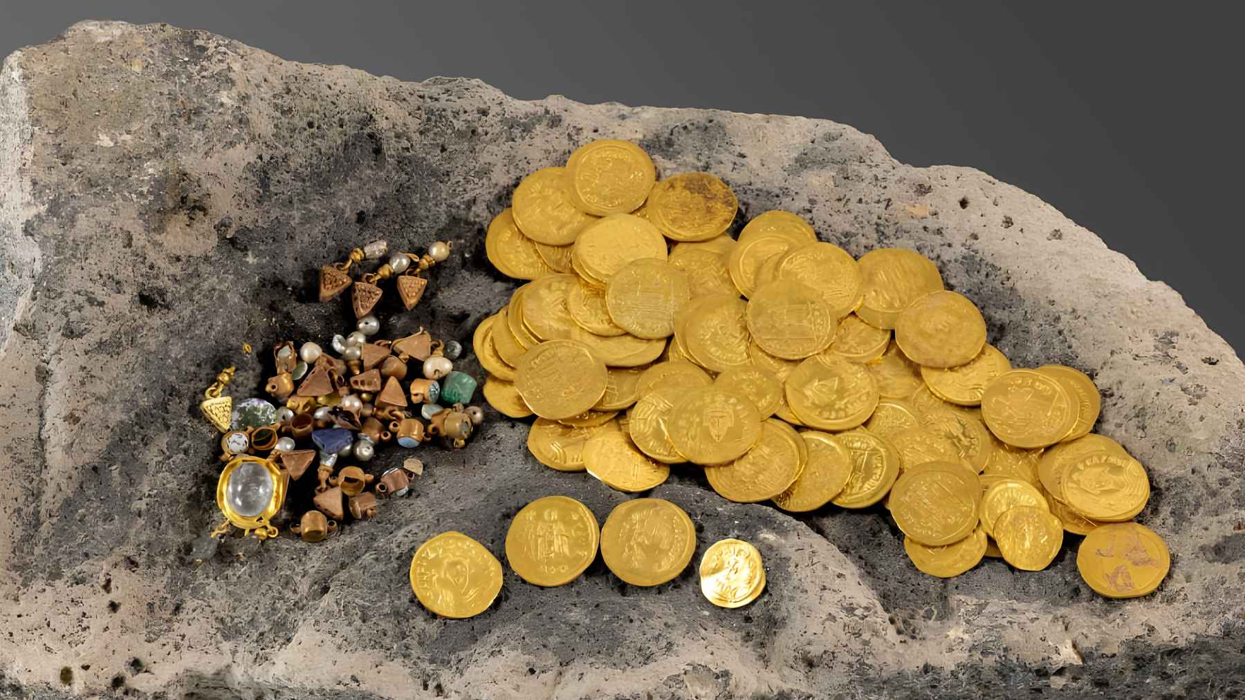
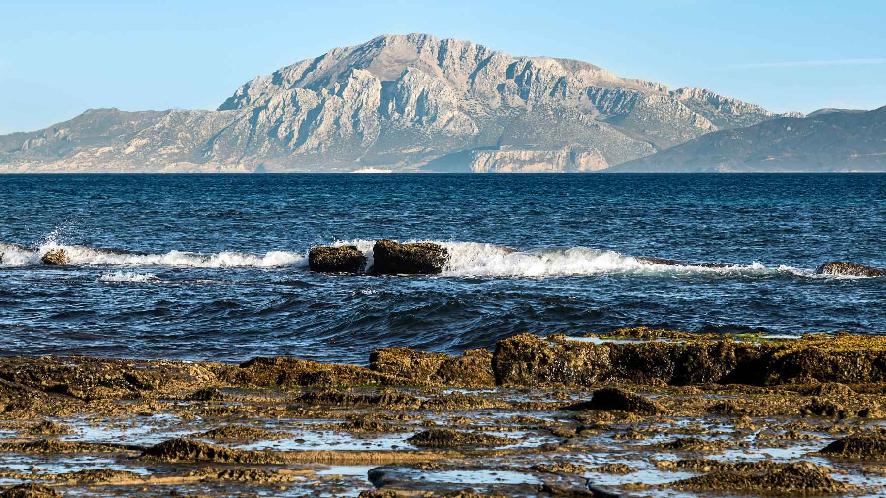
That context matters when you remember the 1755 Lisbon earthquake, estimated at about magnitude 8.7, which came from the broader offshore system rather than a single obvious onshore fault.
Why this matters for earthquakes and planning
These maps do not predict the next quake, but they can help explain why hazard is distributed, and why some damaging events happen offshore or on faults that are hard to spot at the surface. The paper also stresses that low measured strain does not equal zero risk.
In the Pyrenees, the authors point to extension that may be tied to isostatic rebound – meaning the crust slowly rises and adjusts as mountains erode and lose weight.
In Morocco’s High Atlas, where peaks reach about 13,100 feet, uplift may be influenced by deeper mantle forces even as regional compression sets the stress direction, a backdrop for a September 2023 earthquake that reached about magnitude 6.8.
To ground their results in mapped geology, the team compared patterns with official fault inventories, including the Quaternary Fault Database of Iberia and the GEM Global Active Faults database.They also note a practical limit: places with fewer earthquakes or fewer GNSS stations can produce noisier results, especially in low-strain interiors.
The main study has been published in Gondwana Research.