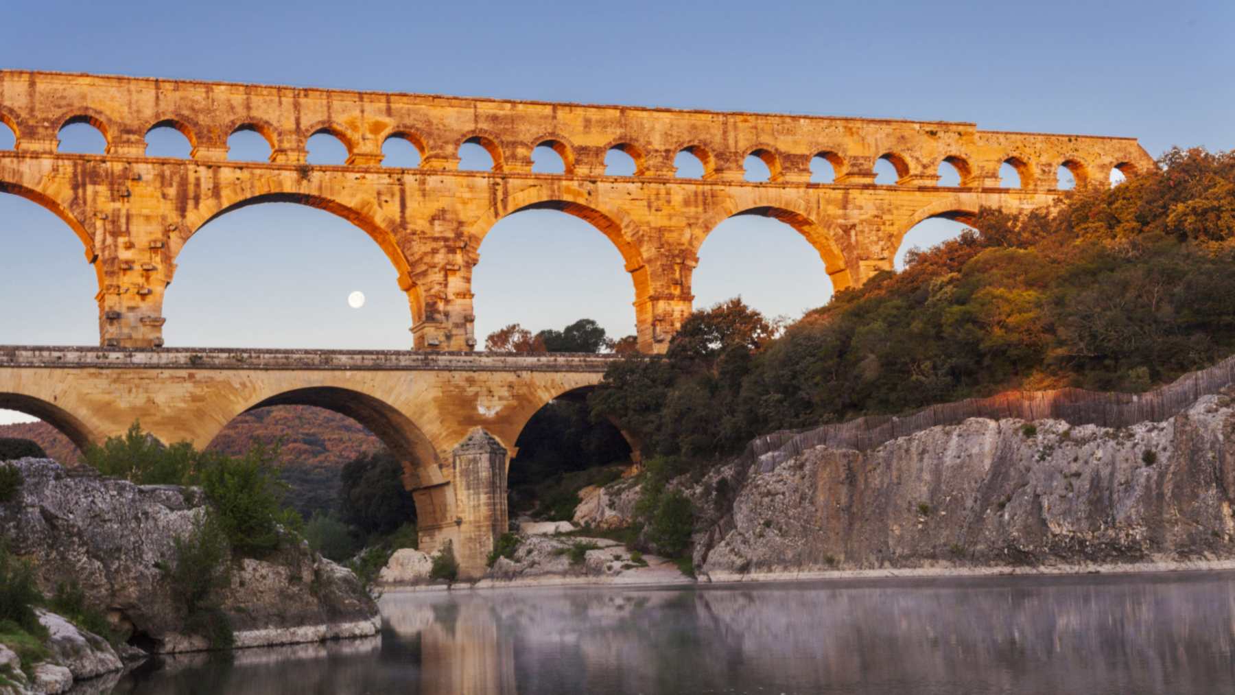
Workers in the 1300s cut deep into the piers of the Pont du Gard, the Roman aqueduct bridge over the Gardon River in southern France. The goal was to let carts and pack animals cross at its middle level. According to UNESCO, the supports lost over half of their thickness, “threatening the stability of the edifice.”
By then the bridge was more than 1,200 years old. Repairs at the end of the 1600s and a new road bridge in the 1740s finally took the load off. The official history of the monument, published by the public body that runs the site, traces each step.
A busy road to Beaucaire
In the 14th century, the road to Beaucaire and its famous fair passed over the Pont du Gard. Traffic was rising sharply, according to that history. The middle level of the monument was the most practical way over the river.
Builders added access ramps and indented the second-level piers further on the west side. Those piers are the thick stone columns that carry the upper arches. Cutting into them opened a lane through a structure built only to carry water.
The site’s own timeline is blunt about the outcome. It says the new traffic “posed a real danger to the structure, which could have collapsed.”
Water for Nîmes for five centuries
Roman engineers built the aqueduct around 50 AD, under the emperors Claudius or Nero. It served the fast-growing city of Nemausus, today’s Nîmes. Nearly a thousand men worked on the bridge, which took about five years, the site says.
At 48.77 meters (160 feet), the Pont du Gard is the tallest Roman aqueduct bridge in the world. Its three rows of arches hold 6 arches at the bottom, 11 in the middle and originally 47 at the top. UNESCO puts its longest level at 275 meters, or about 900 feet.
From a spring near Uzès, the channel ran about 31 miles (50 kilometers) to Nîmes. Its average drop was just 25 centimeters per kilometer, roughly 1.3 feet per mile. Gravity moved 30,000 to 40,000 cubic meters of water a day, about 8 million to 10.5 million gallons.
Like a pre-Roman water tunnel in central Italy, the system relied on a gentle slope rather than pumps. The official account credits it with five centuries of service to fountains, baths and wealthy homes. Still, a study of mineral layers inside the channel suggests the city stopped receiving water around AD 270.
Twelve arches taken for churches
By the early sixth century, with Franks and Visigoths in control of the region, the aqueduct had been abandoned. Its dressed blocks became a quarry, a familiar fate for ancient stone reused in later buildings. Around the 12th century, builders removed the first twelve arches of the top level for several nearby churches and buildings.
A document from 1295 gives the earliest written mention of the bridge, as “Pons de Gartio.” It concerns a toll that King Philip IV of France granted to the lord of Uzès. In return, the king received the barony of Lunel.
High water on the Gardon added to the damage in the following century. After a flood in the winter of 1429 to 1430, King Charles VII reportedly ordered repairs. The official timeline calls the bridge an “extremely damaged building” at that point.
Corbels and filled notches
The medieval cuts waited until the end of the 17th century for a real fix. From 1696 to 1702, the architects Daviler and de Laurens directed the work. Their crews added corbels and filled in the indentations, according to the site.
Corbels are stone brackets that stick out from a wall to carry weight above them. The site does not describe the masonry in more detail than that.
In 1840, Prosper Mérimée, France’s first inspector of historic monuments, found the great arches “in a terrible state.” He urged that the work be dealt with without delay. Restoration campaigns followed in 1842 to 1846 and in 1855 to 1859.
Henri Pitot’s road bridge
Between 1743 and 1747, the States of Languedoc, the provincial assembly, had a road bridge built against the aqueduct’s lowest level. Engineer Henri Pitot, known for the Pitot tube that measures flow speed, led the project. The old Roman quarry of Estel, about 2,000 feet (600 meters) downstream, reopened to supply stone.
Once carts and carriages moved to the new deck, the Roman piers stopped doubling as a road. In the 20th century, vehicles crossing the road bridge sent vibrations through the monument. From 1936, the site says, they threatened to topple the structure, and workers injected 310 metric tons of cement into the sensitive areas.
Under a development plan adopted in 1998, the site was reorganized and reopened to the public in 2000. Today the Pitot bridge is reserved for people on foot. That detail appears in the site’s guide for schoolchildren.
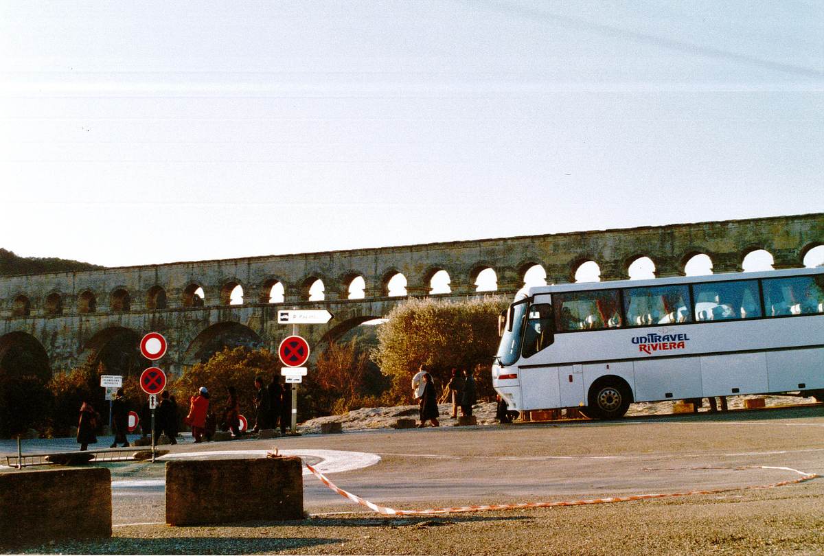
Two dates for one repair
UNESCO and the site’s managers give slightly different years for the big repair. The site says 1696 to 1702, while UNESCO’s description says 1699 to 1702 and dates the pier cutting only to the Middle Ages, with no century attached.
The official sources do not give a pier-by-pier figure for how deep the 14th-century notches went on the west side. Later repairs, from the 1690s to the 20th century, make it harder to read what the medieval crews removed. Researchers face a similar puzzle with medieval walls hiding under plaster in a Dublin building.
More than 320 marks carved by traveling journeymen between 1611 and 1989 are also scattered across the blocks, the site notes. They add yet another layer to sort through when dating any given patch of masonry.
Photo: Pont du Gard