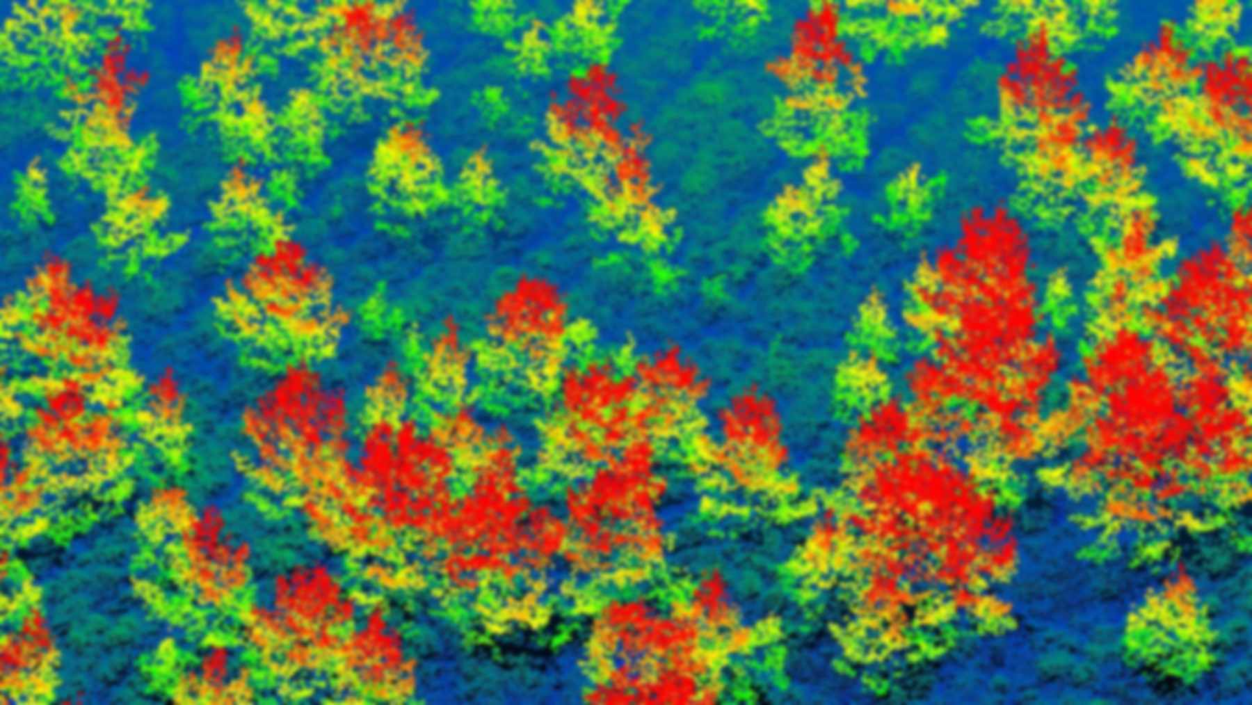
Cambridge researchers have mapped more than 6 million trees in Scotland’s Cairngorms from the air. Their survey covers 220 square miles (569 square kilometers) of the national park. About 2.65 million of those trees stand under 16 feet (5 meters) tall.
The University of Cambridge says the young trees are reaching places where woodland has been missing for centuries. The land belongs to Cairngorms Connect, a partnership of four land managers. The study’s authors credit the change to sustained deer culling.
Young woodland now covers over 12,900 acres (5,235 hectares) of previously open ground. That label requires more than 100 trees per hectare, or roughly 40 per acre. Planting played only a small part, in spots with no natural seed source.
Laser pulses from a Pilatus Porter
A Pilatus Porter PC-6 carried the scanner about 1,970 feet (600 meters) above the ground. The instrument uses LiDAR, which fires laser pulses downward and times each return. From those echoes, the team built a three-dimensional model of the land.
An AI-supported routine then picked out single crowns and measured their height. To check it, field crews located saplings with differential GPS. Height estimates matched those measurements closely, with an R-squared of 0.94, where 1 would be a perfect fit.
Partners had already walked selected sites and estimated their woodland area. The LiDAR totals came out 5 to 23 percent lower. The authors point to their stricter definition of a regenerating tree.
“To our knowledge, this represents the first study to use LiDAR to map regenerating trees at this scale,” the authors write in their accepted manuscript. That scale is more than 500 square kilometers.
Saplings cluster near old forest
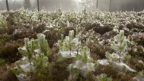
Distance from existing woodland had the strongest effect among the continuous variables tested. Sapling numbers dropped quickly away from the forest edge. Even so, the maps picked up some young trees more than 1,600 feet (500 meters) out in the open.
Scots pine seeds typically travel up to about 575 feet (175 meters), the paper notes. Animals and snowstorms can carry a few seeds several kilometers. Those remote pioneers matter for long-term expansion, yet field surveys rarely record them because of the cost.
Above roughly 1,300 feet (400 meters), elevation began to thin out the saplings. Boggy ground also held fewer young trees than dry heathland. High water tables have long been known to suppress tree growth there.
Scotland kept just 4 percent
Centuries of clearance for farming and hunting estates left only 4 percent of Scotland’s native forest. Heath, bog and grassland now dominate the landscape. Capercaillie and red squirrels are restricted to the remaining fragments.
Cairngorms Connect wants to double the existing forest under a 200-year vision. Most of that growth is meant to come from natural regeneration. The Scottish Government, for its part, wants 3,000 to 5,000 hectares of new native woodland each year.
Government thresholds for natural woodland also depend on density. In the survey, 1,984 hectares carried more than 400 young trees per hectare.
Deer numbers fell, saplings followed
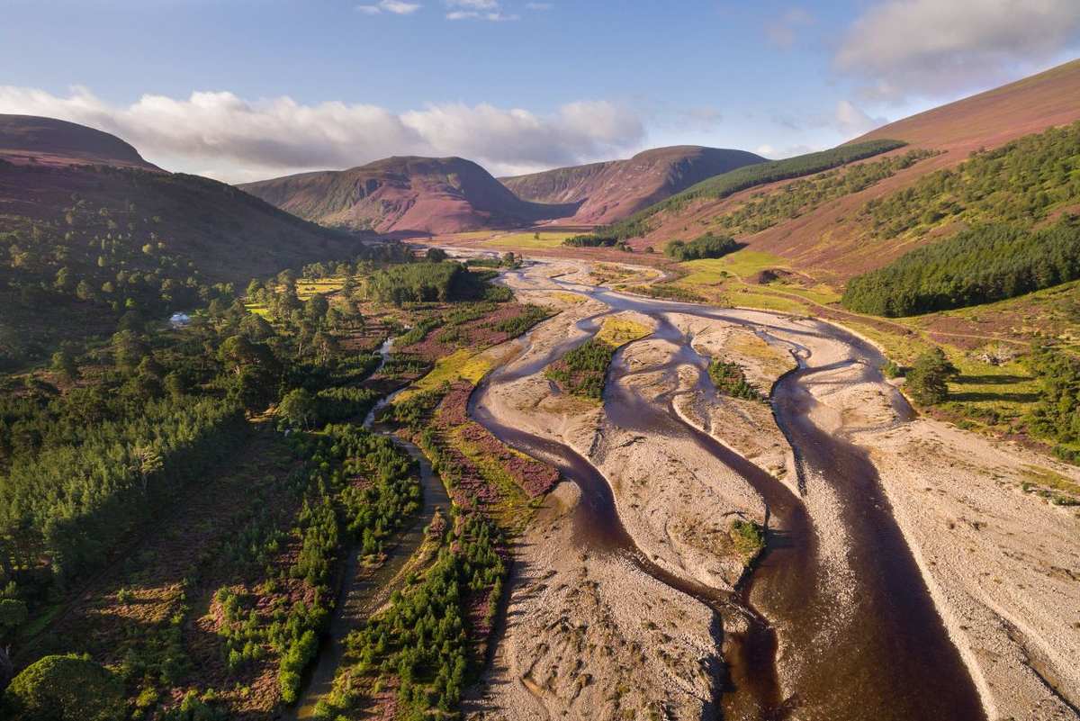
Deer browsing and the cost of fenced planting long held back Scottish woodland, the university explains. Densities across the study area now average below 4 deer per square kilometer. The partnership describes its deer managers as acting in the role of a natural predator.
Culling also avoids fences, which the paper names as a major killer of capercaillie and other grouse. Near Aviemore, a repeat survey commissioned by NatureScot found tree density up about 25 percent in six years. That reserve has no planting and no deer fences.
Other restoration efforts have leaned on what was already in the ground, including the living stumps on farmland in Niger. Browsers can also push the other way, as moose introduced to Newfoundland have shown.
Heavily browsed plots held more
An odd result came from the browsing records. Plots rated “very high” for browsing in a 2006 to 2013 national survey now hold 108 saplings per hectare, while “high” plots hold 78.
The authors suggest heavy browsing may have opened the vegetation and exposed mineral soil. Seedlings could then take hold once deer numbers fell. The RSPB is now trialling cattle and artificial cutting to imitate that effect.
Saplings under 4.6 feet escape detection
Small trees are the method’s weak point. Detection reached 83 percent for clusters 1.4 to 1.6 meters tall and passed 95 percent above 1.8 meters. Anything below about 1.4 meters (4.6 feet) generally went unseen, because heather and bracken hide it.
The 2.65 million figure therefore leaves out many of the youngest seedlings. Turning tree clusters into stem counts still needs a correction factor. Accuracy at lower point densities or other flight heights has not been established, and the authors expect field checks to continue.
Aland Chan of Cambridge’s Centre for Landscape Regeneration, who co-led the work, called the mapping “a breakthrough for monitoring nature restoration at a landscape scale.” Pip Gullett of Cairngorms Connect, a co-author, said it is “going to be a great way to monitor large-scale woodland expansion going forward.”
The full study was published in the Journal of Applied Ecology, and its accepted manuscript is open at the University of Cambridge repository.
The Scottish Government is now funding a nationwide LiDAR survey, and the team hopes its method will be used there. Only later scans can show how many of these saplings become forest, the same wait facing Ethiopia’s mass seedling campaign.
Image: University of Cambridge