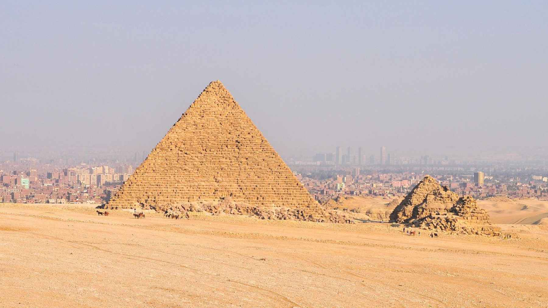
What if the ground under the Giza pyramids hid something huge, out of sight but still very real? In March 2025, a research team said satellite radar images point to deep shafts and giant chambers beneath the Pyramid of Khafre, the second-largest pyramid at Giza.
No drilling, excavation, or independent field survey has confirmed those structures. Many specialists say the claim goes beyond what satellite radar can reliably show, which is why the story has become a flashpoint.
What the radar team says it found
At a March 2025 press conference in Italy, Corrado Malanga of the University of Pisa, Filippo Biondi, described as linked to the University of Strathclyde, and Armando Mei said they processed satellite synthetic aperture radar data to map what they interpret as underground features.
They described massive vertical shafts, spiral pathways, and large chambers that they say extend over 2,000 feet underground.
One account of their presentation says the alleged structures sit about 1.2 miles underground and include two cube-like blocks roughly 300 feet across. In the same telling, the shafts are surrounded by spiral pathways, which is the sort of detail that makes people stop mid-scroll and look twice.
The key point is that this is an interpretation of patterns in remote data, not a physical survey of rock. Until someone checks the site with field instruments, it is hard to know whether the patterns reflect human-made spaces, natural voids, or processing artifacts.
Synthetic aperture radar in plain English
Synthetic aperture radar, often shortened to SAR, makes images using radio waves instead of visible light. A satellite sends out a pulse of energy and records the echo that comes back after it hits Earth’s surface, so it can collect data day or night and often through clouds.
In practical terms, SAR is best at telling you about surfaces and near-surface changes, like shifting ground after an earthquake or a hillside that is slowly creeping. It can also sense moisture and texture differences that cameras might miss.
So can it map a mile of solid rock? That is where the debate gets tense, because radar signals fade as they move through ground, and different materials absorb energy at different rates.

The 2022 radar paper behind today’s debate
Supporters of the Khafre claim often point to a peer-reviewed 2022 paper that used satellite SAR data to infer internal details of the Great Pyramid of Khufu without excavating. The paper stresses that radar waves have poor penetration inside solid bodies, so the method instead analyzes micro-movements in the monument linked to background seismic activity.
That idea is clever, and it is also easy to misunderstand. It does not mean a satellite is taking a clean “X-ray” of stone – it means a reconstruction is built from motion signals through mathematical modeling.
This matters because reconstructions can look precise even when the underlying signal is weak. With enough processing, noise can start to resemble structure.
Why many experts are skeptical
Zahi Hawass, an Egyptologist and former antiquities official, said the rumors about columns or structures beneath Khafre are “fabrications” and added that Egypt’s Supreme Council of Antiquities has not issued permits for the team to work inside the pyramid.
He also said the pyramid’s base was carved directly from bedrock to a height of about 26 feet, leaving no room for the kind of columns described online.
Radar expert Lawrence Conyers at the University of Denver told AFP that “Radar waves gradually attenuate in the ground” and said it is not possible to reach the extreme depths described with this technique.
In the same fact check, Egyptologist Jean-Guillaume Olette-Pelletier at the University of Paris-Sorbonne said there is no evidence of underground networks as deep as those claimed.
These criticisms do not rule out every hidden space at Giza. They challenge the scale and certainty of a deep “underground city,” which is a different claim than a small cavity or tunnel.
Geology can create false targets
The Giza plateau is limestone, and limestone can crack, fracture, and form gaps over time. A 2020 paper in npj Heritage Science noted “minute cracks” and “large gaps” in the stones and structure of the Giza pyramids, a reminder that the site is not a perfectly uniform block.
That matters because natural voids and fractures can show up as anomalies in geophysical data. Without ground truth, it can be difficult to say whether a signal points to a carved chamber or a natural feature.
How hidden spaces are usually confirmed
When archaeologists want to look underground without digging, they often combine tools with known limits, such as ground-penetrating radar and electrical resistivity tomography. In 2024, researchers used those methods to map an underground “anomaly” near a royal graveyard close to the Great Pyramid area.
Another proven approach is muon radiography, which uses particles from cosmic rays that pass through stone and reveal empty spaces by how many particles get through. In 2017, the ScanPyramids project reported a previously unknown void inside the Great Pyramid with a minimum length of about 100 feet.
More recently, the ScIDEP Collaboration has been building muon telescopes to scan the Pyramid of Khafre from multiple viewpoints, including from inside the king’s chamber and from outside the structure. If the goal is solid evidence, that kind of cross-checked measurement is the direction most researchers want to see.
What comes next
If the radar claim is ever going to move from internet debate to accepted archaeology, it will need independent checks and transparent methods. That likely means multiple teams, multiple tools, and results that can be reproduced.
For now, the most reliable takeaway is simple. A dramatic underground map is not the same thing as a confirmed underground structure.
The main peer-reviewed paper describing the radar method was published in Remote Sensing.