What is hiding under postcard landscapes like Tuscan hills and Yellowstone’s geysers? Two studies released in early April 2026 suggest the answer is a lot more magma, and a lot more complexity, than many people assumed. Magma is molten rock that sits underground.
Researchers mapped an enormous zone of hot, partly melted rock under Tuscany, while a separate team used computer modeling to argue Yellowstone’s magma supply is pushed in from the side, not rising straight up from deep inside Earth. In both cases, scientists stress the same point. These are big discoveries, but they do not mean an eruption is around the corner.
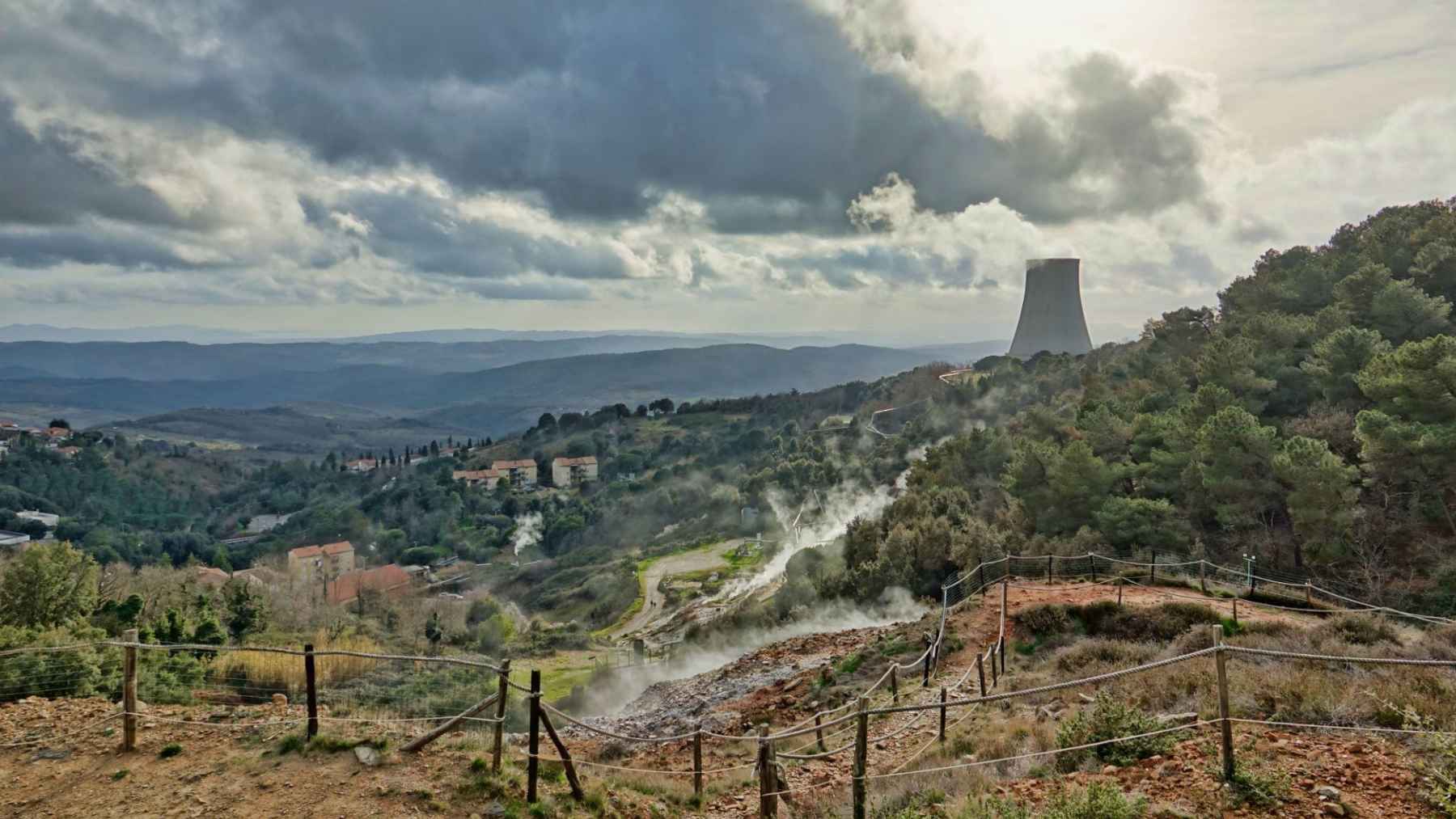
A huge magma body beneath Tuscany
A Swiss-Italian group identified roughly 1,440 cubic miles of magma and partially molten rock under parts of Tuscany, a volume comparable to Yellowstone. The hot material sits about 5 to 9 miles below the surface, beneath geothermal areas around Larderello and Monte Amiata. The finding was detailed in an April 14, 2026, University of Geneva press release.
The surprise is not just the size, but how hidden it was. “We knew that this region, which extends from north to south across Tuscany, is geothermally active,” said Matteo Lupi. The new maps suggest a large supply of hot rock can exist even where there is no obvious volcanic crater at the surface.
The work also points to more than one underground reservoir, including a second zone toward the south near Monte Amiata, described in a peer-reviewed paper published April 9, 2026. So should locals worry about an eruption? Researchers say the system “currently poses no threat,” largely because it is so deep.
How scientists mapped magma without drilling
The technique behind the Tuscan work is called ambient noise tomography. In simple terms, it turns Earth’s constant background vibration into a scan, using signals from ocean waves, wind, and everyday human activity. When those vibrations slow down in certain zones, it can be a clue that hotter, softer, partly melted rock is present.
To build a three-dimensional picture of the crust, Earth’s outer rocky shell, the team relied on about 60 seismic sensors spread across the region. The project also involved scientists from the Institute of Geosciences and Earth Resources of Italy’s National Research Council and the National Institute of Geophysics and Volcanology, which described the approach in a press release.
That matters for more than curiosity. Mapping deep heat sources can help identify promising geothermal sites, which pull energy from underground warmth instead of burning fuel. In practical terms, that could mean more steady electricity on the grid, and less pressure from the kind of price spikes that show up on the monthly bill.

Why “lots of magma” does not automatically mean danger
It is tempting to hear “massive magma reservoir” and jump to disaster movie scenarios. But most magma never reaches the surface, and deep magma can sit for a long time while slowly cooling or feeding hot fluids upward. Think of it as a giant hot storage zone, not a countdown clock.
Another important point is what magma is like down there. Many big systems are not an underground lake of pure liquid rock, but a “magma mush,” a mix of melt and crystals that can be hard to mobilize quickly. That helps explain why large volumes can exist without frequent eruptions.
Even so, these studies improve the baseline for monitoring. If a region starts changing, such as more earthquakes or unusual ground movement, scientists can compare new signals against a clearer map of what is already there. That is the quiet value of better imaging.
A new picture of Yellowstone’s magma source
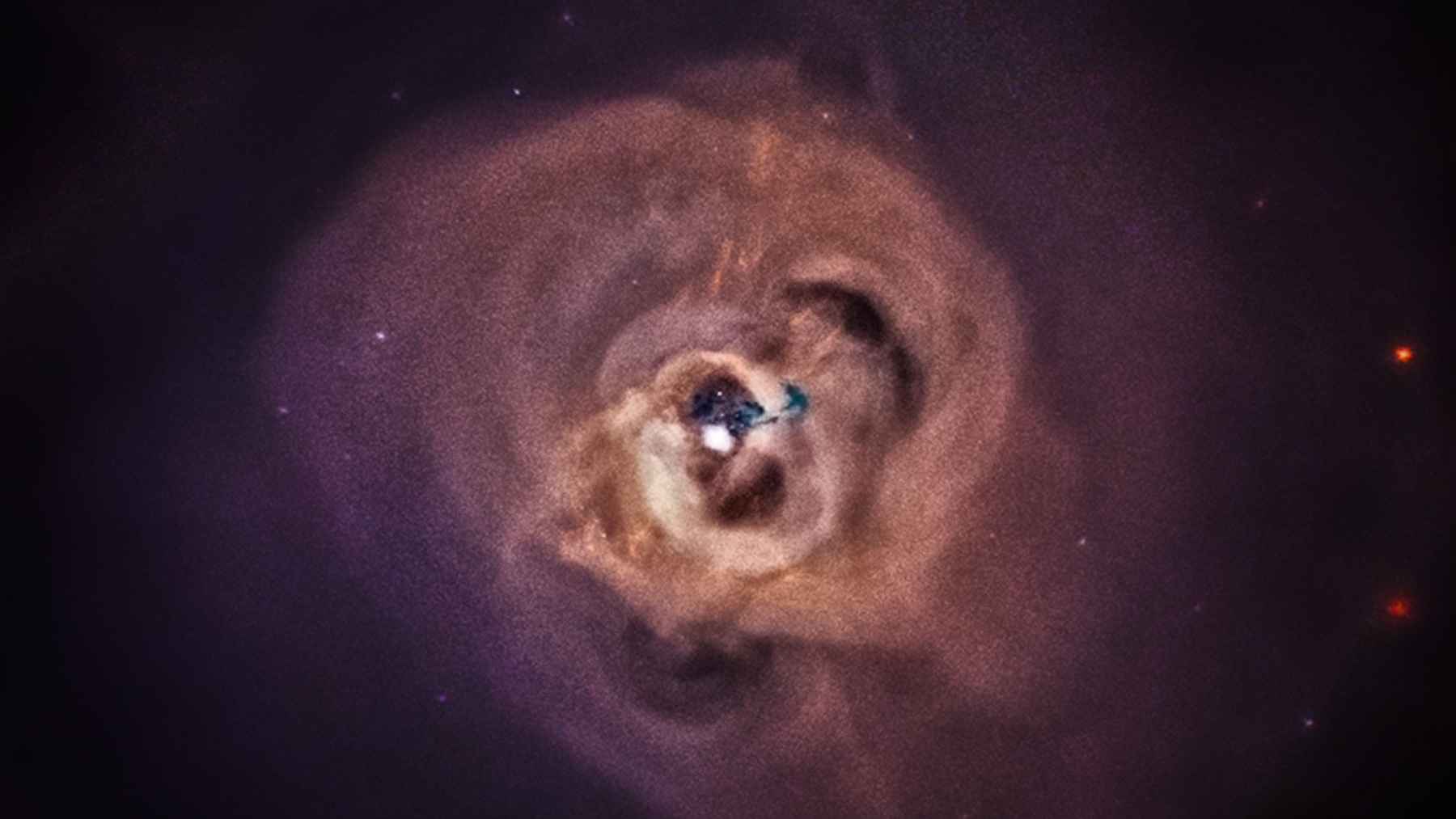
Yellowstone is often called a supervolcano, meaning it has produced at least one extremely large eruption in the distant past. A new study released April 9, 2026, argues its heat and magma come mainly from the shallow asthenosphere, a softer layer beneath Earth’s rigid outer shell, rather than from a deep mantle plume. The mechanism was laid out in a research update.
Instead of a straight vertical “pipeline,” the study describes an eastward “mantle wind,” a slow sideways flow of hot rock. That underground current is tied to subduction, when one tectonic plate sinks beneath another, and the report points to the long-gone Farallon Plate as part of the story. In this view, deep forces can also tug and tear the continent’s underside, shaping a tilted supply route.
The team at the Institute of Geology and Geophysics of the Chinese Academy of Sciences lists Lijun Liu as the contact for the work, which also tries to explain why Yellowstone’s magma system appears to dip toward the southwest as it goes deeper. It is a reminder that Earth’s interior is more like moving taffy than solid steel. And the better we map that motion, the better we can monitor what happens above it.
What experts say about eruption timing
Headlines sometimes claim Yellowstone is “overdue,” but that is not how volcanoes work. The U.S. Geological Survey notes that averages from only a few past giant eruptions are not a real forecast, even if the math tempts people to talk about another 100,000 years. The agency also says the main magma body beneath the caldera, a giant crater left by past eruptions, is only about five to fifteen percent molten.
The bigger point is that better models can improve how scientists watch the system. If magma is supplied through a tilted, sideways route, that changes where researchers might focus on stress building up, or where small earthquakes matter most. Over time, that could make warnings sharper and reduce false alarms.
For Tuscany, the implications are different, but still practical. Mapping hidden magma can guide geothermal development and help target where critical minerals such as lithium, used in many electric vehicle batteries, might form. Big science, grounded in real-world needs.
The main studies have been published in Communications Earth & Environment and Science.