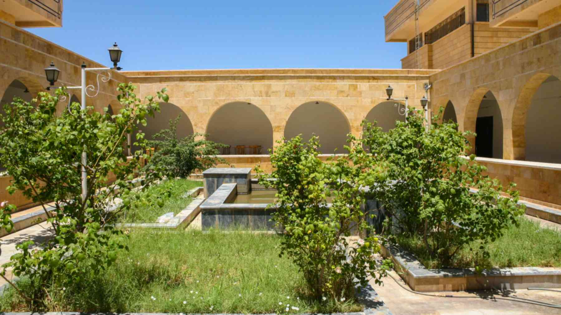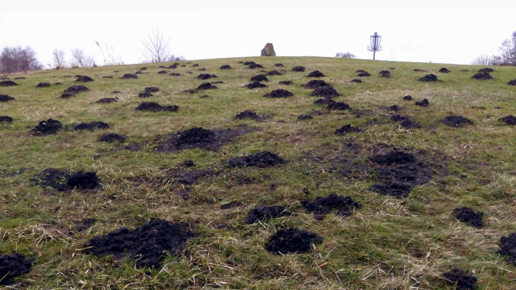
The little piles of dirt that frustrate gardeners have helped archaeologists identify a medieval gatehouse beneath a Belgian nature reserve. Near Damme, a former port serving Bruges, researchers recovered thousands of fragments from molehills and combined them with underground surveys to investigate a building associated with the 1200s and 1300s.
In the study, Jaan Verliefden and colleagues at Ghent University show how animal activity can expose clues beneath protected grassland. But the most revealing detail is easy to miss. The suspected building had fewer molehills above it, yet those hills held a richer concentration of archaeological material.
What 814 molehills revealed
The team mapped and sifted 814 molehills within a carefully selected area measuring 20 by 30 meters. Just over half, 421, contained at least one artifact, producing 2,810 finds altogether. About 85% were building materials, while the pottery collection included 294 fragments that helped establish when people had used the site.
This was a targeted investigation guided by earlier measurements. Instruments that detect electrical resistance and magnetic differences had already identified a rectangular feature roughly 33 by 26 feet (10 by 8 meters), and soil cores provided further evidence of brick debris. The molehill finds helped researchers interpret that feature as a gatehouse beside a moat.
Why fewer molehills held stronger clues
Why would the most promising archaeological spot have fewer signs of digging? European moles hunt underground, especially for earthworms, and their routes depend partly on food and soil conditions. In this survey, they appeared to avoid both hard building debris and the waterlogged moat, concentrating more heavily on favorable ground nearby.
Yet the fewer hills above the buried structure contained a clear concentration of fragments, particularly brick and other building materials. Counting dirt piles alone would therefore have missed an important part of the story. The researchers needed to map what came out of each mound and compare those finds with the underground measurements.
A building missing from a centuries-old map
Historical maps supplied another piece of evidence. A 1574 map by Pieter Pourbus depicts two raised, moated sites that closely match the earthworks surviving in the reserve today, but it shows no buildings on them. That absence suggests the sites had already been abandoned, although a map alone cannot establish the exact moment people left.
Most of the medieval pottery points to the 13th and 14th centuries, revealing activity earlier than Pourbus’s depiction. The rectangular structure’s location and dimensions resemble known medieval gatehouses, while aligned features across the moat suggest former bridge supports. Together, those clues support the researchers’ interpretation of an entrance to a substantial estate.
Grassland protects history while hiding it
The work addresses a practical problem for archaeologists. Plowing can bring buried objects to the surface, making them easier to spot, but it can also damage the layers and earthworks that explain a site’s history. Undisturbed grassland helps preserve those features while keeping much of the evidence out of sight beneath the turf.
The two investigated sites escaped modern mechanized plowing, and their raised platforms and moats remain visible. A nearby site in cultivated land had lost its surface relief through sustained plowing, illustrating what can disappear when land use changes. In these surviving pastures, naturally occurring molehills provide small opportunities to examine material without opening excavation trenches.
Tiny fragments require careful handling
The method has limits because moles bring up a selective sample of what lies underground. Small, light pieces are easier to move than large, heavy objects, leaving researchers with many pottery body fragments and few distinctive rims or bases. A molehill cannot provide a complete inventory of a buried household or building.
Human choices can introduce another bias. During the study, gray pottery sometimes blended so closely with the soil that researchers noticed it only when it made a sound against the sieve. Systematically sifting each mound, collecting the finds and recording their locations reduced the risk of overlooking evidence that could change the site’s dating.
Learning from disturbance without encouraging it
The authors propose combining maps, remote sensing, geophysical surveys, soil cores and targeted molehill sampling at other suitable sites. They also see opportunities for volunteers and students to participate in organized research. The broader value is learning more about vulnerable landscapes from material that natural activity has already exposed.
That does not mean releasing moles to excavate historic places, an approach the researchers explicitly reject. As they write, “digging, regardless of the agent, remains a threat to the preservation of archaeological sites.” The study was published on September 2, 2026, in the Journal of Archaeological Method and Theory.
Photo: Jonn Leffmann / Wikimedia Commons (CC BY 3.0)