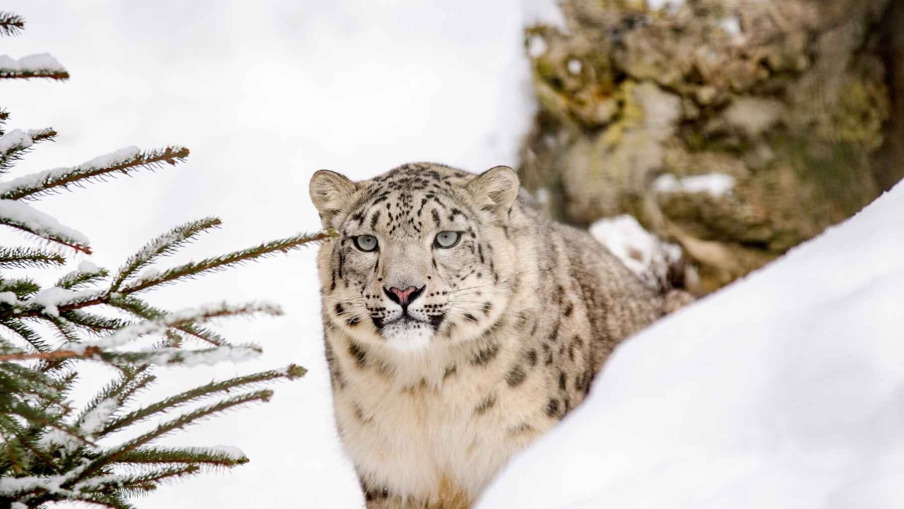
High in the Himalayas, GPS tracking collars fitted to four snow leopards revealed that the elusive cats command home ranges up to 97 times larger than scientists previously recorded — routinely ignoring the international borders between Nepal, India, and China
What does a national border mean to a cat following prey along a mountain ridge? Very little, and the findings suggest that conservation maps must follow the animal rather than stop at the edge of a park or country.
Four cats and 4,707 signals
Researchers fitted GPS collars to four snow leopards between November 2013 and May 2017. Their devices transmitted for periods ranging from 20 to 659 days, producing 4,707 locations across 1,239 tracking days.
The work was anything but routine. Five captures required 3,004 trap nights, and the shortest-lived collar stopped sending GPS positions after only 20 days.
The borders kept disappearing
On a paper map, the border looks solid. In the GPS tracks, three of the four cats crossed an international boundary five to seven times each, spending 10.3% to 34.3% of their recorded time in neighboring India or China.
Lapchhemba made five trips into China’s Qomolangma National Nature Preserve during her dispersal period. Yalung and Ghangjenjwenga entered India’s Khangchendzonga National Park, with 49.7% and 28.2% of their estimated home ranges overlapping India.
Home ranges grew dramatically
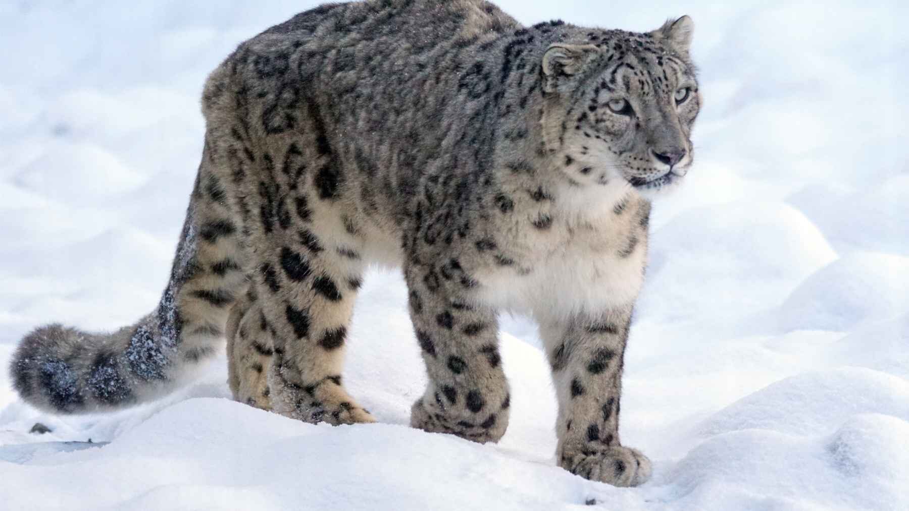
For the three cats tracked long enough for home-range analysis, the more biologically focused (aLoCoH) method — which maps animal territories like a tight-fitting glove by excluding unused terrain — produced estimates of 102 to 312.2 sq. km (about 39 to 121 sq. miles). By contrast, a broader minimum convex polygon method — which draws a simple perimeter connecting the outermost tracking points like a rubber band stretched around pegs — expanded those estimates from 210.7 to 1,031.6 sq. km (about 81 to 398 sq. miles).
Compared with older VHF-based estimates of 11 to 36 sq. km in Nepal, the similar-method results were six to 97 times larger. Not a small revision.
Technology changed the picture
Earlier VHF collars required researchers to get close enough to detect a radio signal in terrain that is steep, remote, and difficult to cross. That limitation could leave huge blank spaces on a map, especially when an animal covered ground faster than a field team.
This was Nepal’s first GPS-based telemetry study of snow leopards. Satellite communication delivered more reliable location data without requiring someone to follow every ridge, so the leap was in what scientists could see rather than a sudden change in the cats’ biology.
Terrain mattered more than politics
The cats did not move randomly. They favored alpine steppe and scrub, rolling or heavily broken terrain, and slopes between 15 and 50 degrees, while forests, permanent snow and ice, very steep cliffs, and elevations above 5,500 m (18,000 ft.) were generally avoided.
That pattern suggests the real boundaries were ecological. A forested gorge or sheer cliff could redirect a snow leopard, but a political line between Nepal, India, and China could not.
One park cannot cover the journey
Kangchenjunga Conservation Area covers 2,035 sq. km (786 sq. miles) and borders protected landscapes in both China and India. Even so, a cat whose regular range spans a border moves among separate patrol systems, permits, protected areas, and conservation authorities.
The authors say the movements “highlight the need for stronger coordination between Nepal, China, and India.” Nepal’s snow leopard plan for 2024 through 2030 also promotes stronger partnerships, better scientific data, climate-aware management, wildlife crime control, and transboundary cooperation.
The limits still matter
This is a four-animal study, and one collar lasted less than three weeks. The movement data were collected from 2013 through 2017, so they cannot describe every snow leopard or provide a live picture of the entire population today.
The authors themselves call for cautious interpretation because of the small sample. Still, the findings challenge conservation strategies built around small, isolated patches of habitat.
The map must follow the cat
The 4,707 points do not prove that every snow leopard uses the same amount of space. Together, however, they show that the conservation landscape in eastern Nepal extends into both India and China, making connected habitat and international coordination essential.
Ultimately, a protected ridge is only useful if the next ridge is safe too.
The study was published in Integrative Conservation.