NASA satellites built to study hurricanes, ice, and Earth’s changing surface have shown an unexpected talent. A recent comparison found that two Earth-observing systems could help trace a GPS jammer near Shiraz, Iran, not to a street address, but to within a few miles.
That matters because GPS is more than the blue dot on a phone map. Aircraft, cargo ships, emergency crews, banking networks, and power grids all depend on satellite navigation or timing, so a blocked signal can ripple into cockpits, ports, and everyday life.
A weather mission spots a security problem
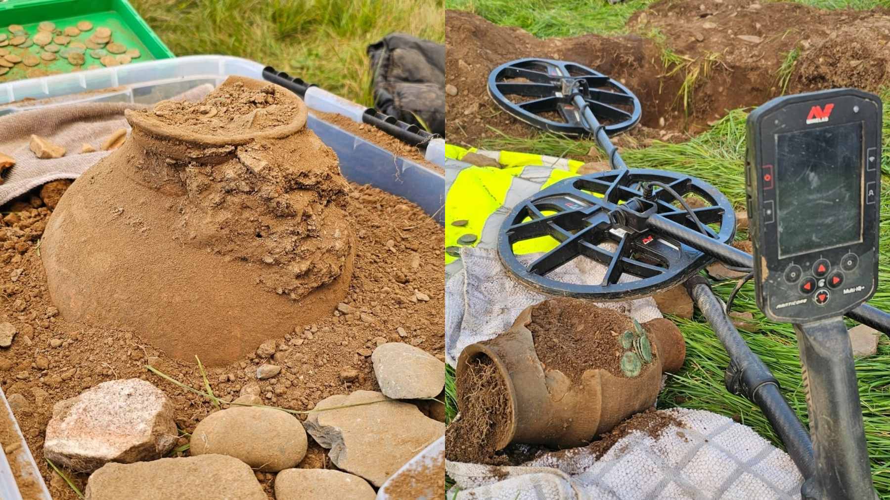
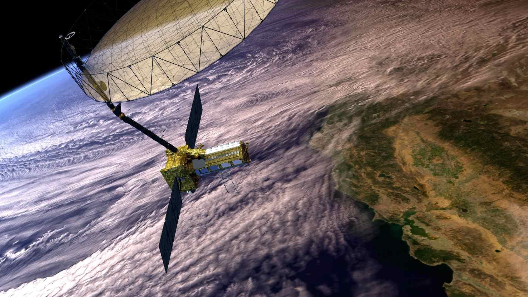
CYGNSS was never designed as a jammer-hunting system. NASA’s Cyclone Global Navigation Satellite System uses eight small satellites to measure ocean winds inside tropical cyclones, with reflected GPS signals helping it see through heavy storm rain.
That same design gives researchers a strange advantage. If a powerful ground transmitter interferes with GPS signals, the disturbance can leave a mark in the satellite data, like static showing up on an old radio.
How the signal was traced
A GPS jammer works by blasting out radio noise on frequencies used by navigation satellites. The real GPS signal is weak by the time it reaches Earth, so a stronger local signal can drown it out.
In this test, CYGNSS detected the wider footprint of interference across a region. NISAR, the joint radar mission from the agency and India’s ISRO launched in July 2025 to track changes in land, water, ice, and vegetation, added another view by catching interference in its own receiver.
The Shiraz test
The experiment was led by Sean Gorman, chief executive of the U.S. technology company Zephr.xyz. Using a known but unnamed jammer near Shiraz, the team estimated the transmitter’s position with CYGNSS to within about 2.7 miles and with NISAR to within about 3.9 miles.
That is not a pin dropped on a front gate. But for civil aviation and maritime planning, a few miles can be enough to mark a danger area and warn crews that their navigation tools may behave strangely.
Why this matters now
The area around Iran and the Strait of Hormuz is a busy corridor for aircraft and ships, and it has become a frequent trouble spot for GPS disruption. Recent reporting has described widespread interference affecting vessels in the region, with false or unreliable positioning creating collision and route-planning risks.
Jamming is different from spoofing, another common trick. Jamming blocks the signal, while spoofing sends false information that can make a receiver believe it is somewhere else. For a pilot or ship crew, either problem can turn a normal route into a tense one.
The promise is risk mapping
Clara Chew of Muon Space told Ars Technica that these satellites are not built for “near-real time monitoring” or exact targeting. In practical terms, that means the data may be more useful for drawing risk maps than for chasing a jammer while it is operating.
That is still useful. A pilot planning a route, or a ship captain looking at a crowded channel, does not need a science lecture in the moment. They need to know where the signal may fail.
The limits are real
The biggest drawback is time. According to the source material, the data can take several days to become available, which is too slow for live warnings in a fast-moving crisis.
There is also the question of precision. Dedicated military systems or local sensors may do better, but that is not the point here. The surprise is that climate and Earth-science satellites can help expose radio interference they were not meant to hunt.
A stronger jammer signal
The analysis found that the jammer’s intensity had increased about fivefold after the conflict involving the United States, Israel, and Iran escalated in early 2026. That detail matters because stronger interference can spread farther and create a larger zone where GPS receivers struggle.
What does that look like in daily life? A phone map may jump, a ship display may show a strange position, or an aircraft system may flag inconsistent navigation data. In a car, that is annoying. In a crowded sea lane, it can be serious.
A climate tool with a second job
NISAR and CYGNSS were built for Earth science, not military intelligence. One watches storms through reflected GPS signals, while the other maps subtle changes on land and ice with radar, giving scientists a sharper view of floods, glaciers, ecosystems, and ground movement.
That is what makes the finding so interesting. Data collected for public science can also reveal where navigation has become unreliable, helping researchers clean their own measurements and giving civil planners another way to see the invisible hazards around conflict zones.
What comes next
The next step is not simply more satellites. Researchers also need faster processing, better checks against false alarms, and clearer ways to share warnings with the people who actually move through affected airspace and waterways.
At the end of the day, the work turns a climate-observation tool into something like a warning lamp. It does not solve GPS jamming, but it helps show where the lights on the navigation dashboard may start to flicker.
The main work has been published in GPS World.