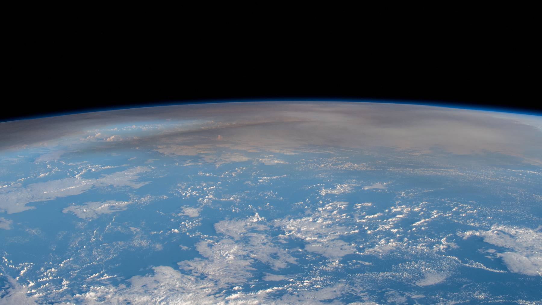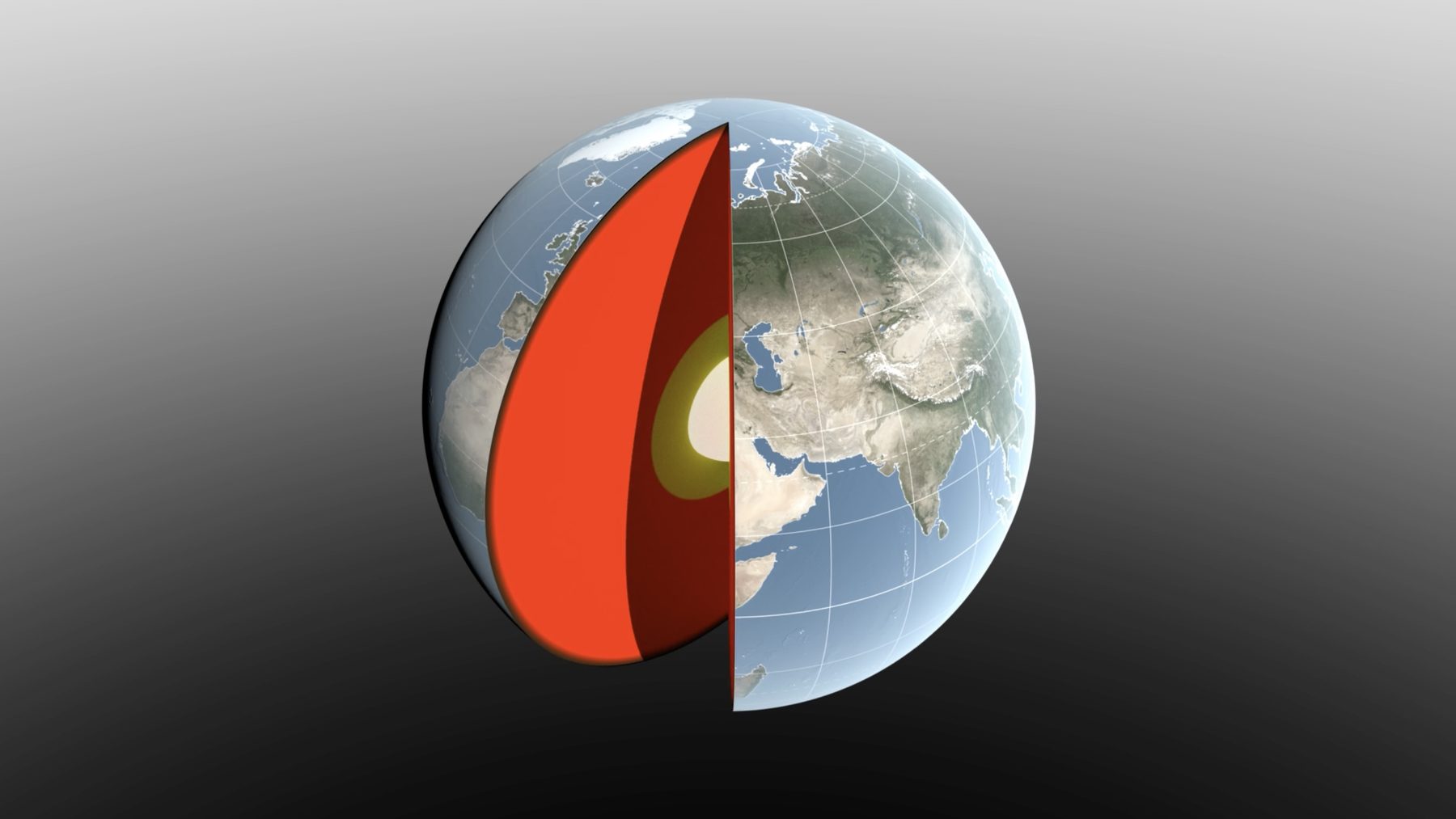
Earth’s balance point moves as snow piles up, rivers swell, and water flows into the oceans. Now, a NASA-led study has refined measurements of that seasonal shift, putting its size at about half what researchers estimated eight years ago.
The movement amounts to only a few millimeters relative to Earth’s geometric center, but that matters when satellites help us measure heights or pinpoint locations. Led by Donald Argus at NASA’s Jet Propulsion Laboratory, the research offers a clearer picture of how water and air redistribute the planet’s mass. The findings appeared in Geophysical Journal International on September 14, 2026.
Why Earth has more than one center
Think of Earth’s center of mass as its balance point, determined by where all its mass sits. Its geometric center describes the planet’s shape, and the two do not stay perfectly aligned as water, ice, and air move around.
A familiar comparison is a backpack whose weight shifts when you move a water bottle from one pocket to another. On Earth, the loads are enormous, yet the resulting displacement is tiny because the planet itself is so massive.
The measurement problem under our feet
Satellites orbit around Earth’s center of mass, making their paths useful for locating it. Scientists have long tracked the reflective LAGEOS satellites with lasers fired from ground stations, measuring distances with extraordinary precision.
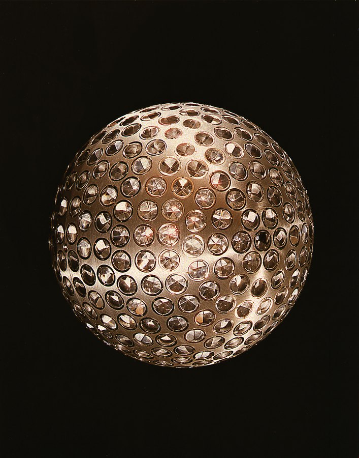
But those stations are unevenly spread around the world, and the ground beneath them moves as water and ice load or unload the crust. NASA says international estimates released in 2017 and 2023 differed by 7 millimeters (about 0.27 inch), nearly the scale of the motion being measured.
The new approach combines satellite laser ranging, GPS tracking, and observations of satellites in low Earth orbit. It also accounts for how surface loads deform the ground, helping researchers separate station movement from the planetary shift they want to measure.
Snow and Amazon rain leave a planetary fingerprint
The seasonal pattern starts with familiar weather on an unfamiliar scale. Snow accumulation across North America and Eurasia reaches its maximum in March, contributing a shift of about 3 millimeters toward the North Pole.
In April, rainwater stored across the Amazon basin reaches a seasonal peak of roughly 2,400 gigatons, according to NASA’s account of the study. That is about 2.4 trillion metric tons of water, contributing a shift of 2.2 millimeters toward South America.
These figures describe different contributions to the changing balance point, so adding them together would not give a meaningful total. Direction matters, too. Southeast Asian monsoon water adds another, smaller contribution as its seasonal stores rise and fall.
Oceans and winter air complete the picture
Between August and October, meltwater and rain increase the oceans’ mass, shifting Earth’s balance point toward the South Pacific. The Pacific’s sheer size gives it an outsized role, although smaller seas also contribute to the pattern.
Air has weight, too, even if we rarely think about it while checking the forecast. Using a European Centre for Medium-Range Weather Forecasts model, the researchers estimated how seasonal atmospheric changes affect the balance point, including the buildup of cold, dense winter air over different regions.
Why a few millimeters matter for navigation
Would anyone feel this shift while walking down the street? No, but the coordinate systems behind accurate mapping and navigation need to account for it. Measuring a location precisely requires knowing where the reference point is, even when that reference point moves.
Study coauthor Felix Landerer said that “while these movements might appear tiny, our modern world relies on extremely accurate positioning measurements.” He pointed to global shipping and precision agriculture as areas that benefit from better reference systems, connecting this seemingly remote research to moving cargo and guiding farm equipment.
Keeping track of a moving water cycle
The team’s mass calculations agree with observations from GRACE-FO, the NASA and German mission launched in 2018. Its twin satellites track changes in Earth’s gravity, revealing how water moves above and below the surface, including water stored underground.
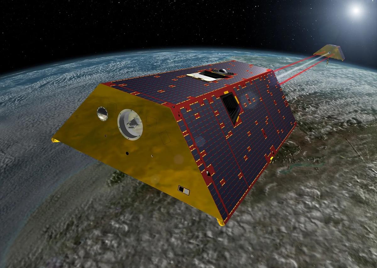
When one satellite passes over a region with extra mass, such as a swollen river basin, the additional gravitational pull changes the distance between the pair. Measuring that small change helps scientists follow water storage across the planet, extending their view beyond what rivers and reservoirs reveal at ground level.
The next mission, GRACE-Continuity, is targeting a late-2028 launch to extend that record. Meanwhile, the latest geocenter findings refine a measurement scientists depend on to describe a planet whose water is always on the move. The official news release was published on NASA’s website on September 16, 2026.
Image: NASA’s Scientific Visualization Studio