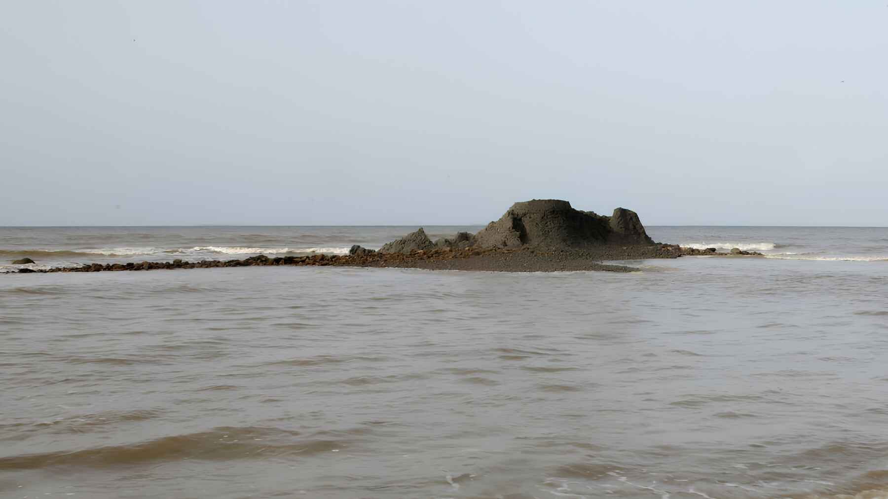
A temporary island of mud has risen off southern Trinidad, and scientists say the most likely trigger was the pair of powerful earthquakes that struck Venezuela on June 24. The formation sits near Palo Seco, rises about 13 ft. from the seabed, and is already being pulled apart by Caribbean waves.
This is not a fiery volcano, and it may not remain above water for long. Still, the fast-forming islet offers a rare look at how distant seismic energy can squeeze water, clay, rock, and gas through faults beneath a vulnerable coastline, which is why researchers are trying to study it before the sea erases the evidence.
A new island made of mud
The feature lies 1.6 miles east of Beach Camp in Palo Seco and 2.1 miles east of Anglais Point Mud Volcano. It consists mainly of soft swelling clay, embedded rock fragments, and large calcite-rich blocks that can resemble coral in places.
Neil Sookram of Southwest Adventures is believed to have been the first person to spot the formation. He reported continuous erosion over two days, while geoscientist Xavier Moonan said early images suggested nearly one-third had already washed away and later observed, “What we see here is that it’s constantly eroding away.”
How the earthquakes may have opened a path
The June 24 earthquakes measured magnitudes 7.2 and 7.5 and struck only 39 seconds apart. The UWI Seismic Research Centre said the closely spaced events acted, in effect, like one prolonged episode, with regional shaking continuing for more than 10 minutes.
Mud volcanoes do not draw on molten rock. They form when pressurized fluids and fine sediment move upward through weak zones, and the UWI says Trinidad’s southern coast contains faults that let water, oil, and gas migrate toward the surface. The working explanation is that the earthquakes reactivated one of those pathways near the Santa Flora Fault, but sample tests are still needed to pin down the material’s age and source.
Why this is not another Galfa Point
The same earthquake sequence has been linked to a much larger change at Galfa Point in Cedros, where part of the coast rose by about 20 ft. and former seabed was exposed. The UWI’s preliminary assessment concluded that the ground deformation there was earthquake-triggered and reflected the area’s unusual geology.
Palo Seco appears different. Moonan said the nearby beach and cliffs showed no comparable uplift, damage, or slump, pointing instead to mud forced upward through a fault rather than a block of coast being shoved out of the sea. That distinction matters because the two features may look related from a boat, but they call for different geological explanations.
Soft ground can amplify a distant shock
Southern Trinidad sits over the Southern Anticline, an east-west belt of folded and faulted sediment that hosts a chain of mud volcanoes. Near-surface layers around these features can be saturated with fluids and have low shear-wave speeds, which makes them more responsive to long, slow earthquake motion and major earthquakes.
At L’Envieuse, researchers measured a natural ground vibration cycle of about 28 seconds, while strong energy from the Venezuelan earthquakes arrived on a cycle close to 14 seconds. That relationship may have produced resonance, much like pushing a playground swing at the right rhythm, and helped reactivate mud movement even though the earthquake source was far away.
The environmental questions are still open
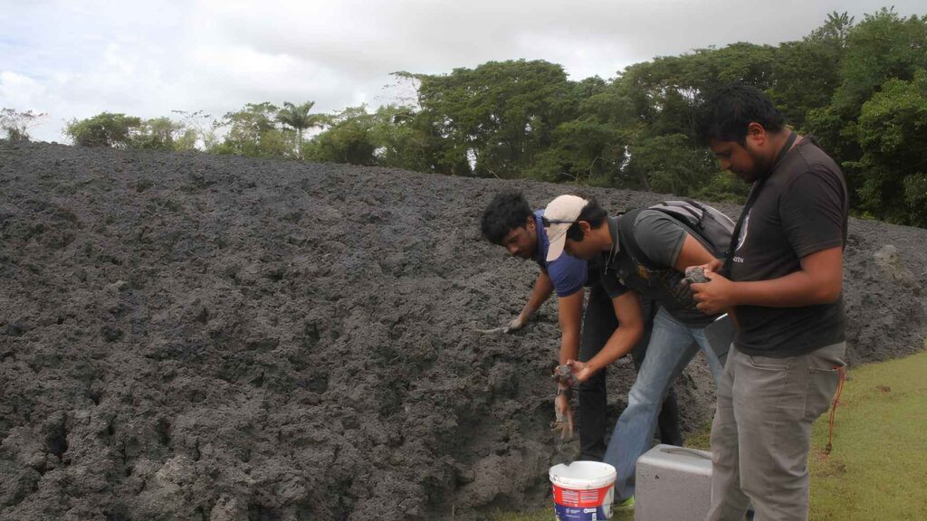
The UWI Seismic Research Centre, Trinidad and Tobago’s Institute of Marine Affairs, and ResiLog Limited are analyzing mud collected from the site. Their immediate questions are simple but important: how old is the material, and where did it come from?
A field team also reported bubbling and a strong hydrocarbon odor. Those observations make laboratory measurements important, but they do not by themselves establish a spill or toxic release. For nearby fishers and coastal communities, good data matter more than dramatic guesses.
The sea is already reclaiming it
The island could disappear before the laboratory work is complete. Its soft clay is beginning to harden at the top, but waves have been cutting into the sides day after day, a reminder that new land does not always become permanent land.
What would remain if the island slips below the surface again? For scientists, the answer is a short-lived record of pressure released through the seabed, plus samples that may reveal how Trinidad’s mud-volcano system responds to major earthquakes. The clock is moving faster than the lab work.
A brief island with a lasting warning
The main lesson is not that Trinidad has gained a permanent new island. It is that one earthquake sequence produced several kinds of ground response across the southwestern coast, from a mud extrusion at Palo Seco to major deformation at Galfa Point and L’Envieuse.
The UWI warned that “efforts must be made to mitigate future risk to lives and livelihoods” in areas with similar geology.
The official preliminary assessment of the linked coastal deformation was published on The UWI Seismic Research Centre.