Satellites
Satellites allow us to observe incredible things. They have recorded a megatsunami in Greenland, they track the weak spot in Earth’s magnetic field above the South Atlantic, and increasingly, they are becoming a target in military strategies. Find out more about scientific discoveries and strategies involving satellites.
52 stories · since 2025 · latest, November 14, 2026
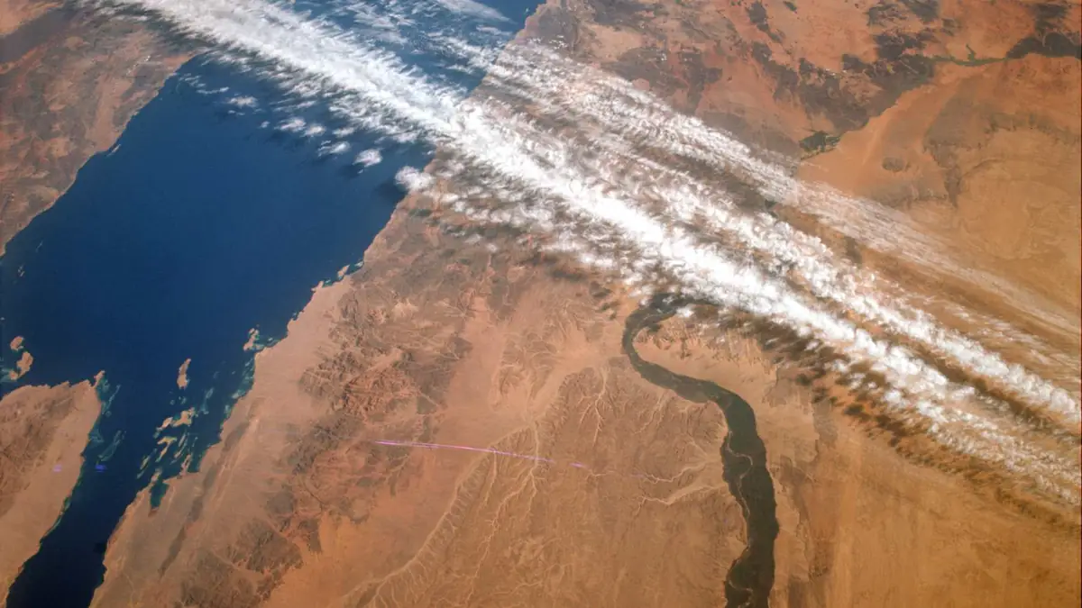
Sixty years ago this week, Jim Lovell and Buzz Aldrin photographed the Red Sea and the Nile from Gemini XII, and photos like theirs helped make the case for the satellites that became Landsat
Sixty years ago this week, on November 14, 1966, Gemini XII astronauts Jim Lovell and Buzz Aldrin photographed the Red Sea and the Nile River valley from…
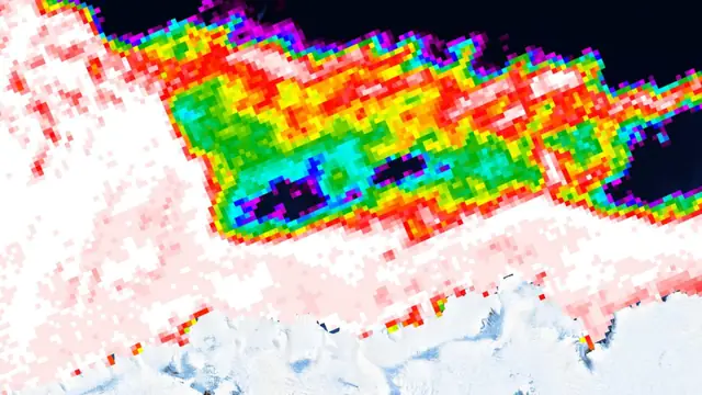
A hole almost as big as Portugal opened in Antarctic sea ice in midwinter, something satellites had never seen there since 1979, and what kept it from freezing came from above and below
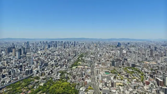
Japan clamped down on groundwater pumping in Osaka after the land sank more than 6 feet, and decades later satellites show the city rising again, just faster on one side of its faults
Nicaragua’s Masaya volcano has not produced a major lava flow since 1772, and satellite radar now shows separate magma reservoirs beneath it behaving in opposite ways, with one swelling while the other shrinks
Nicaragua’s Masaya volcano last sent out a major lava flow in 1772. Radar data from 2018 to 2024, though, show two magma reservoirs under it doing…
Adrian Villellas · November 4, 2026
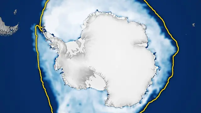
Antarctic sea ice spread across 6.79 million square miles this winter, its third-lowest peak since satellites began watching, and less than three weeks later it was setting record lows for the date
Antarctic sea ice reached its largest extent of 2026 on September 14. It covered an estimated 6.79 million square miles (17.59 million square kilometers)…
ECOnews Newsroom · November 2, 2026
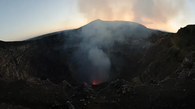
A volcano near Antarctica keeps a lava lake about 360 feet wide alive as the southern winter ends, and when the clouds finally parted in August a satellite caught more than just its heat
A lava lake inside Mount Michael showed up as a red speck of heat in a satellite image taken on August 24, 2026. Mount Michael is the stratovolcano in the…
Adrian Villellas · October 31, 2026
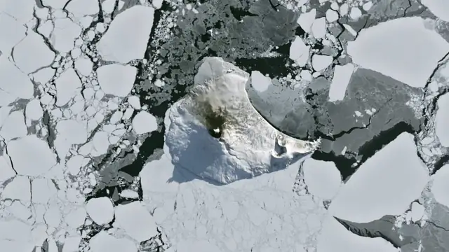
Satellites counted 39,619 icebergs stuck in place around Antarctica, and the small grounded icebergs that surveys usually overlook may be holding coastal sea ice together like posts in a picket fence
Australian scientists have built the first high-resolution map of grounded icebergs around the whole of Antarctica. Working from satellite radar images…
Adrian Villellas · October 30, 2026
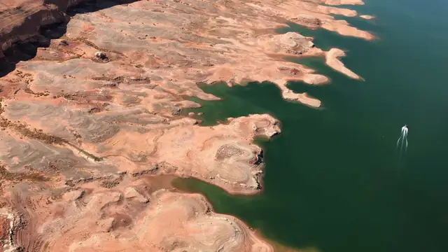
Satellites tracked a loss of about 4.6 trillion gallons of groundwater in the snow-fed Upper Colorado River Basin during the 2020-2022 drought, and that is nearly double what the drier Lower Basin lost
The snow-fed Upper Colorado River Basin lost about 4.6 trillion gallons (17.5 cubic kilometers) of groundwater during the 2020-2022 drought, nearly double…
ECOnews Newsroom · October 23, 2026
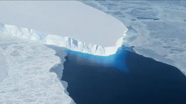
In West Antarctica, a Thwaites Glacier model checked against 27 years of satellite records projects it could add up to about 1.2 inches to global seas by 2100, and that is roughly double earlier estimates
From March to June of 2023, Finland’s ICEYE radar satellites passed over Thwaites Glacier in West Antarctica day after day. They watched the ice near its…
Adrian Villellas · October 18, 2026
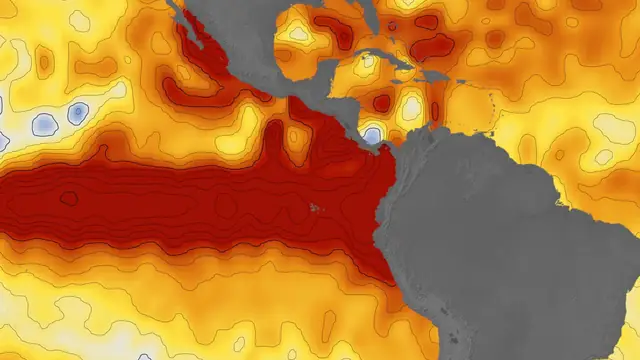
In the eastern Pacific, NASA satellites show seas up to 1.3 feet higher as NOAA gives the strongest El Niño since 1950 an 83 percent chance for October to December, and equatorial waters turn bluer
In January 2026, satellites spotted a swell of warm water near Micronesia, in the western Pacific Ocean. By October, NOAA’s Climate Prediction Center gave…
ECOnews Newsroom · October 18, 2026
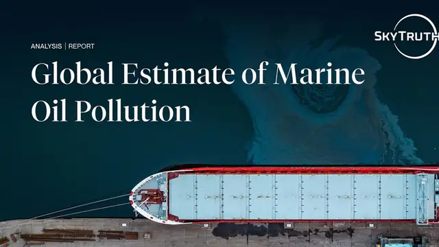
SkyTruth’s satellite analysis estimates oil slicks cover about 610,000 square miles of ocean each year, and 16 ships appeared to be discharging oil in over 10 percent of their satellite images at sea
The Princess Aweni was built as a tanker in 1975 and ended up as a floating oil production vessel off Nigeria. Before a court seized it in 2026,…
Adrian Villellas · October 12, 2026
Antarctica gained 695 billion tons of ice in less than two years, the largest increase in the satellite record, and the cause was warm tropical water thousands of miles away that changes nothing about where the continent is heading
Antarctica briefly gained an extraordinary amount of ice while its longer decline continued. Between July 2021 and April 2023, the ice sheet added about…
ECOnews Newsroom · September 24, 2026
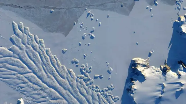
Greenland lost about 105 billion metric tons of ice in the year ending August 2025, its 29th consecutive year of net loss, while satellites captured vast gray patches where dust and soot darkened the surface and allowed it to absorb even more sunlight
Greenland lost an estimated 105 billion metric tons of ice during the year ending in August 2025, according to Danish climate scientists. Meanwhile,…
Adrian Villellas · September 22, 2026
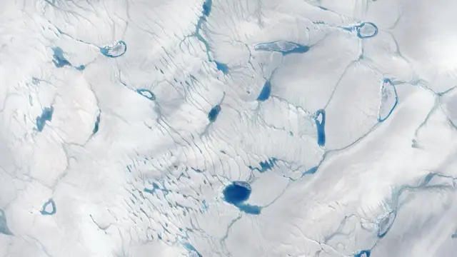
An 11-pound endangered sea turtle named Pancake was found cold-stunned on a Cape Cod beach, spent seven months eating shrimp and clams in rehab, and returned to the Atlantic at Coney Island carrying a satellite tag
An 11-pound sea turtle became the center of attention at Coney Island when a crowd gathered to watch a return to the wild. Pancake, an endangered Kemp’s…
ECOnews Newsroom · September 17, 2026
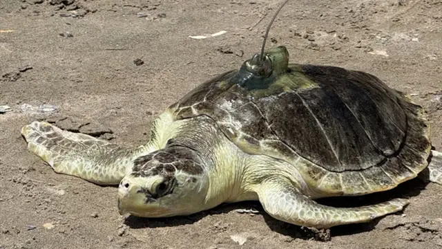
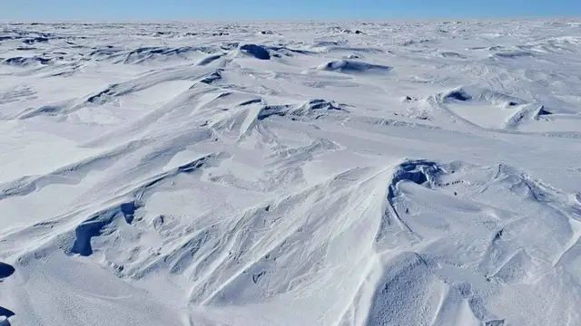
Satellites scanned Antarctica between 2004 and 2016 and found about 100 shallow hollows where the snow plunged to roughly −144°F (−98°C), revealing how darkness, extraordinarily dry air and almost no wind can create the coldest surfaces measured on Earth
Satellite measurements have revealed snow temperatures of roughly −144°F (−98°C) in shallow hollows high on the East Antarctic Plateau. Published in 2018,…
ECOnews Newsroom · September 13, 2026