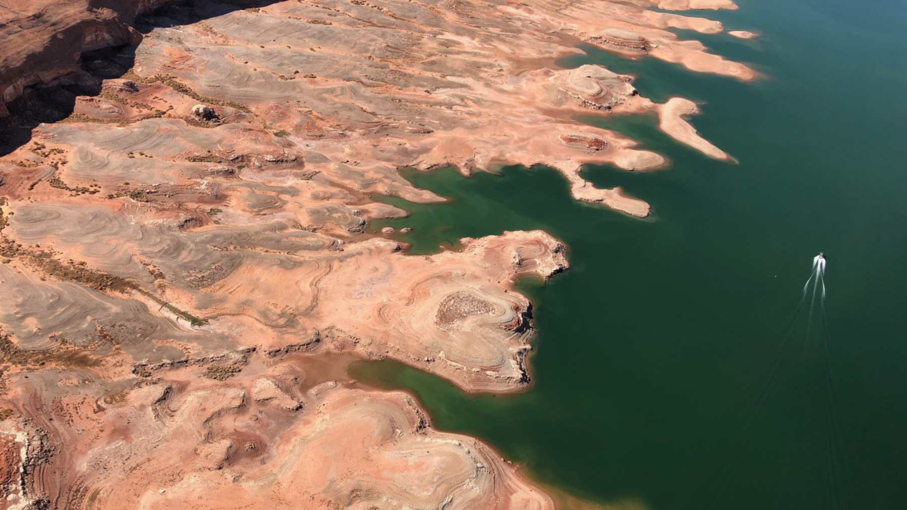
The snow-fed Upper Colorado River Basin lost about 4.6 trillion gallons (17.5 cubic kilometers) of groundwater during the 2020-2022 drought, nearly double the roughly 2.5 trillion gallons (9.4 cubic kilometers) lost by the drier Lower Basin, according to a new satellite study led by Virginia Tech. It was the most intense drought in the basin since 2004, the start of the record.
Esther Oyedele, a geosciences graduate student at Virginia Tech who came to the United States from Nigeria in late 2020 after time in the oil and gas industry, is the lead author. The Upper Basin is usually seen as more resilient because snowmelt recharges it, she said in a Virginia Tech news release on Oct. 13. “I did not expect to see so much groundwater loss there during the recent drought,” she said, and groundwater did not track surface-water shortages the same way in the two halves of the basin.
Satellites that weigh hidden water
Oyedele began with a master’s study of Lake Mead, on the Nevada-Arizona border. Her Ph.D. work in the Hydrologic Innovation and Remote Sensing Lab, with assistant professor Susanna Werth, widened that to the whole basin, which supplies water to over 40 million people. G. Carlson of Indiana University Bloomington is the third author, and a NASA grant paid for part of the work.
The basin has very few wells, especially in the mountains, so the team leaned on NASA’s GRACE satellites, short for Gravity Recovery and Climate Experiment, and the follow-on pair launched in 2018. They detect tiny changes in Earth’s gravity field to track how much water sits above and below ground.
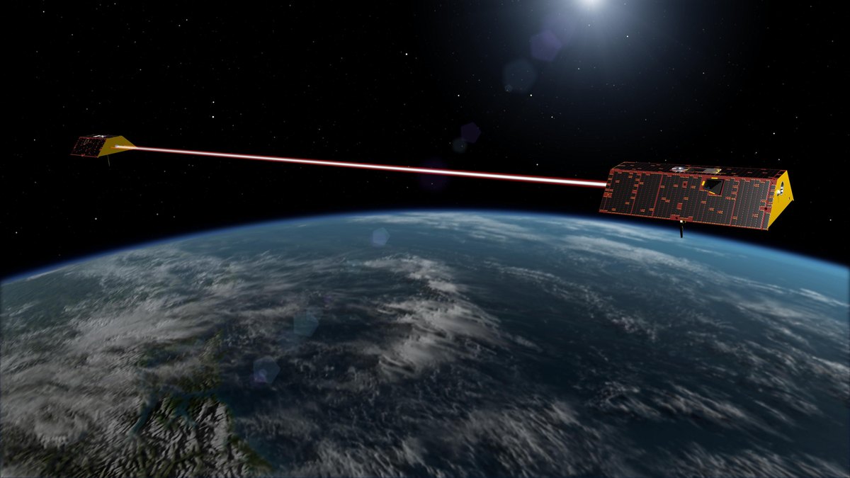
For this study, the team took the GRACE totals for 2004 through 2023 and removed snow, soil moisture and the water in Lake Powell, Lake Mead, Lake Mohave and Lake Havasu. What was left was groundwater.
The snowy half lost nearly twice as much
The team compared three droughts, 2006-2007, 2011-2015 and 2020-2022, against the U.S. Drought Monitor, a drought index called SPEI and rainfall records, and all three indicators ranked the last one as the most intense. Groundwater historically declined more in the Lower Basin, the university said, but the Upper Basin is now losing it rapidly.
In 2020-2022 the Upper Basin drained about 1.6 trillion gallons a year, faster than in either earlier drought, and the whole basin lost about 7.2 trillion gallons (27.1 cubic kilometers). The Lower Basin had its worst stretch in 2011-2015, losing about 4.3 trillion gallons (16.2 cubic kilometers). Since 2004, the satellites have logged a net loss of about 15.4 trillion gallons (58.3 cubic kilometers) of water across the basin, about half of it groundwater.
The last drought coincided with prolonged snowpack deficits, warmer temperatures and less natural recharge, and many headwater streams in the Upper Basin depend on groundwater to keep flowing, the study says. In hot summers, vegetation in the Colorado headwaters taps shallow groundwater as well, a separate study found. Before this drought the Upper Basin had bounced back better than the Lower Basin, and basins that refill between dry spells may show larger declines when drought returns, the authors conclude.
Lake Powell keeps setting records
A meager snowpack in winter 2025-2026 left Lake Powell, the second-largest reservoir in the U.S., at record-low levels in late August and early September, NASA’s Earth Observatory reported on Sept. 18. According to the U.S. Bureau of Reclamation, the lake first broke its old record of 3,519.92 feet, set on April 13, 2023, on Aug. 15, and by Sept. 10 the water stood at 3,517.24 feet.
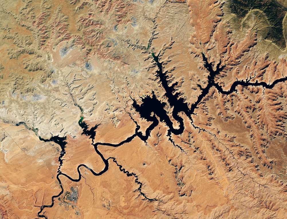
Lake Mead, farther downstream, hit record lows in August 2026 too, and the federal government has agreed to pay Southern California’s largest water supplier to leave part of its share in Lake Mead. The Virginia Tech record ends in 2023, so it says nothing directly about groundwater this year. But in the Upper Basin, the team found that a deep surface-water shortage made a groundwater drought about 95 percent likely. Groundwater can buffer shortages, the release said, “but that buffer is not unlimited.”
In Arizona, the pumps start first
In the Lower Basin the timing runs backward. Wells there began dropping about four months before the reservoirs, while in the Upper Basin groundwater trailed the reservoirs by about five months. The study’s plain-language summary says that points to human water use as the main stress in the drier south.
Arizona manages pumping in zones it calls Active Management Areas, and the largest losses came in Phoenix and Pinal, the study found. From 2020 to 2022, Phoenix lost about 650,000 acre-feet (0.8 cubic kilometers) and Pinal about 730,000 acre-feet (0.9 cubic kilometers), as both saw big cuts in surface-water supply. Tucson gained a little, thanks to Colorado River water from the Central Arizona Project, conservation and managed recharge, which means putting water back underground on purpose. Outside the managed zones, the southern Lower Basin lost about 4 million acre-feet (4.9 cubic kilometers).
In an April 2026 essay for the Natural Hazards Center at the University of Colorado Boulder, Oyedele called groundwater depletion “a slow-motion disaster that is hard to see.” In Pinal County, she wrote, small farmers’ wells have run dry while larger producers drill deeper, and monitoring wells cluster around cities and big farm districts, leaving rural, tribal and marginalized communities under-measured.
What the satellites can’t show
The numbers carry wide error bars. The Upper Basin total could be off by 3.5 cubic kilometers either way, and the Lower Basin total by 6.5. GRACE also sees the land only in patches about 186 miles (300 kilometers) wide. With so few wells up high, the team could not check its biggest number against the ground, snow and soil models make mistakes in steep terrain, and the study leaves out changes in land use and water policy.
Its statistics show which droughts tend to arrive together, but they “do not establish directionality or causation,” the authors write. Satellite data are only one part of the picture, Oyedele noted in her essay. Satellite studies elsewhere have found that 6 billion people live in countries losing freshwater.
Continued losses, especially in the Upper Basin, could further cut groundwater flow to rivers and deepen surface-water shortages, Werth said in the release. To her, the study is a clear signal that looking at surface water alone is no longer enough. The full study was published in Water Resources Research.
Photo: NPS