A 132-pound underwater robot has helped survey North Sea drilling sites without a dedicated survey ship. California-based Bedrock Ocean Exploration reports cost savings of up to 92% for the work with First Marine Solutions (FMS), although the figures come from a company case study, not an independent audit.
The partners announced a multiyear agreement on August 6, 2026, establishing an operating hub in Aberdeen, Scotland. It could make detailed seabed surveys easier to obtain, but the environmental question goes beyond the price tag. Does a cheaper survey also mean a cleaner one?
The ship changed, but it did not disappear
FMS needed to check seabed areas before anchors were installed for a semi-submersible drilling rig. Rather than using a dedicated survey ship or an anchor-handling vessel with a remotely operated vehicle, it deployed Bedrock’s drones from a hired platform supply vessel.
The reported savings were approximately 92% against the anchor-handling vessel and underwater vehicle combination, and 79% against a conventional survey ship. Bedrock also reported data resolution of 0.25 to 0.5 meters in water deeper than 100 meters. Its case study does not disclose the underlying cost calculations, so those percentages are not a guarantee for every project.
What fits inside the small survey robot
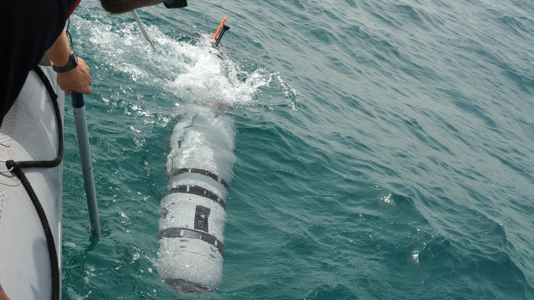
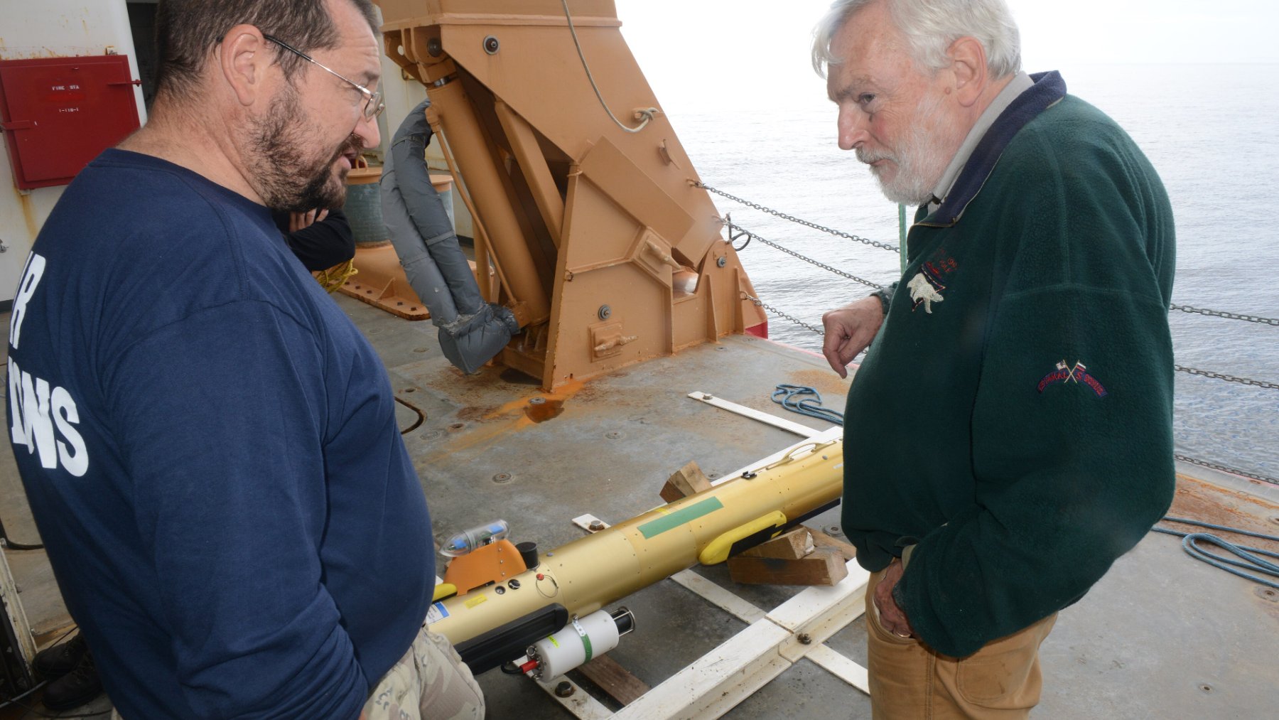
Bedrock’s specifications describe a vehicle roughly 7 feet 10 inches long, weighing 132 pounds in air and rated to dive to 984 feet (300 meters). A swappable 3-kilowatt-hour lithium-ion battery allows operators to exchange batteries rather than wait for one to recharge. Its equipment includes sonar for examining the seabed and a magnetometer for measuring magnetic fields.
What makes it autonomous? As NOAA explains, autonomous underwater vehicles (AUVs) follow planned missions without a tether to a ship or continuous direct control from an operator. Their compact designs can allow deployment from smaller, less expensive vessels.
What the one-meter target really means
Bedrock lists “Special Order” survey performance down to 60 meters (197 feet), and “Order 1a” down to 140 meters (459 feet). Those claims concern survey quality, not the vehicle’s maximum diving depth.
Under the International Hydrographic Organization’s Special Order standard, surveys must detect cubic seabed features larger than one meter (about 3.3 feet) on each side and provide complete seabed coverage. That does not mean every smaller object will be identified. A separate “Exclusive Order” sets even tighter requirements.
Resolution and detection are not interchangeable, either. A finely detailed map still has to satisfy requirements for positioning, depth uncertainty and feature detection before it meets a survey standard. The responsible authority ultimately decides whether those requirements have been achieved.
The environmental promise needs its own evidence
Before offshore electricity can reach a kitchen outlet, developers need to understand where turbines and underwater cables can go. The U.S. Bureau of Ocean Energy Management uses survey data to assess seabed conditions and the environmental impacts of renewable energy infrastructure.
Cheaper surveys could make repeated inspections easier to afford, but battery power alone does not establish a climate benefit. The North Sea case study provides no measured fuel-use or CO2 comparison, and its operation still involved a support vessel.
A meaningful emissions comparison would need to account for the vessel’s fuel, time at sea, equipment transportation and battery charging. Saving 92% on a bill is not the same as cutting emissions by 92%. That distinction matters when evaluating any technology advertised as greener.
Aberdeen now has trained operators
The agreement places Bedrock equipment at FMS’s Aberdeen facility and is intended to let local personnel perform most operations and maintenance. In practical terms, the partners aim to avoid repeatedly shipping equipment back to the United States for support.
By August 19, Bedrock said it had completed its first operator-certification course, comprising two classroom days and three days on the water from Montrose. Participants included personnel from FMS, Hydroconsult and Ocean Ecology. “The AUVs are highly modular and easy to handle,” Hydroconsult’s Olivier Calmon said in the company’s update.
Better maps are only the beginning
The wider mapping gap remains enormous, with 28.7% of the global seafloor mapped using modern high-resolution technology as of April 2026, according to NOAA. For perspective, the agency puts the ocean’s average depth at 3,682 meters (12,080 feet), far beyond this vehicle’s 300-meter rating.
Also, a sonar map is not an ecological inventory. NOAA notes that seabed maps can indicate potential habitats but cannot identify the species living there or explain their interactions.
Bedrock’s work points toward a more flexible way to collect some of that foundational information, rather than a replacement for every ship or environmental study.
The official update on operator training was published on “Bedrock Ocean Exploration.”